
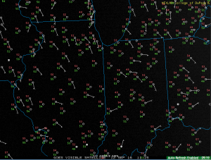
It’s a quiet and cool start to the work week across central Indiana. In fact, a couple upper 40s are showing up on the morning station plots. It’s getting to be that time of the year… (Feel free to click on the image to enlarge).
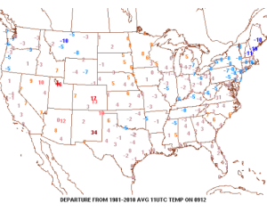
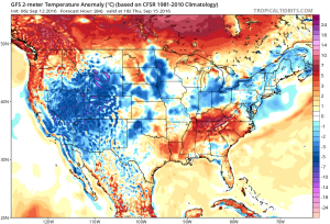
 Temperatures are running slightly below average, locally, with cooler anomalies across the Northeast.
 High pressure will remain entrenched over our region today and supply dry conditions and pleasant humidity levels.
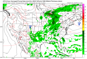
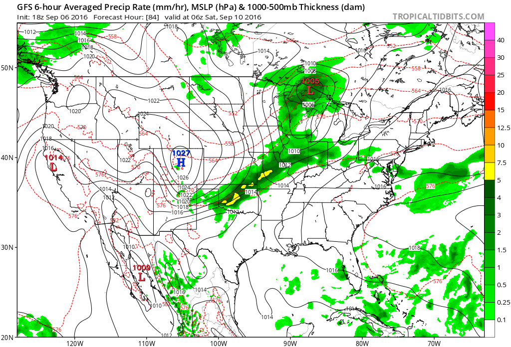
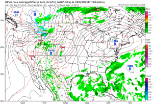 Our next storm system will push in Wednesday and as the cold front sags south through the state, it will spark scattered showers and possibly a thunderstorm.
 Reinforcing cool air will move in behind the front for a couple days. Lows in the lower-middle 50s with highs in the upper 70s.
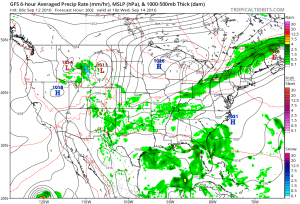
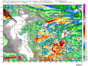
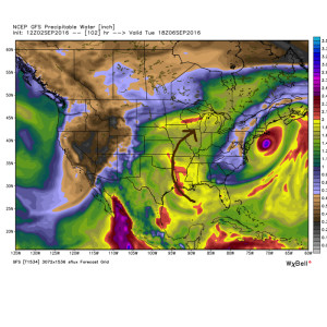
 As we flip the page to the weekend, it still looks rather damp Saturday as another boundary moves in. This will have more moisture to work with when compared to Wednesday and rain coverage will be more widespread. As a whole, (7) day rainfall totals should be in the 0.50″-1.00″ range for most.


 It’ll be a downright hot week, as well. Temperatures will top out around 90 through the end of the short work week.
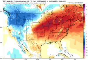 As we rumble into next weekend and the following week indications continue to point towards wetter and cooler times.
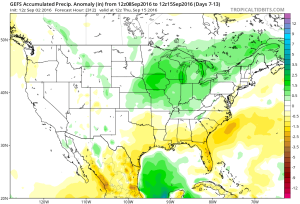 Early numbers off the press suggest 1″-2″ rains possible next weekend.
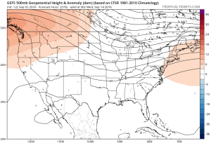 It’s possible the first push of widespread 40s loom around the middle of the month. Time will tell…