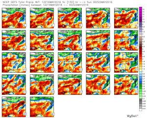
After a damp and chilly open to the weekend, drier air began to infiltrate the region this afternoon and led to a brighter/ warmer finish to the day. We’ll add more sunshine and tack on a few degrees to the afternoon high on Sunday. It’ll be a phenomenal weather day across central IN, thanks to high pressure. Get out and enjoy it!
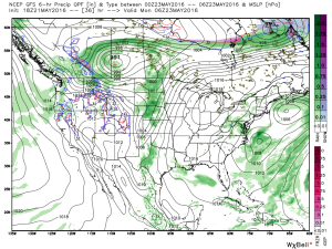 Dry and sunny weather will greet us to open the new work week, along with temperatures that will approach the 80 degree mark by Tuesday. Have yard work to get caught up on? Take advantage of the early week weather.
Things will begin to change towards an unsettled regime as early as Tuesday evening/ Wednesday as the region gets into an increasingly moist southwesterly air flow.
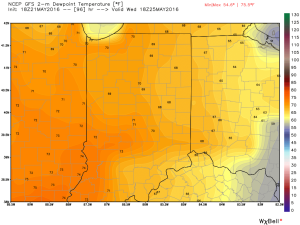
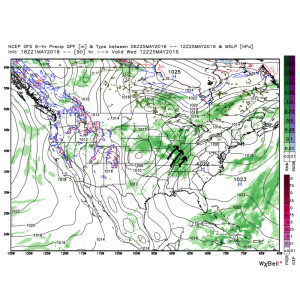 As such, we’ll increase the chances of showers and thunderstorms in our mid week forecast. It’ll also be a much more humid feel of things (really for the first time this year) as surface dew points surge into the upper 60s to lower 70s. (In other words, “oppressive”).
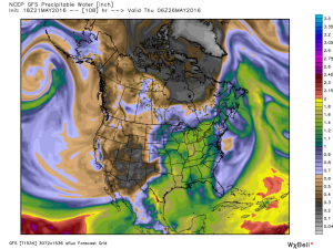
 Factor in PWATs (precipitable water values) zooming to 1.5″-1.8″ and the threat is there for localized heavy downpours around mid week.
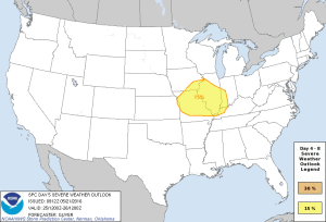
 Additionally, we also note the Storm Prediction Center (SPC) has placed western sections of our forecast area in a risk of severe weather Wednesday. We’ll keep a close eye on things.
 As we progress into the late week period and on into the long holiday/ race weekend, a warm, humid, and unsettled time of things is expected to continue. It’s tough to pinpoint specifics from this distance, but just keep note of the threat of thunderstorms into and through the upcoming busy weekend, along with warm (highs in the lower to middle 80s; lows in the upper 60s) and humid conditions.
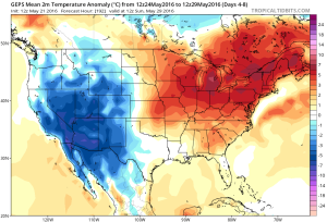
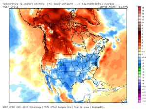 We’ll remain below average through the upcoming week, but temperatures will begin to moderate over the weekend into next week.
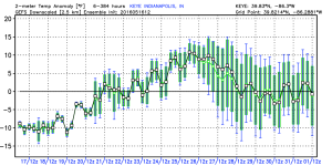 In general, we agree with the temperature anomalies above, courtesy of the GEFS. As noted, the cool start to the period will moderate and turn warmer next week. Unfortunately, that warmer trend won’t last and it’s likely we trend cooler around the Memorial Day weekend.
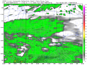 Drier air is still expected for mid week, as high pressure builds into the region. Needed sunshine and pleasant conditions can be expected.
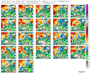
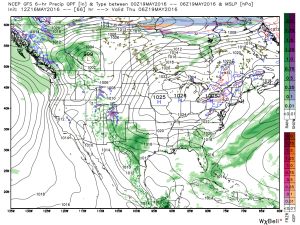 As we look forward to the weekend, modeling is still at odds with one another. The European remains consistent on the idea of heavy rain while the GFS remains consistent on a drier solution (rain, but much lighter amounts). That said, we note the consensus of the GFS ensemble members is more aggressive and reflects the idea of the European. We’ll remain firm on the idea of potentially heavy rain building in Friday into Saturday.