Changes Ahead…
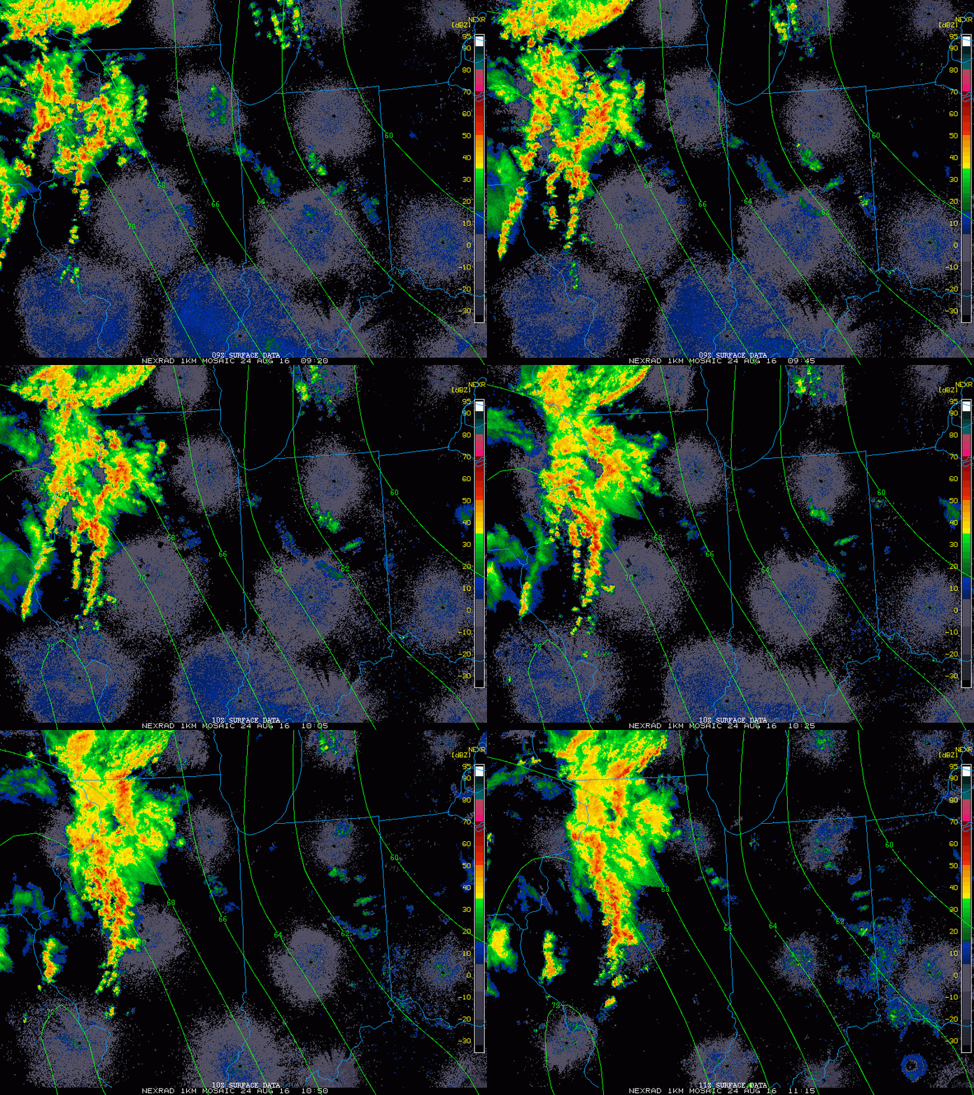
Today into Wednesday will offer up more of what we’ve grown so accustomed to over the past several days- incredibly humid air, along with scattered heavy thunderstorms. Similar to days past, the humid, “heavy” nature to our air will help fuel localized torrential downpours.
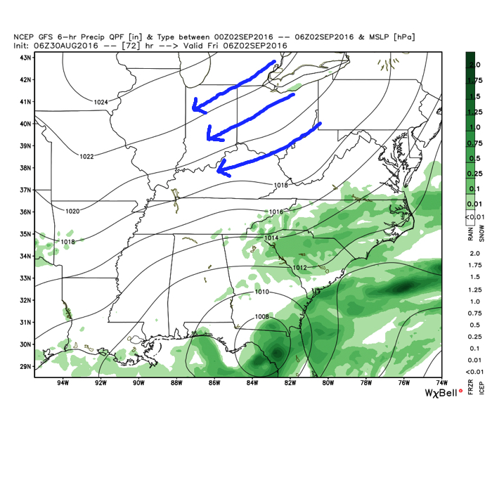
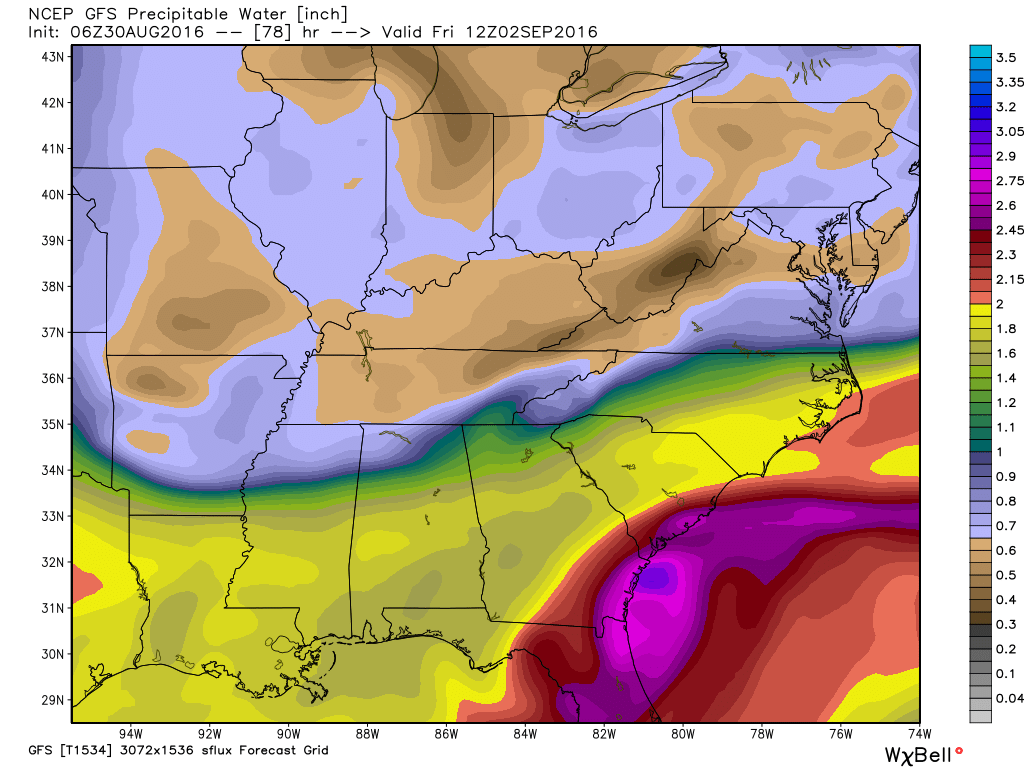
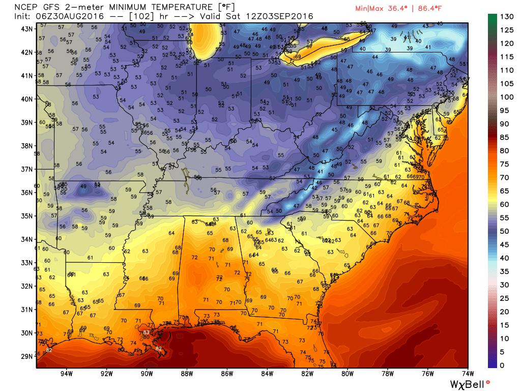
Thankfully, the hour glass has been “flipped” and time is running out on the humid air mass. In fact, as early as Thursday morning, we’ll notice a huge change. A northeast flow will provide a much drier brand of air and temperatures will also cool significantly. Several mornings (Thursday through Sunday) will feature lows in the 50s with highs in the 70s. Lows into the upper 30s will drive southeast into the high ground of the beautiful east TN mountains.
 Eventually, our air flow will back around to the southwest and help push Labor Day into the “hot” territory. Highs in the upper 80s to around 90 will be common for Labor Day, itself.
The balance of the first half of September looks warm, but there are indications for changes to begin showing up towards mid to late month that would lead towards more sustained, consistent pushes of cool…
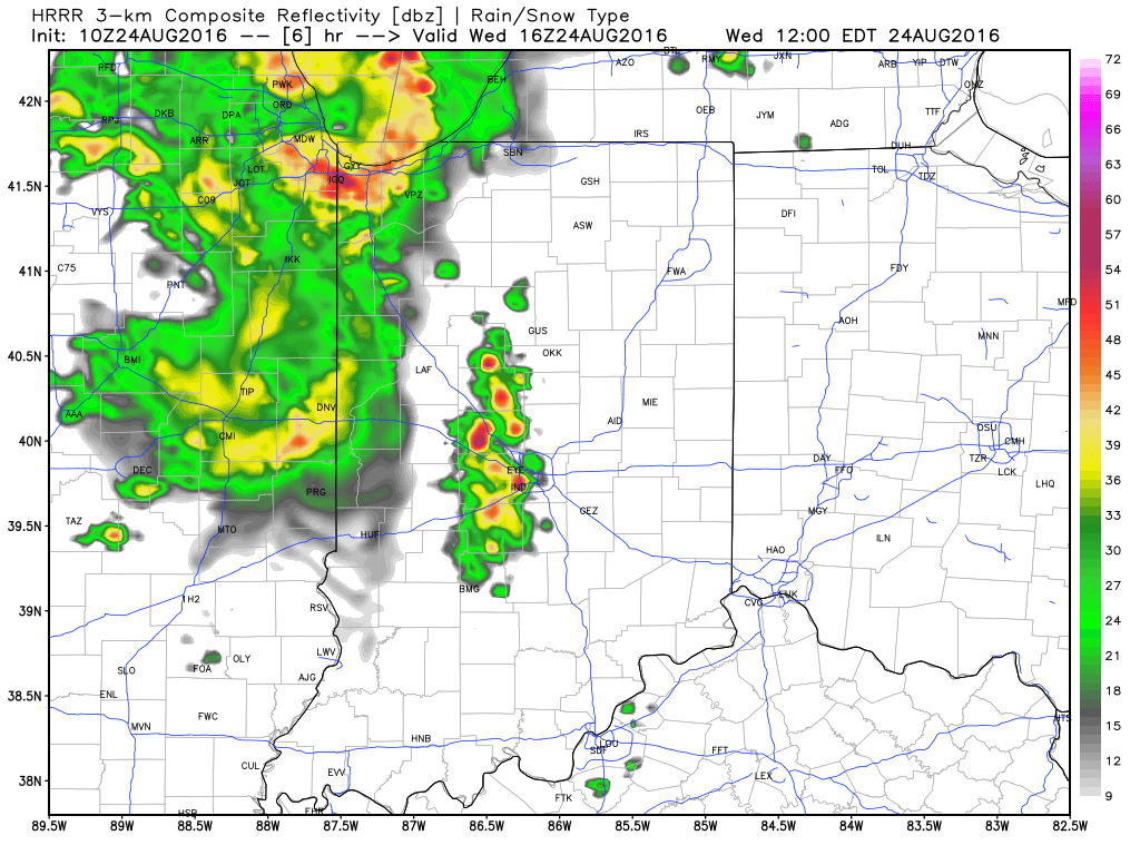
 2.) HRRR futurecast radar delivers thunderstorms into central IN around the lunchtime hour.
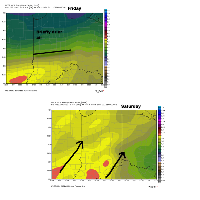
 3.) Scattered thunderstorms remain Thursday (some strong to severe), but drier air will briefly push in across the northern half of the region Friday. We think from Indianapolis and points north, it’ll be a very pleasant end to the work week. That said, “briefly” is the key word. Moisture will surge north again Saturday and Sunday and isolated to scattered storms will follow suit.
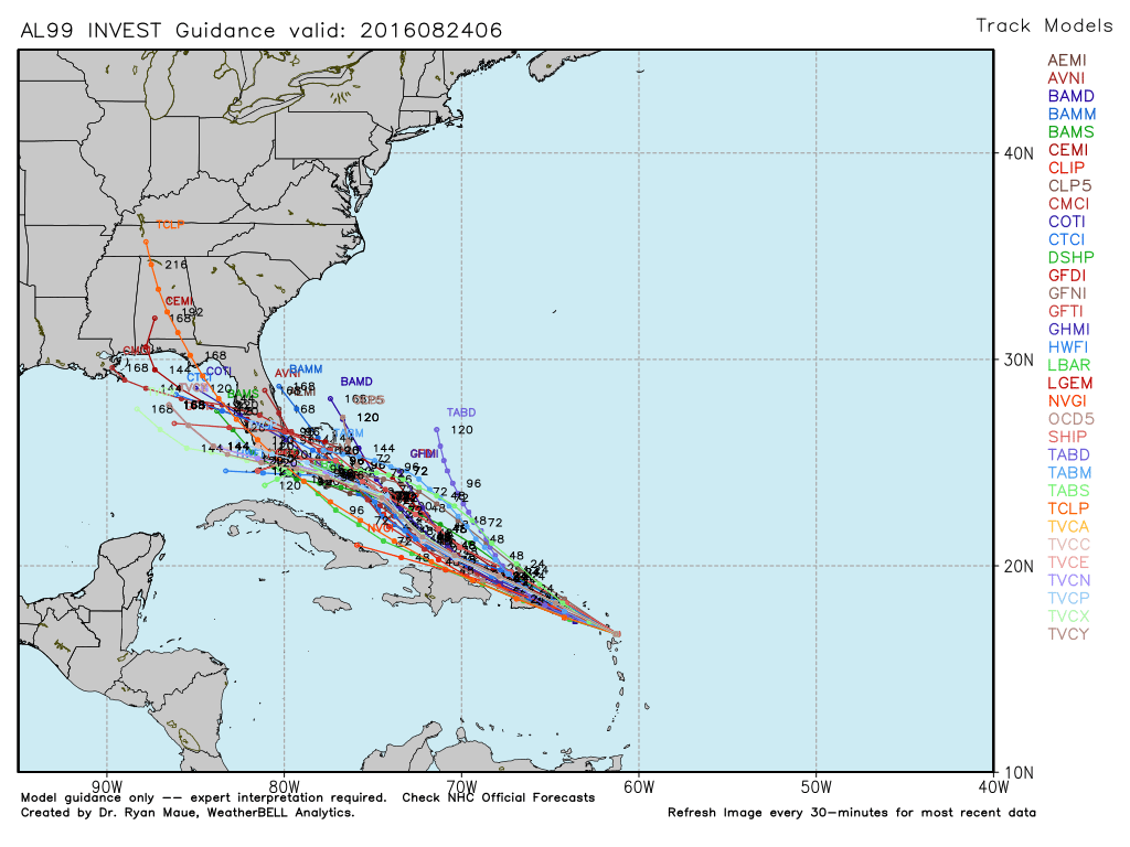
 4.) Attention next week will shift to the tropics. There are many more questions than answers at this point, but understand the potential is there for significant tropical troubles next week. Intensity and track are far from etched in stone, but if your travels take you to the Gulf Coast, we suggest you remain abreast of the latest developments- particularly the southeastern FL coast and the north-central Gulf Coast.