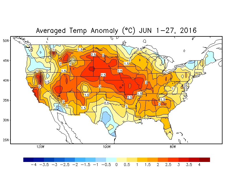
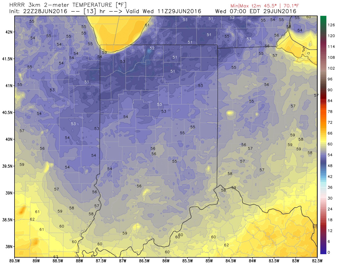
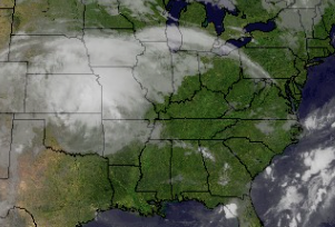
The morning is off to a dry and unseasonably cool start, including filtered sunshine. Temperatures are running 15-20 degrees below normal across the state, with many central IN neighborhoods currently in the lower to middle 50s.
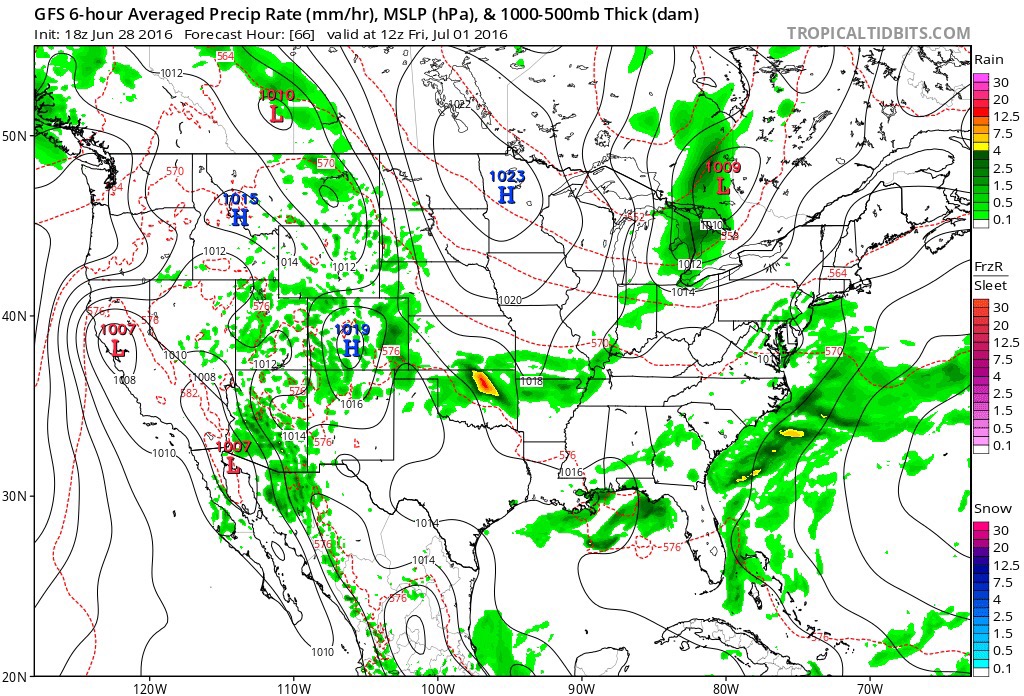
 Mid and high level clouds will spread over the region today, but we’ll stay dry. We’ll notice a lowering and thickening cloud deck by evening and this is a hint at things to come Sunday.
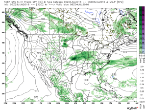
 Rain will overspread the region Sunday morning, increasing in coverage and intensity as we progress into Sunday evening.
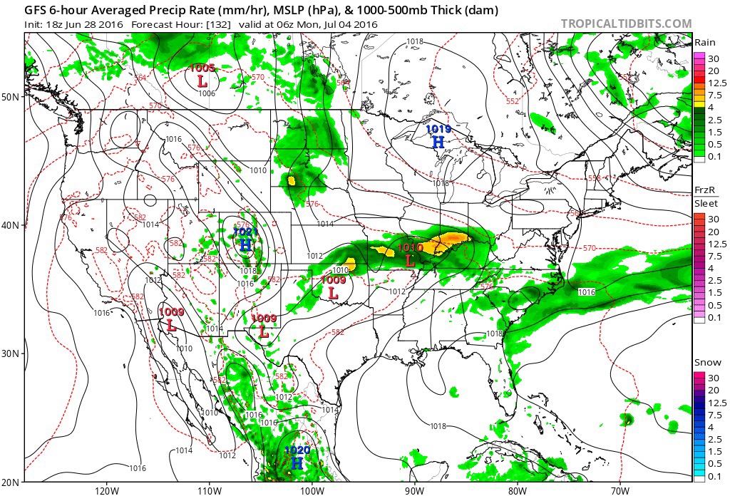
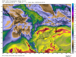
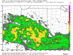 Rain will turn locally heavy at times and we expect a widespread swath of 2″-3″ totals through the heart of the state, with localized heavier amounts. Precipitable water values exceed 2″ across central and southern IN Sunday evening and will likely promote a flash flood threat.
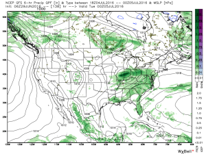
 Most of the rain falls Sunday morning-Monday morning before drier air begins to try and work in here as Monday afternoon arrives. As of now, we think Monday evening firework shows should be a go!
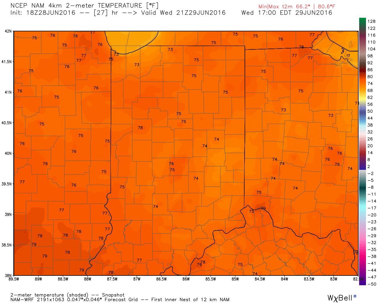
Sunday will also be a chilly day for the time of the year as temperatures north of I-70 likely remain in the 60s most of the day.
We’ll have a video update posted later this evening with fresh thoughts from the 12z model suite.
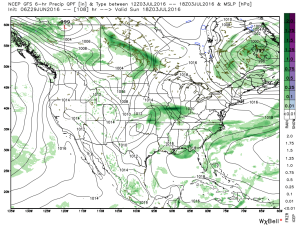
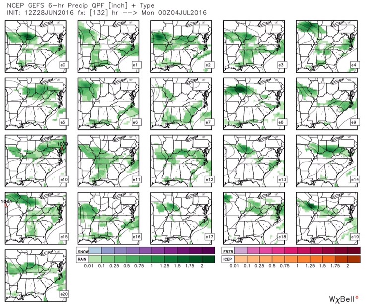
 We note ensemble support, as well.
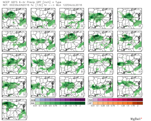 Rain totals will likely be hefty for some, including widespread 2″+ totals where the axis of heaviest rain falls.
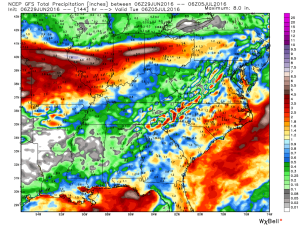
 Stay tuned as we continue to look over data and update the important Independence Day weekend forecast.