Storms May Rumble In Later Today; Cooler For Midweek…
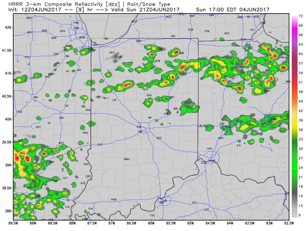
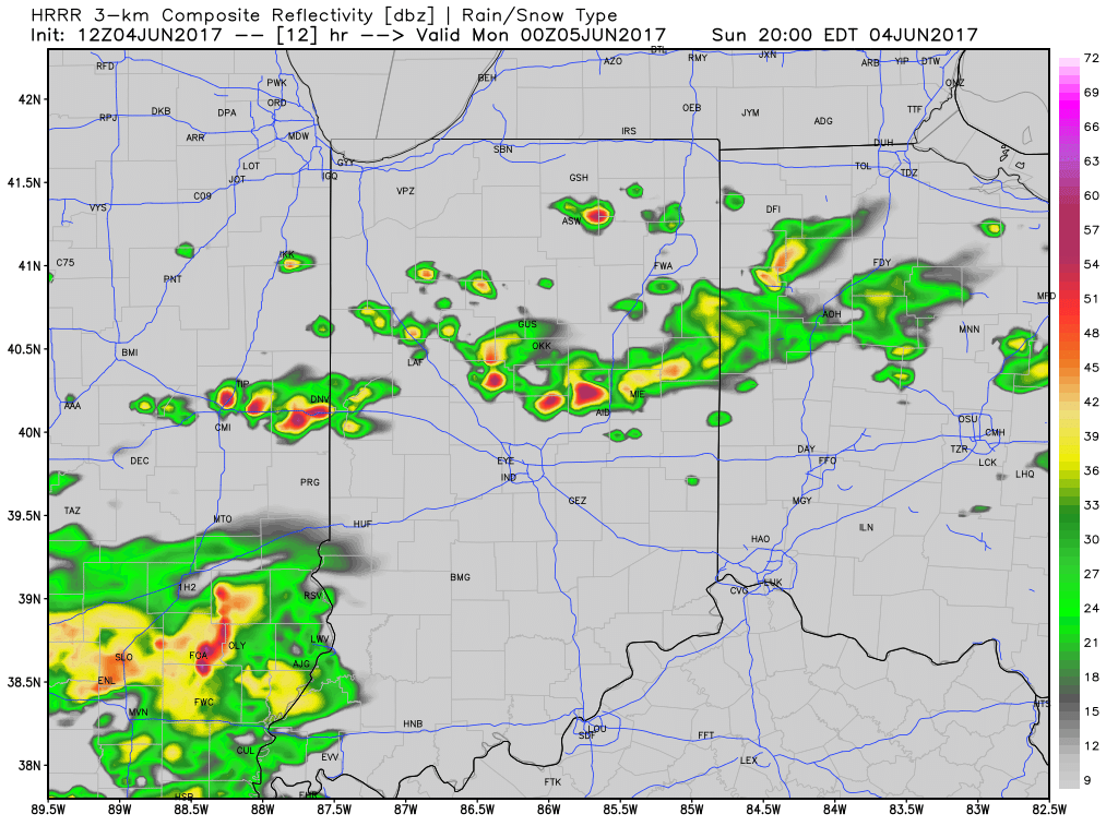
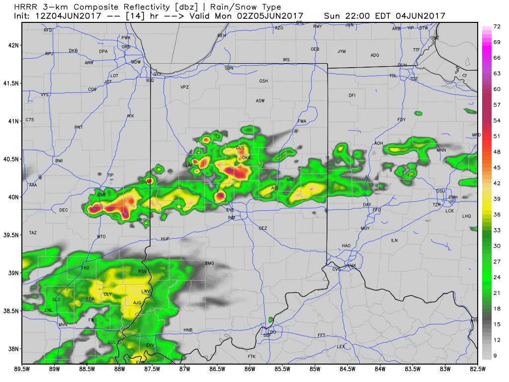
We’ve enjoyed a warm and beautiful weekend, and most of Sunday will follow that pleasant them. However, a cold front will drop south into the state later today and this “trigger” mechanism, combined with the heating of the day, will likely spark a broken line of thunderstorms. These storms will sink south into central Indiana later this evening, and a couple of storms could become strong.
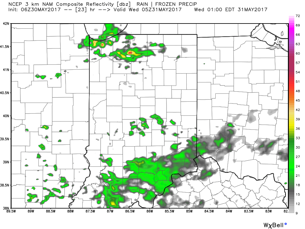
Modeled radar shows how things may evolve later this evening, including time stamps at 5p, 8p, and 10p.
 Most significant rainfall will occur across the northern half of the state, including a couple of 1″+ totals in the heavier storms.
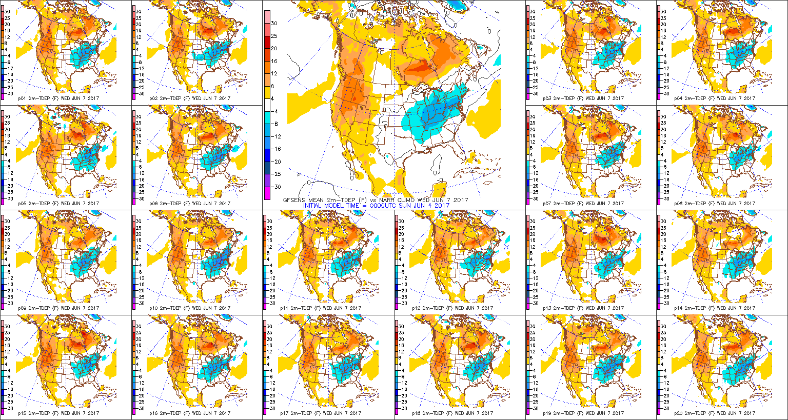
As we push into the midweek stretch, cooler, refreshing air will take up residence across the region. Temperatures will run significantly cooler than average, including lows in the upper 40s for some Wednesday and Thursday morning and highs only in the upper 60s to lower 70s. Dry weather will continue, as well.
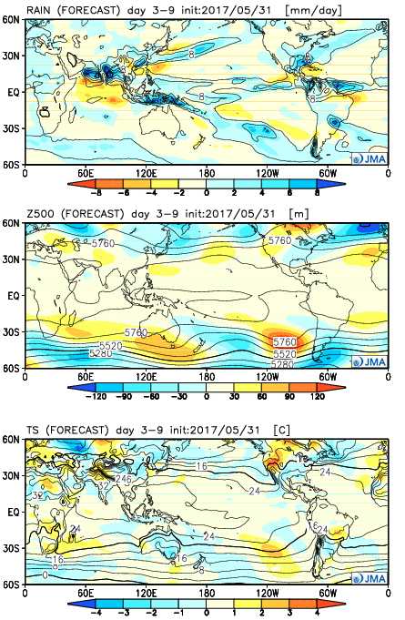 Week 2:
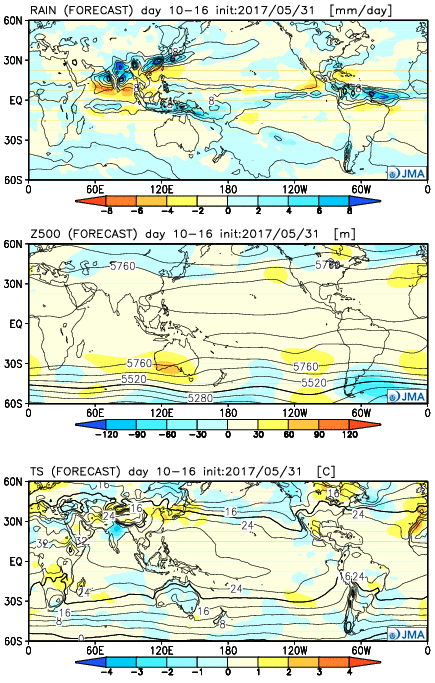 Weeks 3-4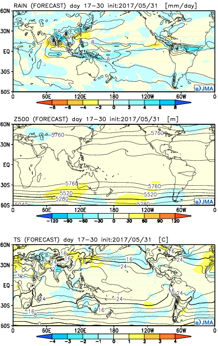
 The majority of our midweek stretch looks rain-free, but more widespread showers and thunderstorms will return as we push into the weekend. Recent trends have also slowed the FROPA (frontal passage) down significantly- now perhaps not until late Sunday.
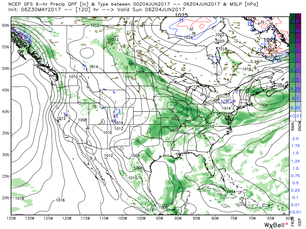 There will be dry time this weekend, but with a moisture laden air mass in place, locally heavy downpours can be expected, including rainfall potential of 1″+ this weekend for neighborhoods that get under a heavier storm.
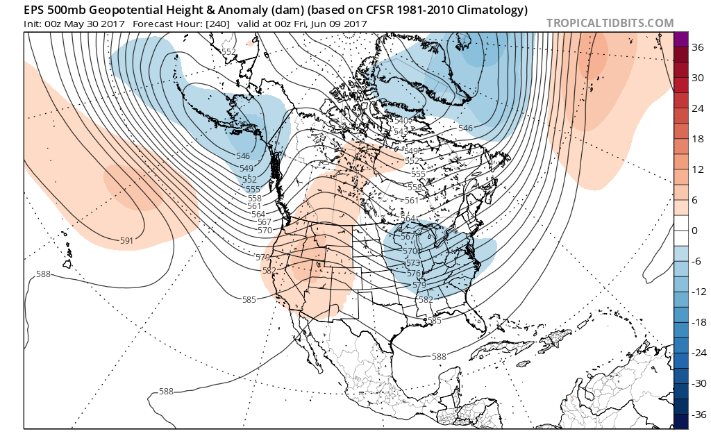 In fact, there may be a couple of days early next week where highs struggle to reach 70° with lows in the upper 40s to lower 50s. Very refreshing, indeed, for early June.
 Despite having to dodge a couple rounds of gusty storms this weekend, we want to stress that the majority of the holiday weekend should feature rain-free hours, and certainly isn’t worth cancelling any outdoor plans. In fact, after a beautiful Carb Day, most of the daytime hours both Saturday and Sunday should be rain and storm free. Have a means of getting the latest weather information, but plan to enjoy long stretches of rain-free hours this weekend.