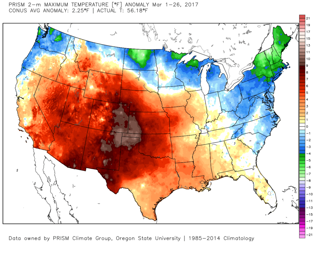
Month-to-date, Indianapolis is running near seasonal norms from a temperature standpoint (0.50° above normal). Chill has dominated the northern tier and eastern third of the country.
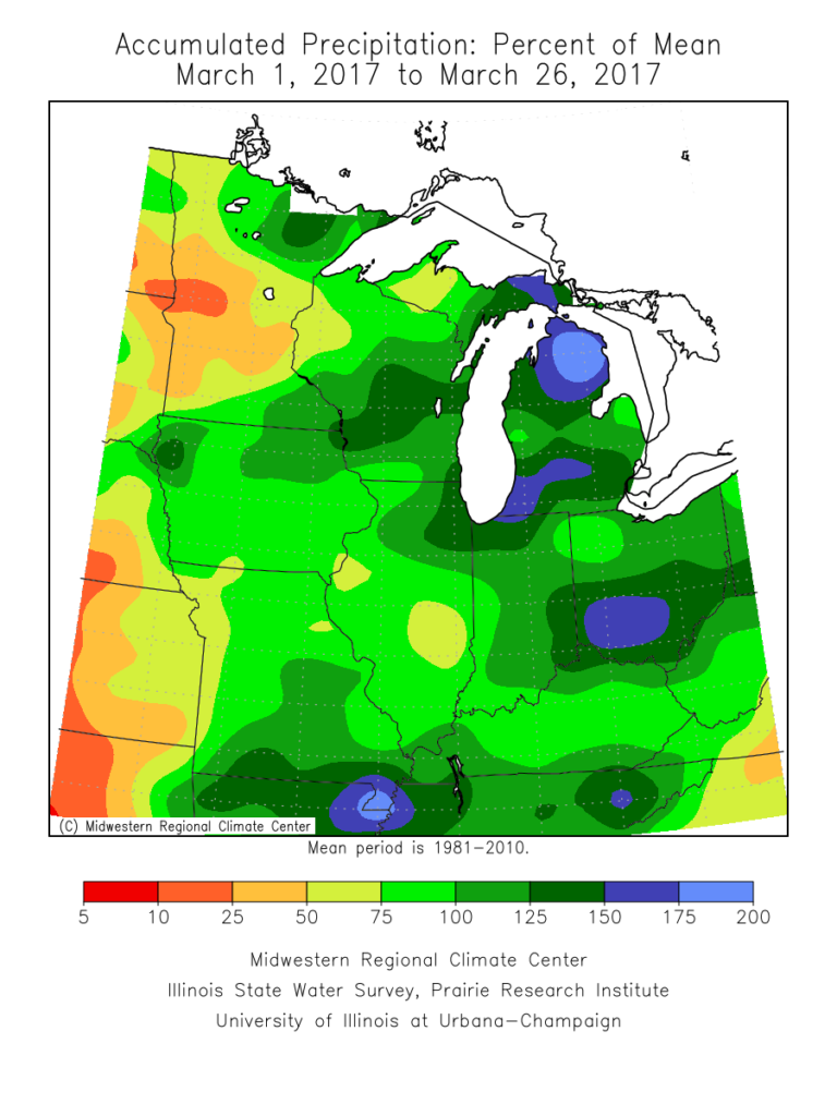
 Precipitation is running above normal, locally, to the tune of nearly 1″ month-to-date. Heaviest rains have fallen across southeastern Indiana over the past (30) days.
 A look at precipitation anomalies across the mid west, month-to-date:
 As we progress through the upcoming (10) days, a transient weather pattern will persist. This will keep forecasters busy, but it should also be stressed it’s not all a “doom and gloom” type pattern, either. There will be plenty of dry time over the upcoming period, including drier conditions building in tomorrow (Tuesday) into a good chunk of Wednesday.
By Wednesday night/ Thursday morning, shower chances will begin to increase and that will set the stage for a wet close to the work week as numerous showers and embedded thunder move across the region Thursday into Friday. This is courtesy of a storm system “bowling” through to our south. This won’t be a severe weather maker for our neck of the woods, but will serve to create a rather damp and gloomy regime during the aforementioned period.
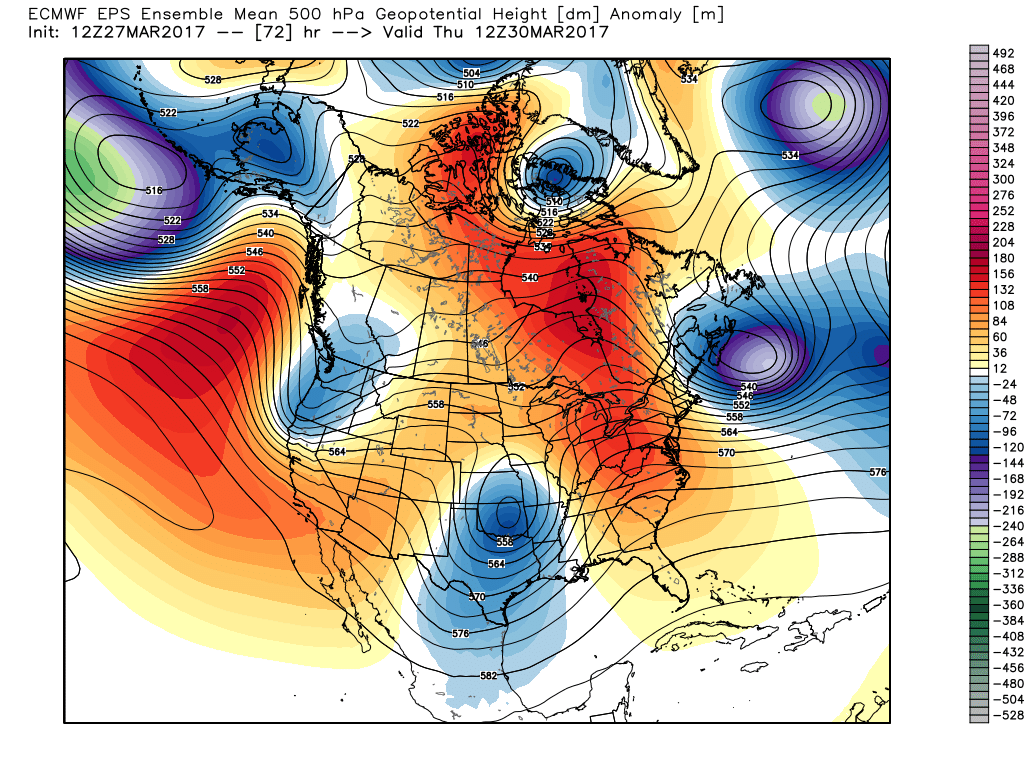
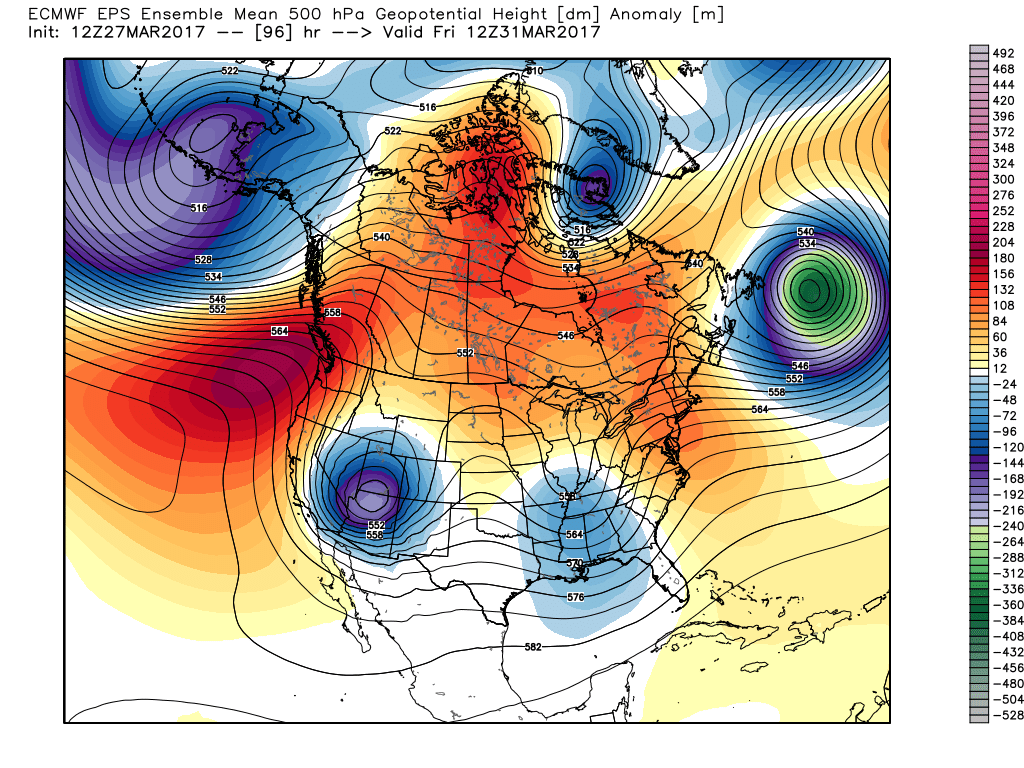 However, timing is our friend this go around as upper ridging develops over the upcoming weekend. Not only will we dry out, but we’ll also enjoy increasing sunshine as the weekend progresses.
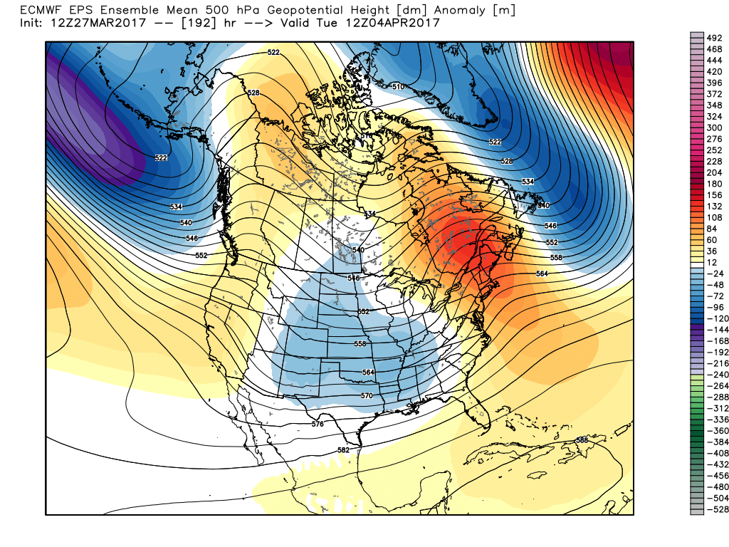
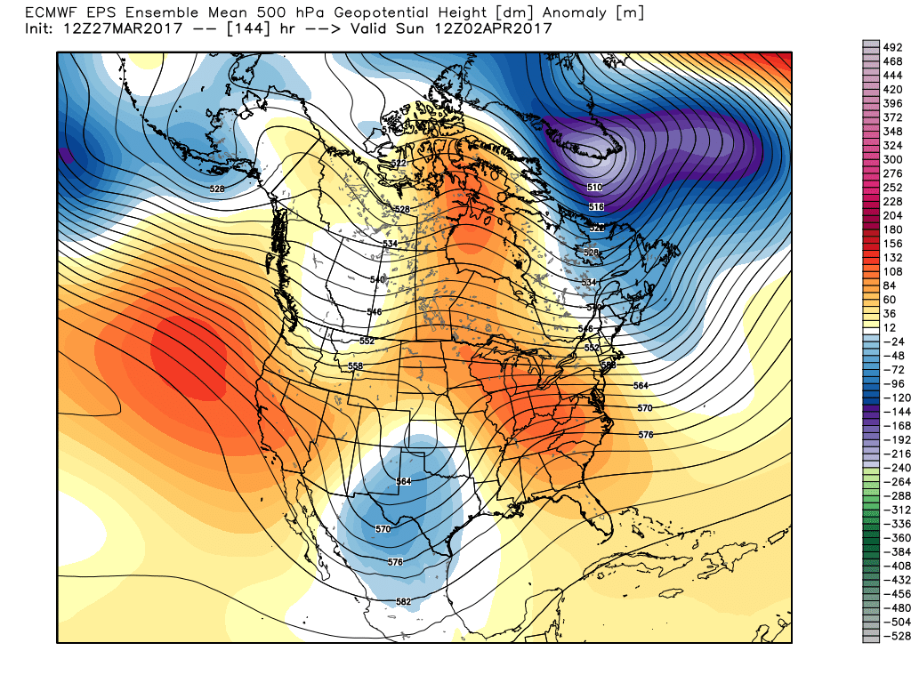 That said, looking further down the pipe line, another (potentially more significant) storm system looms during the 8-10 day period. This would fall in the April 3rd-4th time frame. From this distance, models are bullish on hefty rainfall totals with this storm system and we’ll keep a close eye on things as time draws closer.
 Speaking of April, our overall thoughts for the fourth month of the year (where does time go?) would imply a warmer than average month and active (wetter than average). Relative to average, we feel we still may have some chill to traverse early month, but there’s also some indication we could bust into an early summer-like feel mid and late month. With the mean trough position west and ridging east, we’ll have to also be mindful for the potential of an active severe weather month- especially mid and late month. Overall, the CanSIPS idea below is one we would agree with from a mean 500mb perspective.


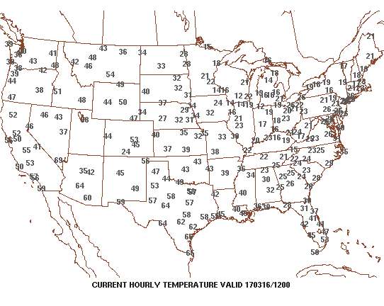 3.) Sunshine can be expected today and after the frigid beginning, a moderating trend will begin this afternoon that will send temperatures into the lower to middle 40s. That’s still close to 10° below average for daytime highs, but will feel much better than what we’ve been dealing with over the past several days. Add in that high March sun angle and it’ll actually be a very pleasant afternoon.
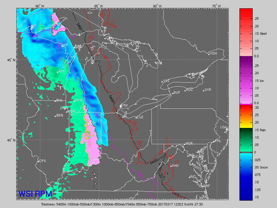
 4.) Unfortunately, we won’t hang on to the sunshine for St. Patrick’s Day. A warm front will lift northeast through the region during the overnight and lead to an increase in clouds by evening. A wintry mix of sleet and freezing rain will impact central IN predawn Friday morning before transitioning to showers mid-to-late morning. “Light” is the key word here with models suggesting less than 0.20″ total. By Friday afternoon we’re back to dry times.
 5.) We’ll turn a touch cooler Saturday and it’ll be a blustery day, as well. A couple of early snow showers are possible across east and northeast portions of the state before afternoon sunshine returns. High pressure settles in overhead Saturday evening and will set up a nice second half of the weekend- lots of sunshine and milder temperatures by Sunday (lower 50s).
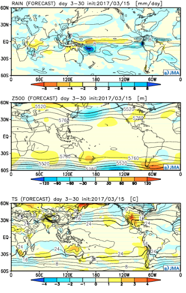
 6.) Looking ahead, the quiet times will be hard to come by as we progress through the latter portions of the month. Both the new JMA Weeklies (shown below) and other ensemble guidance is bullish on a wetter than average close to the month, and also one that features wild temperature swings. Thoughts shift back to severe prospects, especially for our friends to our south and the potential of backlash wet snow showers in the colder air. From a temperature perspective, it’s a pattern that will be very “transient” with no true long-lasting periods of significant warmth, or cold- relative to average.
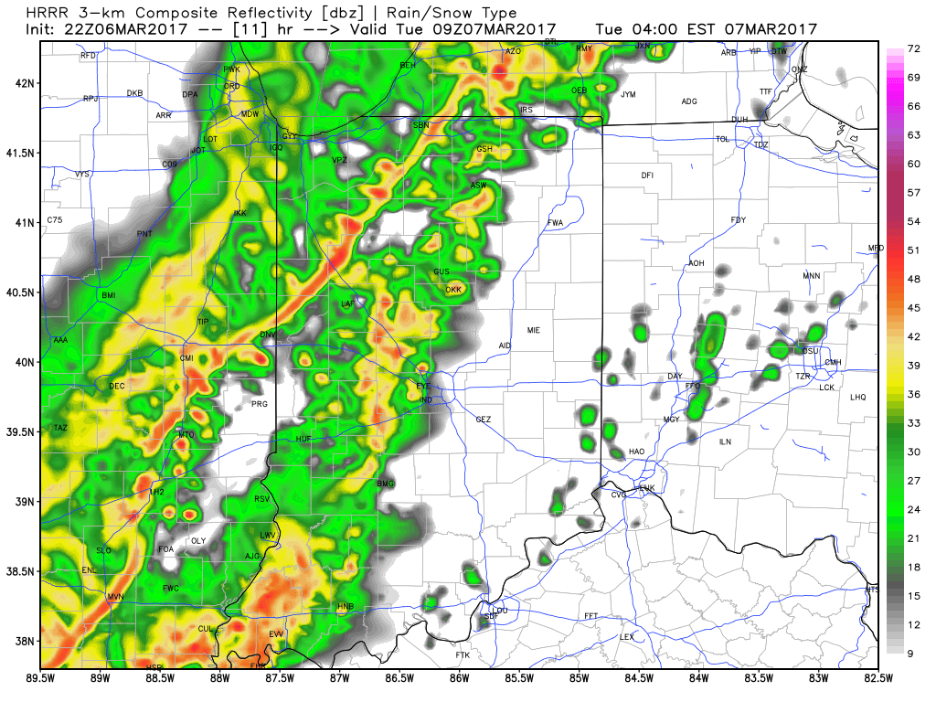
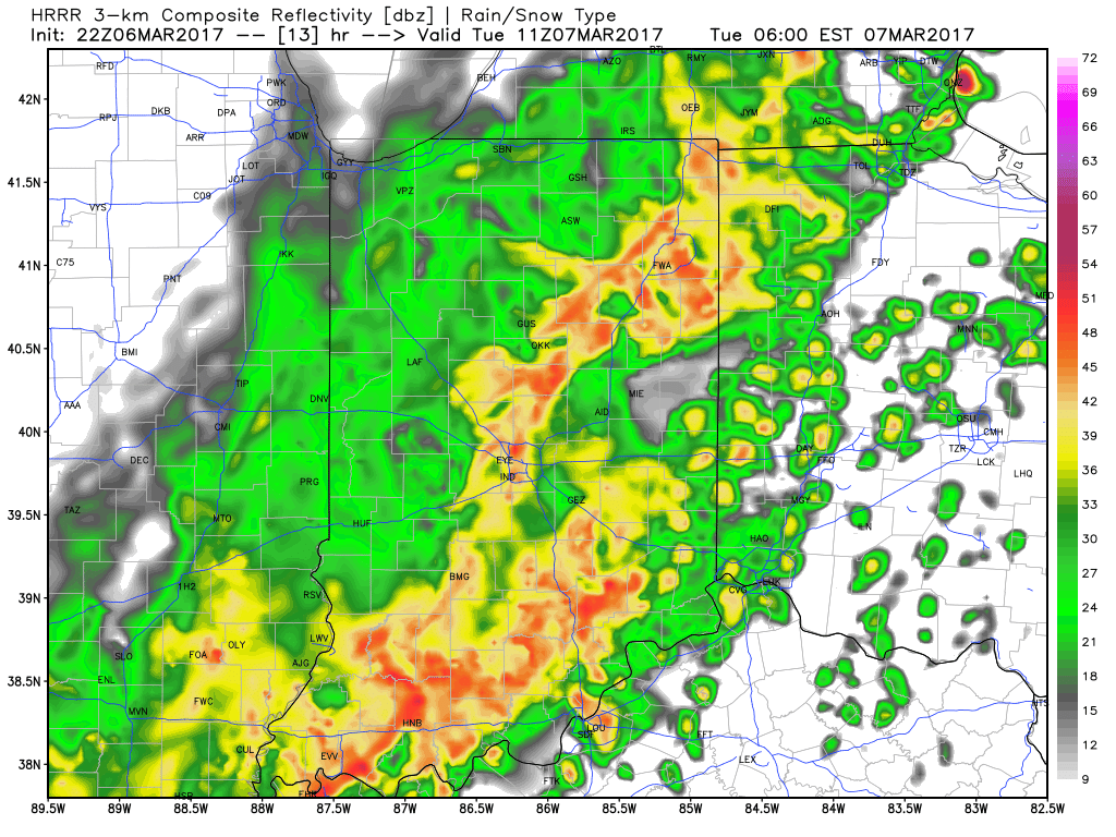

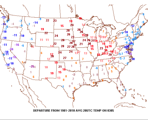


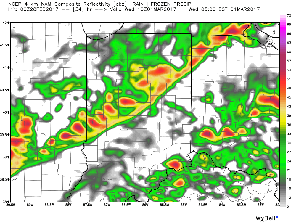
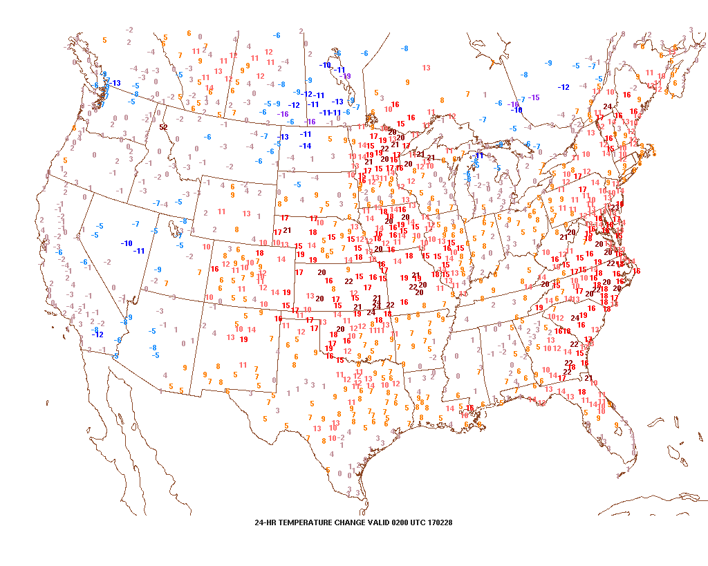 This warmer regime is the sign of stormy times that will develop as we move into Tuesday. An initial round of showers and thunderstorms will impact central Indiana Tuesday morning and the HRRR forecast radar is picking up on this nicely, especially during the predawn hours.
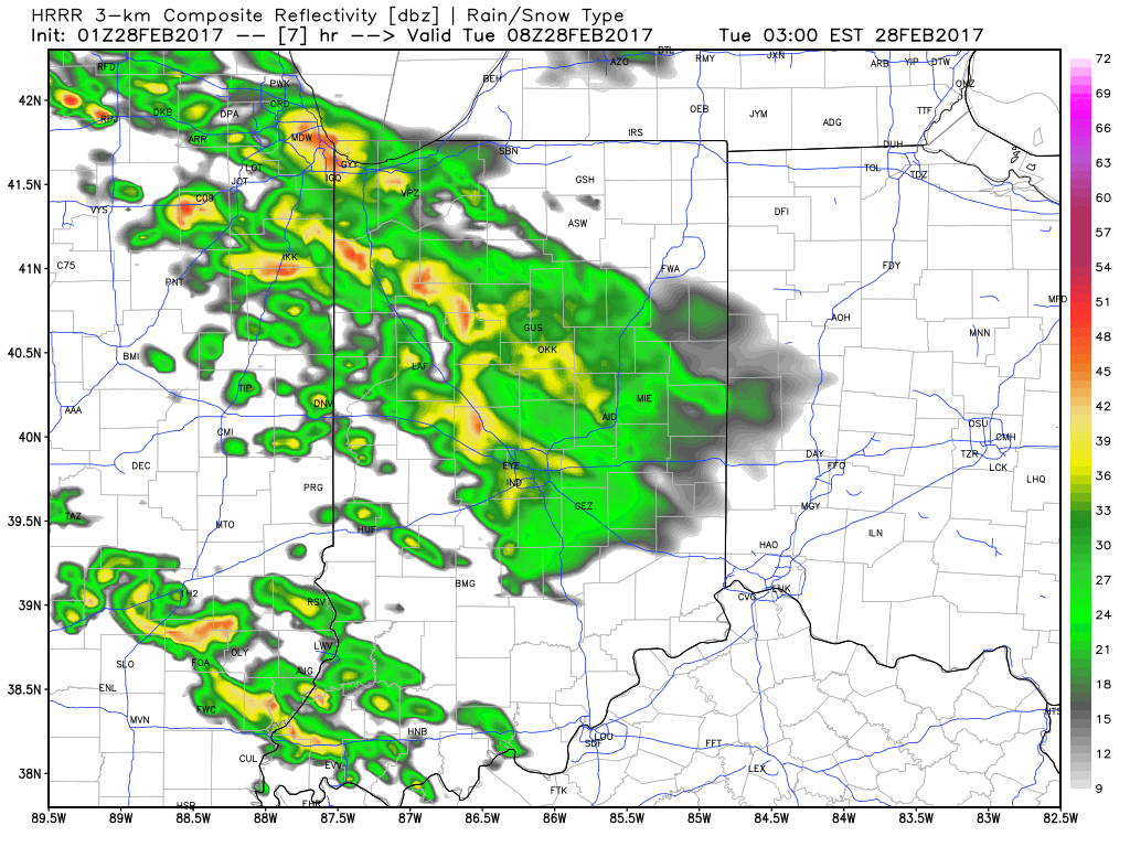 The wet, stormy start to the day will give way to a mostly dry time of things through the majority of the daylight hours Tuesday, but our concentration will be on the Tuesday night-Wednesday morning period, as the potential exists for some rather turbulent weather.
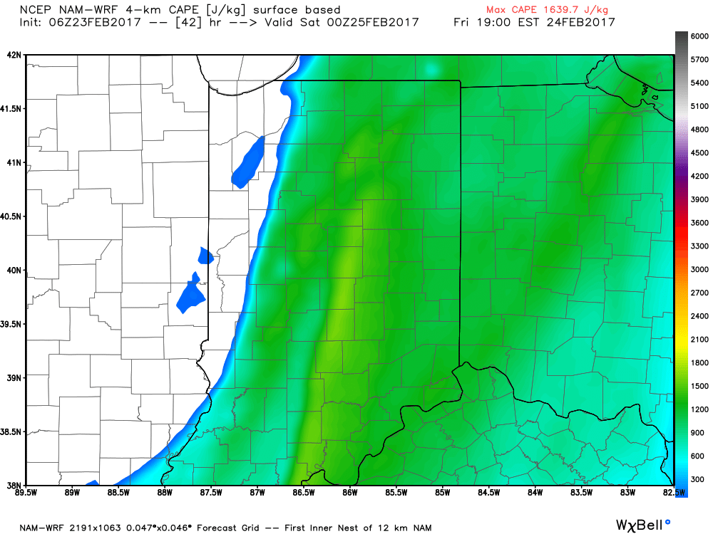
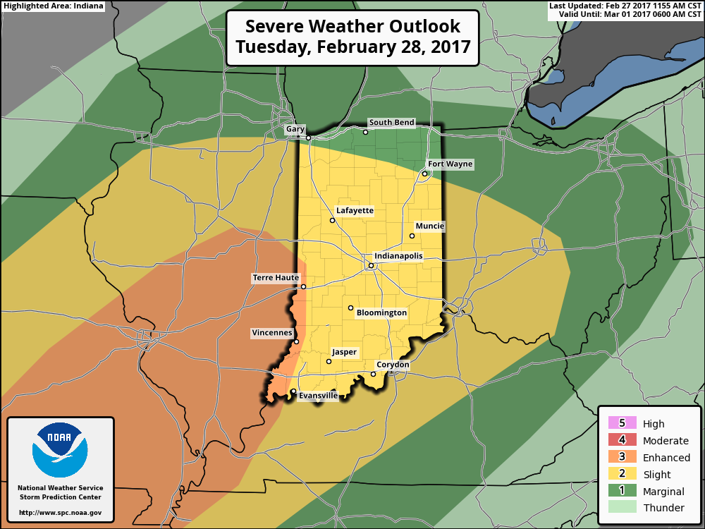 Modeled radar suggests things may begin to get “busy” around these parts late evening and during the overnight. The latest high resolution NAM (hot off the press as of this update) paints a rather ominous look as midnight nears Wednesday morning.
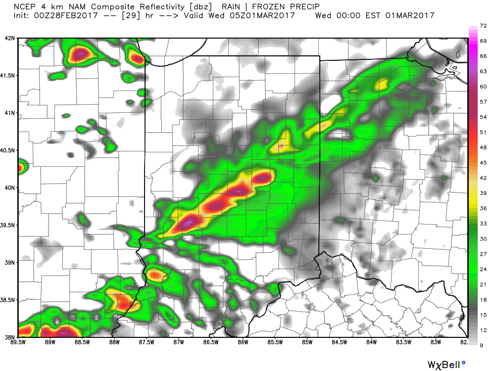 We then note modeling bringing the squall line through central Indiana during the overnight and predawn hours. We’ll have to fine tune timing as we move through the day Tuesday, but we bracket the hours of 2a and 6a when a concentrated line of strong to severe storms rumbles through the state (northwest to southeast). Hail and damaging straight line winds are of greatest concern, but a quick spin-up tornado can’t be ruled out.
 Our weather will turn quieter, but colder, as Wednesday progresses into Wednesday evening, including blustery conditions with falling temperatures.
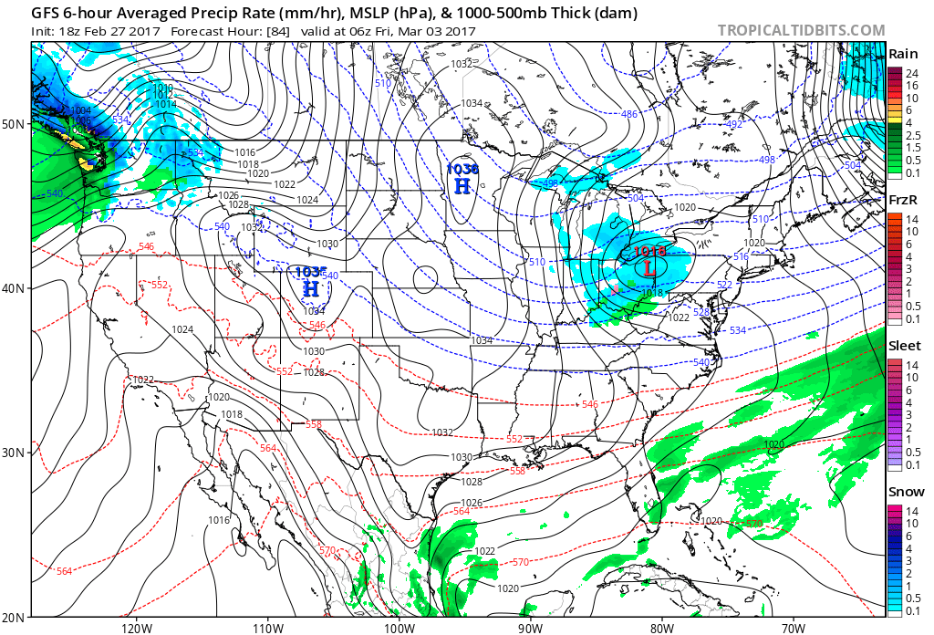 That said, the chilly late week conditions won’t last long, and a gusty southwesterly air flow will develop as early as Saturday. This will help give temperatures a significant boost Saturday afternoon after a cold start to the day. 60° is possible Saturday afternoon and the mercury may approach 70° Sunday!
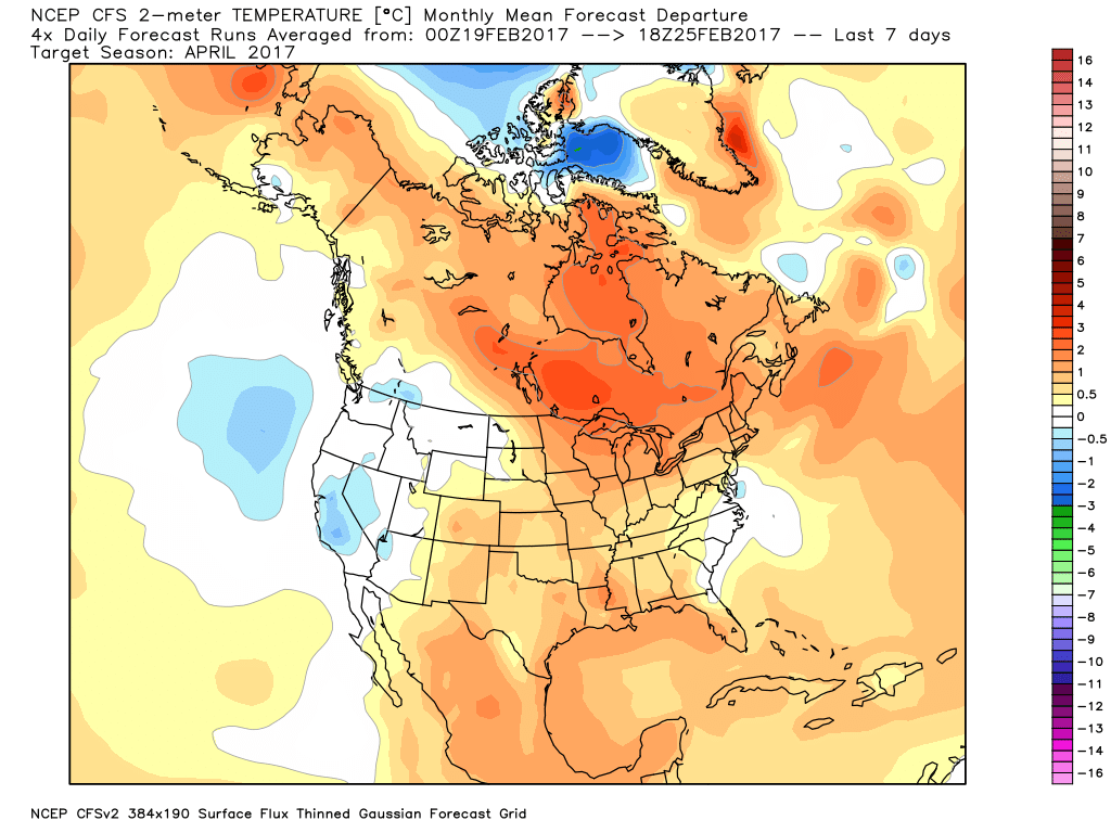
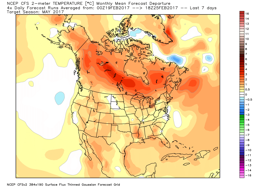
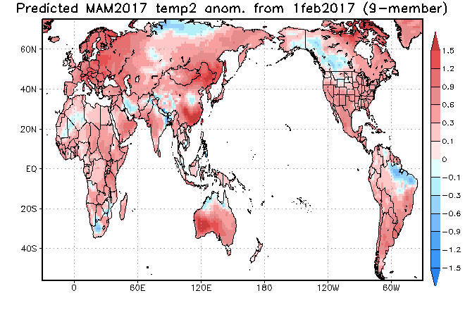
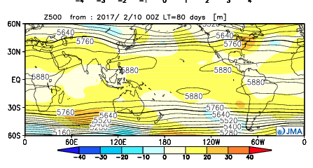


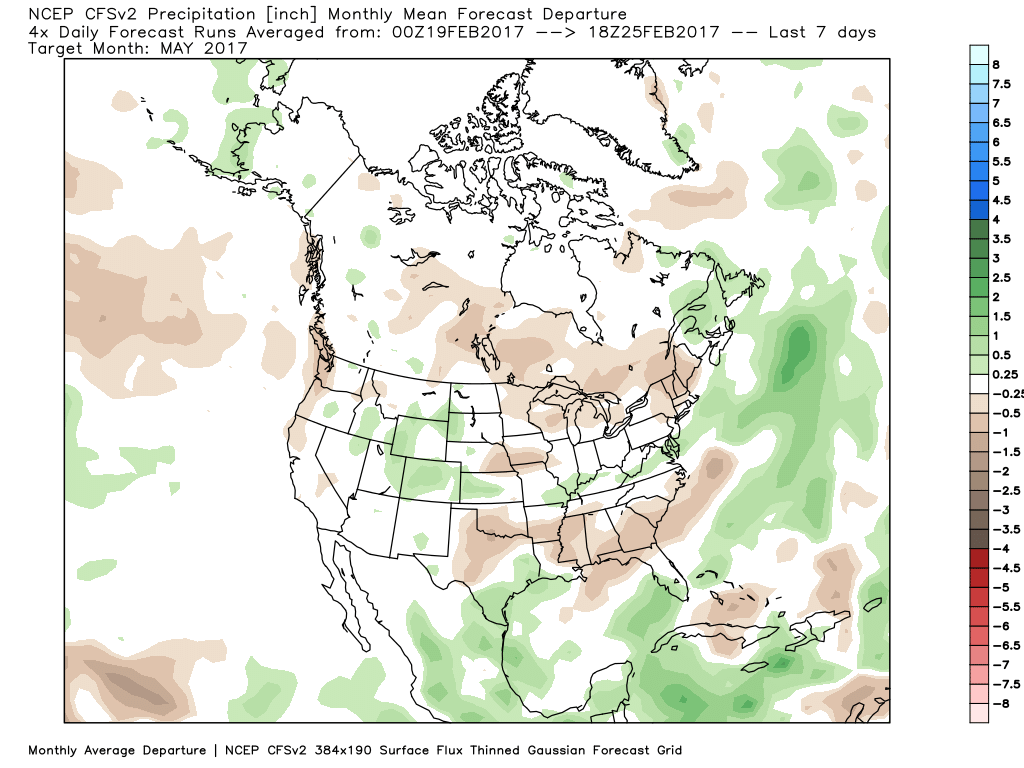
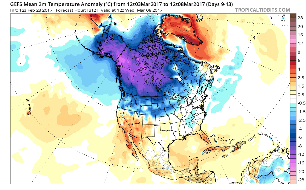
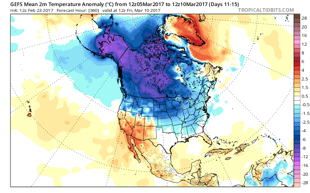
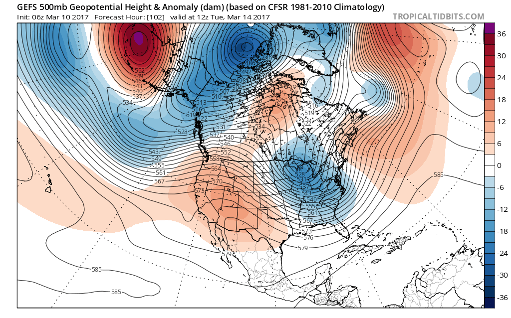
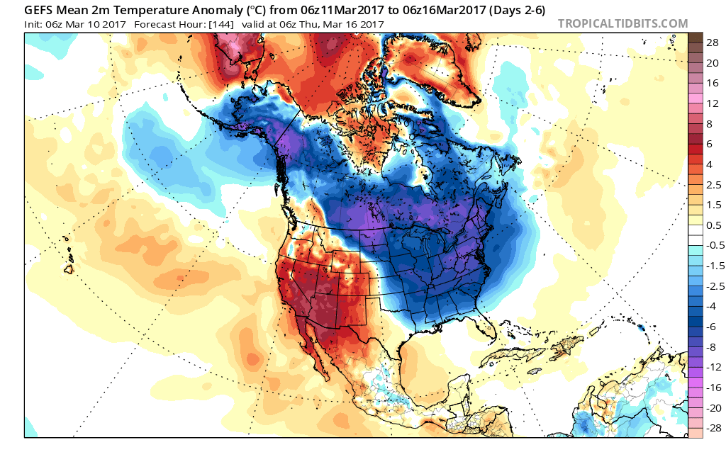
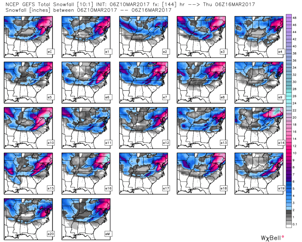
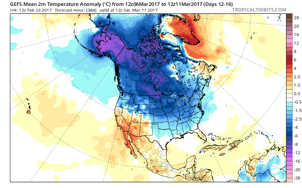 Longer-term indications would suggest the period of chilly, wintry-like, air has a window to take over, but the window is small. Trends would seem to yield warmer solutions once past mid-month, with perhaps a “stick and hold” spring regime taking over.
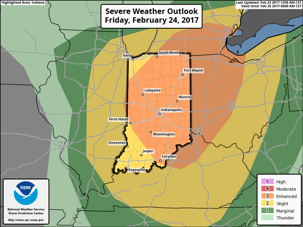 Summary:
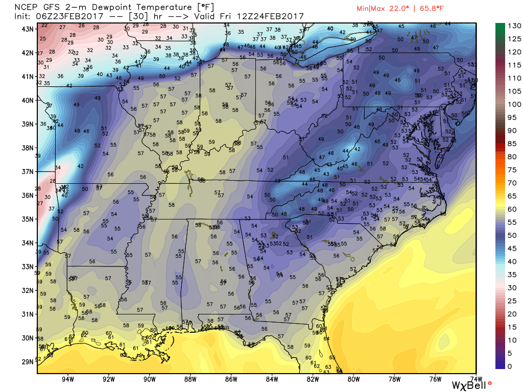
 Threats and Timing: