Client Brief: Snow Builds In Overnight – Predawn Thursday…
Updated: 02.17.21 @ 4:54p
Type: Impactful Wintry Weather
What: Accumulating snow
When: 2a to 9p Thursday
Temperatures: 18° to 24°
Wind: N 10-20 MPH, shifting to the NW Thursday night
Blowing/ Drifting: Considerable
Pavement Impacts: Plowing and salting will be required
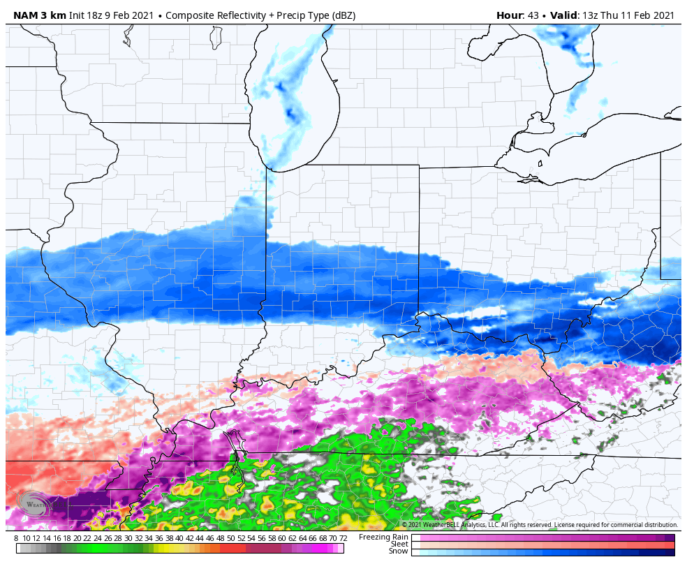
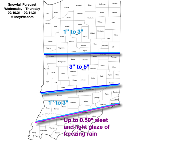
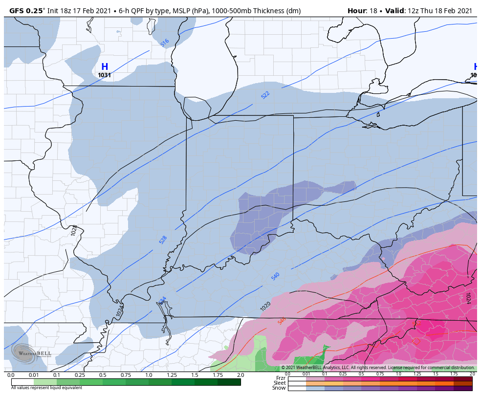
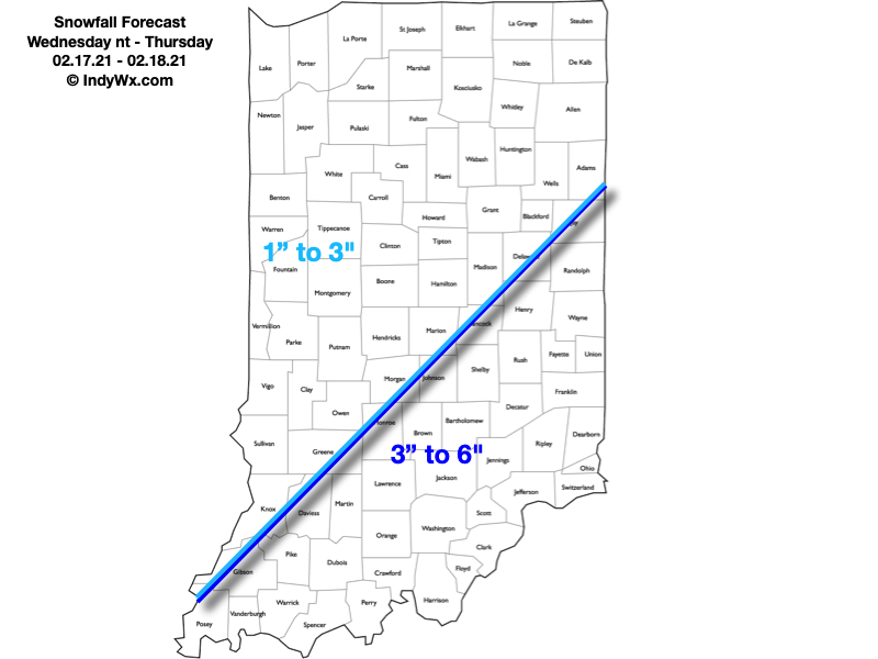
Summary: Another round of snow will lift northeast into central Indiana during the overnight and predawn hours (likely arrives into Indianapolis between 1a and 2a). As like so many of these events in the past, this will be another cold storm, meaning we’re looking at another high ratio (15-20:1) event. The dry, powdery nature of the snow will be blown and drifted around by north to northwest winds of 10-20 MPH through the day. While heaviest snow bands should remain across southern and southeastern Indiana, I still expect the rather persistent nature of the snow tomorrow to add up to the tune of 1″ to 3″ for Indianapolis and surrounding areas. Travel will be impacted, including both the morning and evening rush hour. Eventually the snow will depart from southwest to northeast after dark, exiting Indianapolis by around 8p to 9p.
Skies will slowly clear up on Friday and lead to a dangerously cold night (similar to what we saw this morning) and Saturday morning.
Confidence: High
Next Update: Thursday morning