Before we dive into what we expect for the month of August, here’s a look at where we stand so far for July (with 4 days left as of this post).
This was our July forecast upper air pattern, issued 6.29:
 Here’s a look at temperature anomalies through 7.27:
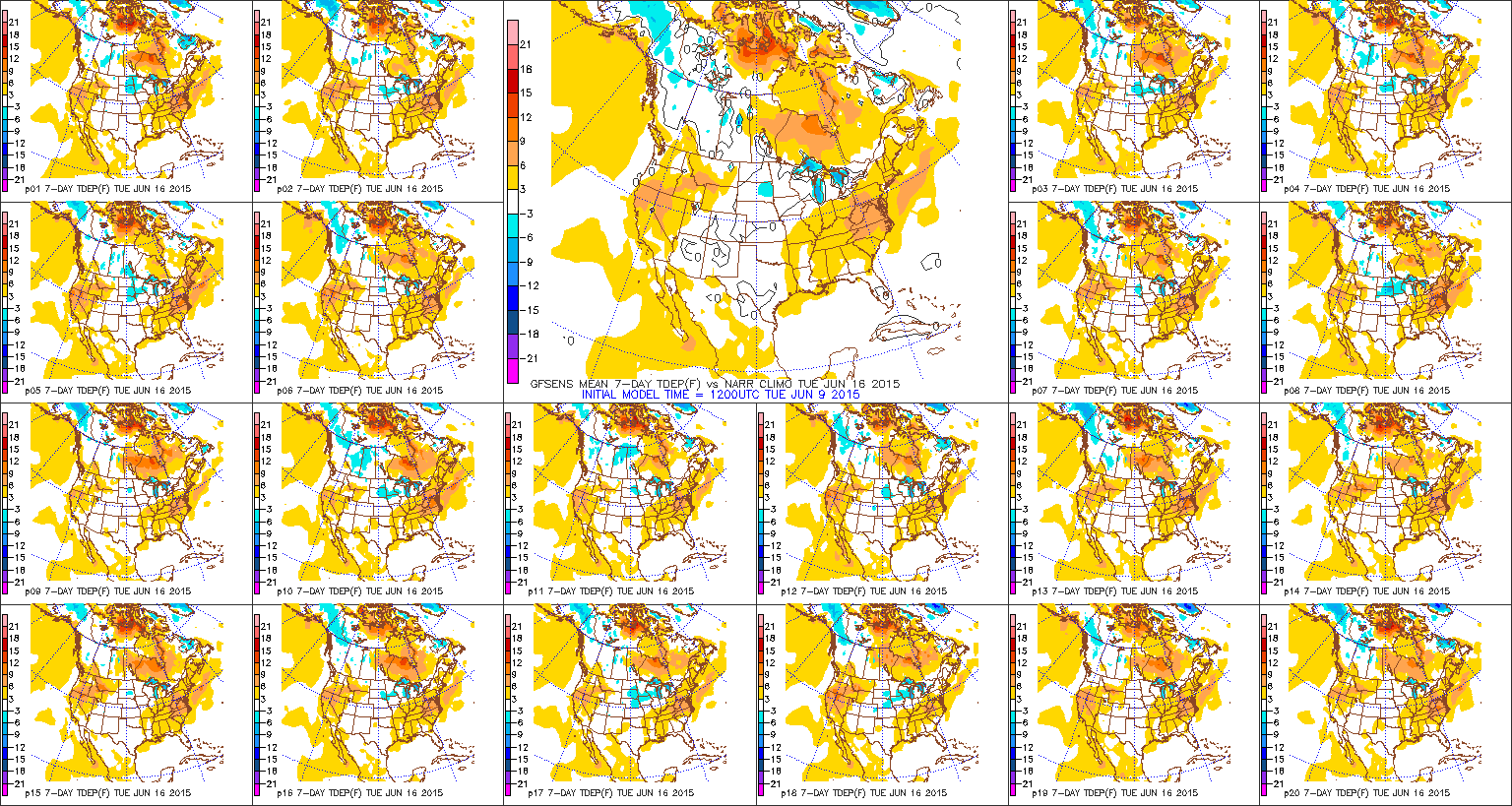
 While overnight lows have been running warm with all of the clouds and moisture, daytime highs have been significantly below average:
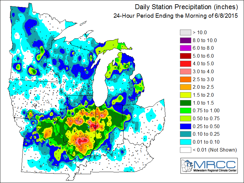
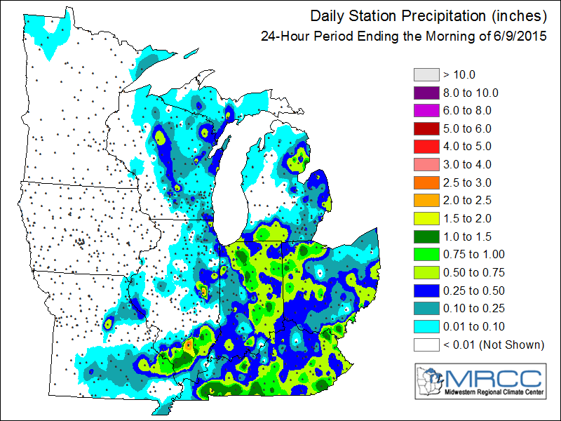
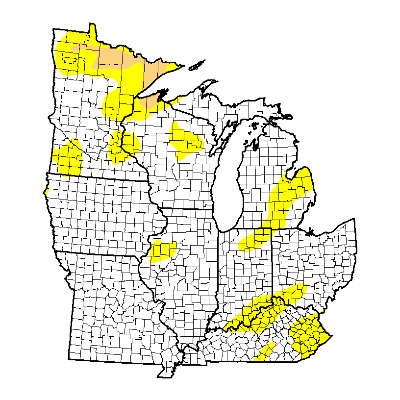
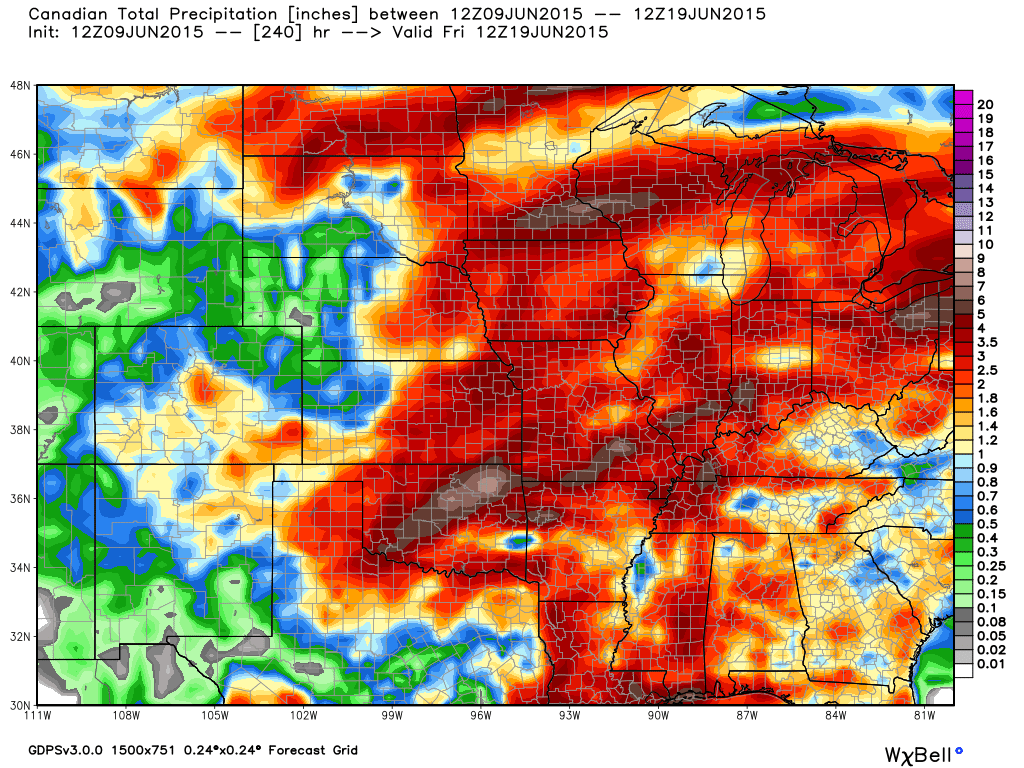
 With four days left in the month, it’s already been the wettest month on record at IND. The Corn Belt, as a whole, has been quite wet month-to-date.


 As we progress into August (where does time go) we think we continue in an active pattern, locally, biased cooler than normal and wetter than normal.
 While modeling disagrees with the specifics in regards to the timing, most mid to long range modeling does agree on the overall idea of the hot dome (ridge) backing west and setting up shop over the southwest portion of the country early August which will put our region in (you guessed it) the favorable northwest flow for active weather. Similar to July, disturbances will ride the periphery of the hot dome to our southwest and offer up plenty of chances for showers and thunderstorms. That’s not to say we’re looking at setting another record for greatest amount of rain within a month, but it is saying precipitation should be above average yet again.
From time to time the ridge will attempt to expand northeast, but we don’t think it’s potentially until the last portion of the month before the ridge has much chance to encompass our region for any staying power more than a few days. We suggest getting used to this 500mb look:
 The latest NAEFS and CFSv2 highlights the cooler than normal period we should undergo early August (especially after the 5th).

 The latest European Weeklies suggest there may be a window for a “calmer” regime after the 25th. That said, it’s a rather volatile pattern.
Yet another tool we’ve been keeping a close eye on the past few months has been the SOI (Southern Oscillation Index) as it’s been a big help in tipping us off for prolonged wet weather. Note the consistent negative SOI:


Not to sound like a broken record, but we continue to think the relentless wet weather pattern “keeps on keepin’ on” as we progress through August. It’s very interesting to note the dynamics at play between the strengthening El Nino and warm northeast PAC waters… More on that, and the implications we feel for fall and winter, in the weeks and months ahead. 🙂