Model Data Remains Consistent On A More Active Pattern Returning…
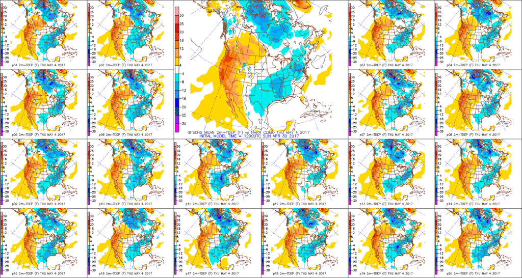
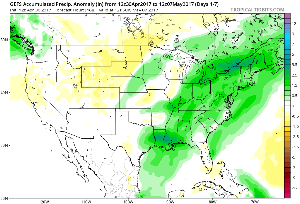
Today’s 12z model suite is in and it remains consistent on a more active weather pattern returning to the delight of many Hoosiers! A blend of the GFS and European 10-day rainfall numbers print out 2″ for Indianapolis. The GFS ensemble ‘mean’ (a blend of 21 individual members) agrees.
 Best overall coverage of showers and thunderstorms should come in (3) waves over the upcoming 10-day period:
- Wednesday into Thursday
- Saturday into Sunday
- Middle parts of the following week
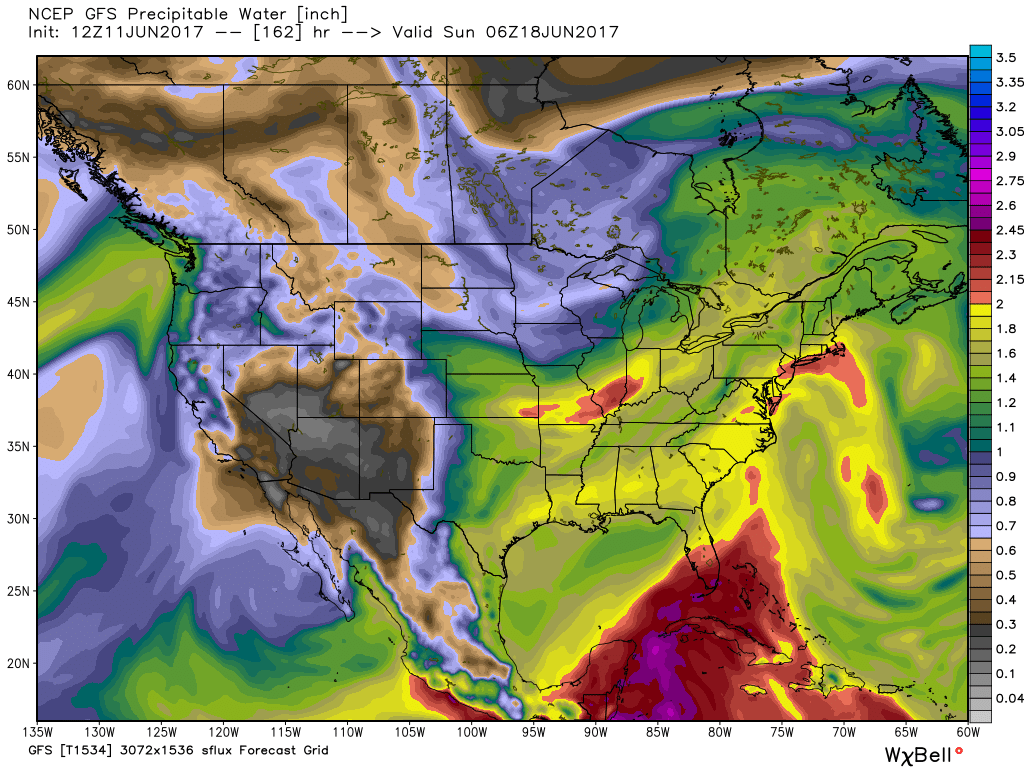
While we don’t see any sort of uniform type rains in the upcoming period, the “smattering” of storms should help most neighborhoods get in on the rainy “goods” at one time or another over the upcoming week and a half. Keep in mind, we’re in mid-June now and it’s mighty difficult to ask for anything much more than scattered storms this time of year on through late-summer…unless a tropical entity gets involved. That’s just the way this time of year is. With that said, localized torrential downpours are a very good bet from time to time, beginning as early as mid-week, as precipitable water values approach, or exceed, 2″ (about as moisture-rich as you can ask the air mass to get around these parts) into the upcoming weekend.
 As I type this outside on the back porch this evening, I hear the sounds of sprinklers in full-force through the ‘hood. Thankfully, Mother Nature will help save on the water bill later this week. Longer-term, you’ll hear us use the word “transient” many times this summer when discussing the overall weather pattern. Thankfully that tends to result in a fairly busy time of things. Before you know it, college football season will be back (83 days until my beloved Auburn Tigers kick-off), those wetter autumn storms will return, and thoughts will begin to shift to winter (they may have already started here :-))- not that we’re trying to rush summer away or anything…

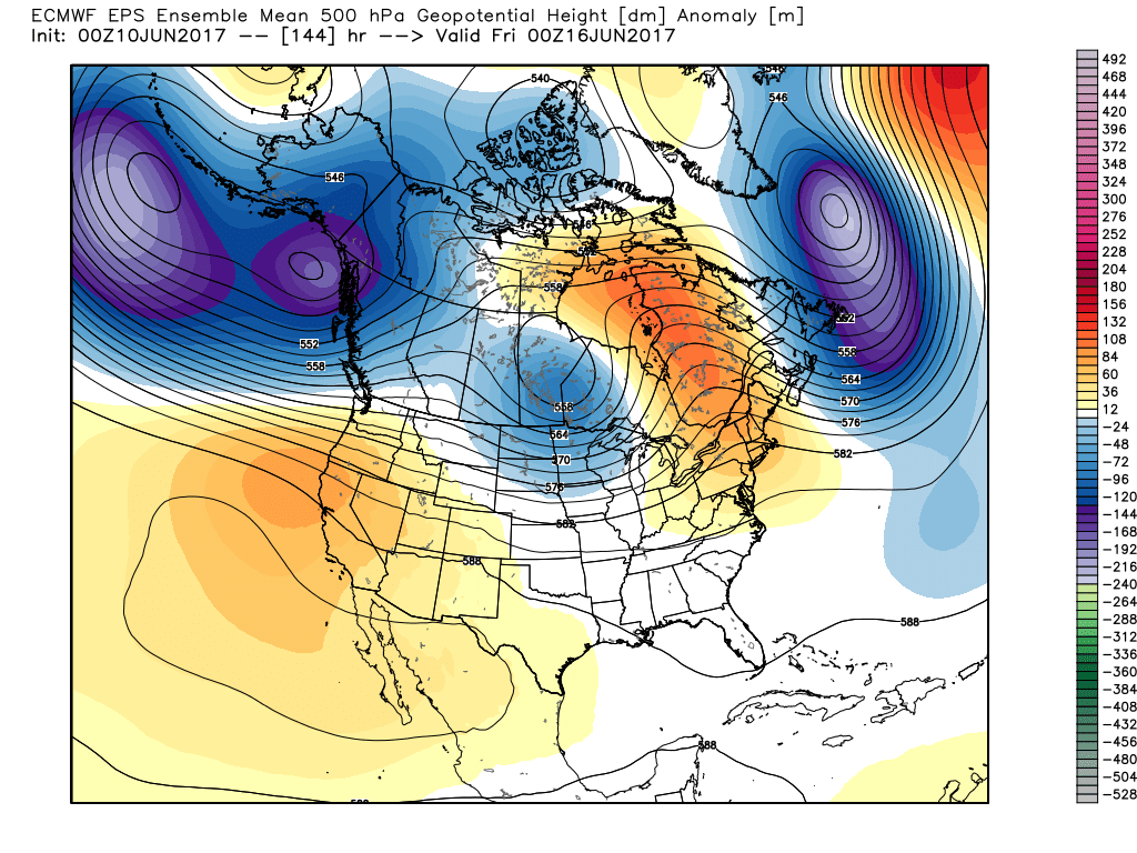
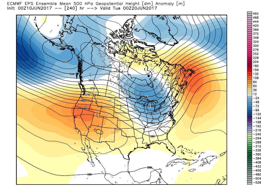
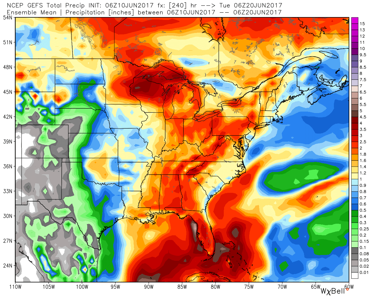
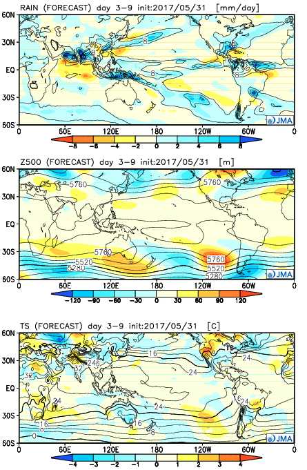 Week 2:
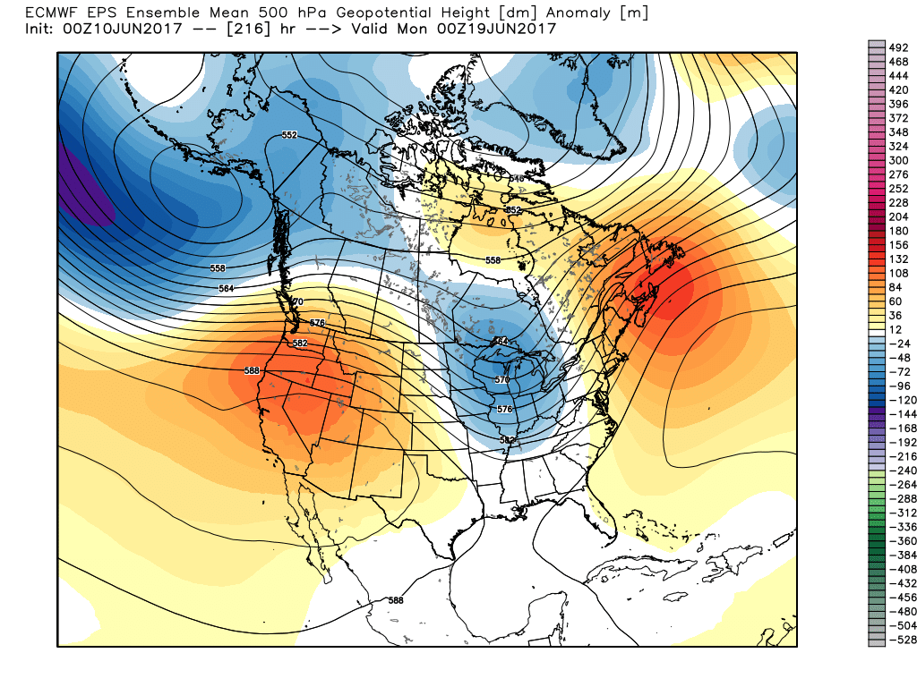
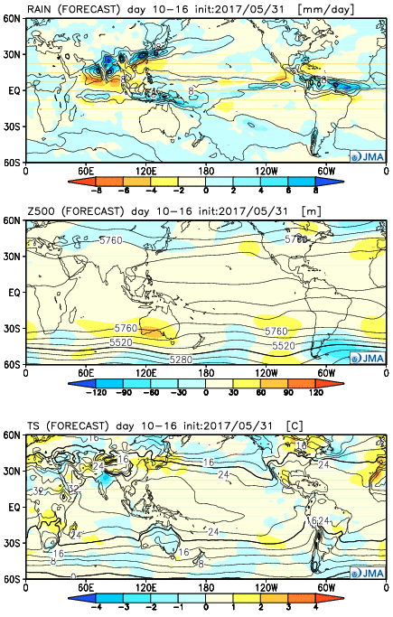 Weeks 3-4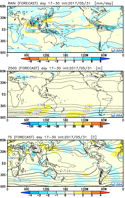

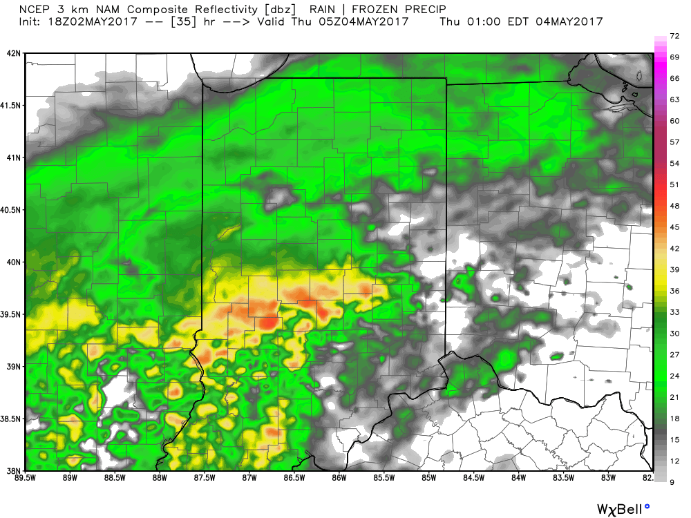
 We’ll begin to dry things out Saturday night into Sunday, but unseasonably chilly air will remain. Lows over the weekend into early next week will grow cold enough to allow patchy frost to develop in outlying communities. We think low to mid 30s will be common across the region Sunday and Monday mornings.
 The individual GFS ensemble members are truly concerning, especially given just how wet we currently are. We note some members suggest additional 3″-4″ totals- with over 50% of that coming from our midweek storm.
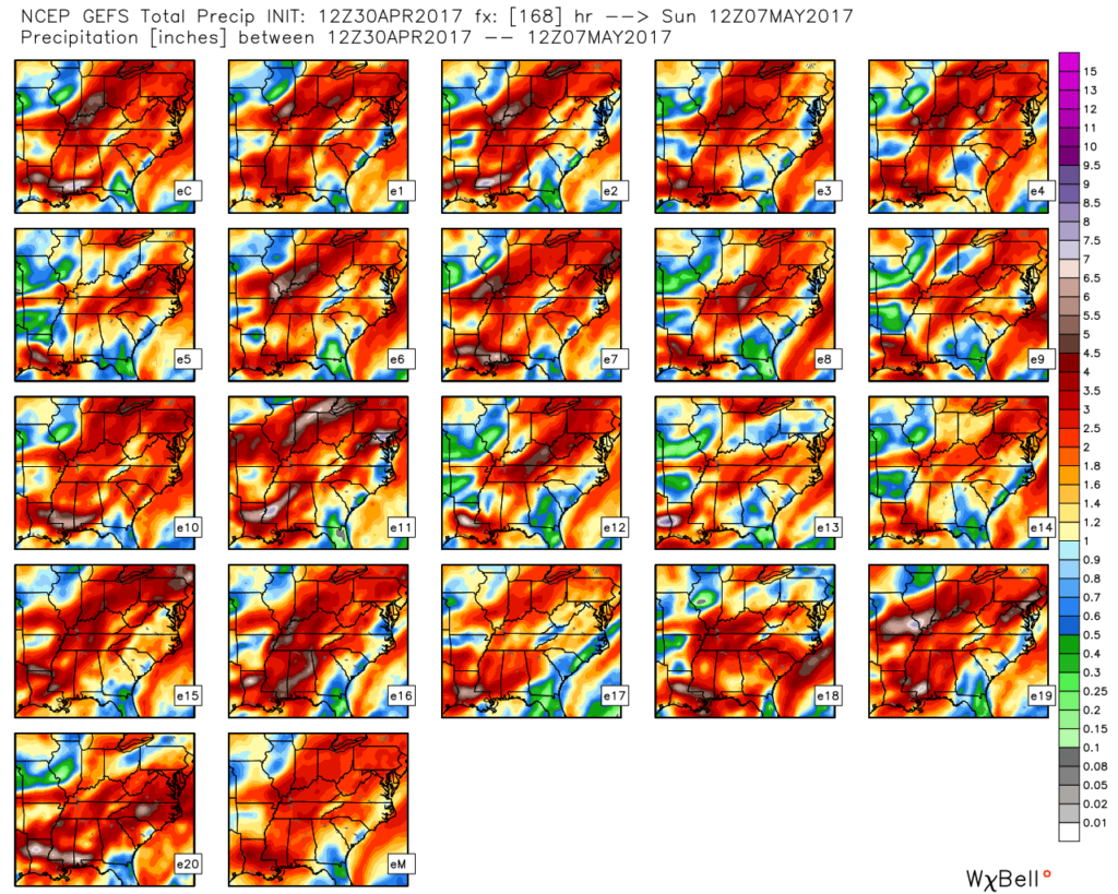 We’ll keep a close eye on model data over the next couple of days, but as of now, we suggest planning for additional hefty rain totals in the Wednesday night through Friday time frame. Also of interest will be the extreme cool associated with this storm. As previously mentioned, the majority of the day Thursday will be spent in the 40s (more like early-March than early-May). Factor in a gusty easterly breeze and we’ll have the makings for a truly “raw” weather day across the region.