2019 IndyWx.com Spring Outlook
Forecaster: Team; Date Issued: 02.16.19
Last spring was a tale of two seasons in itself. March (featured a foot of snow) and April were significantly colder than normal and then we shifted things to summer in May (the last month of meteorological spring was close to 10 degrees above normal). As a whole, it was a quiet severe weather season.
Despite the wild swings, at the end of the day, things “balanced out” nicely across the central Ohio Valley, including central Indiana.
As we look ahead to what the 2019 version holds, here are a few headlines that have our attention:
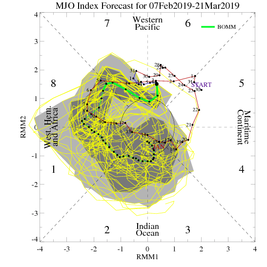
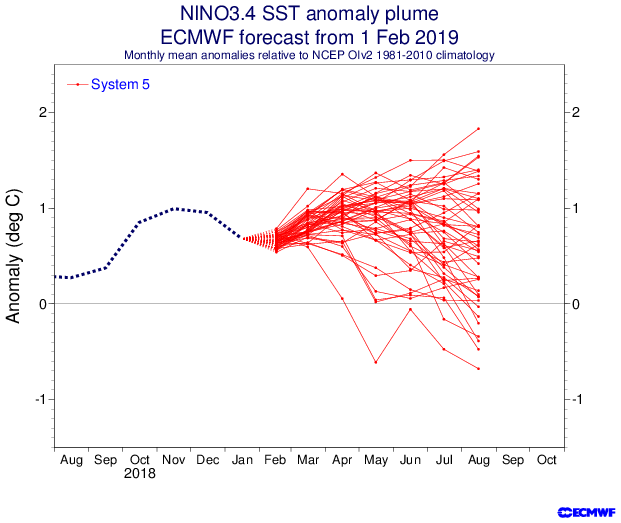
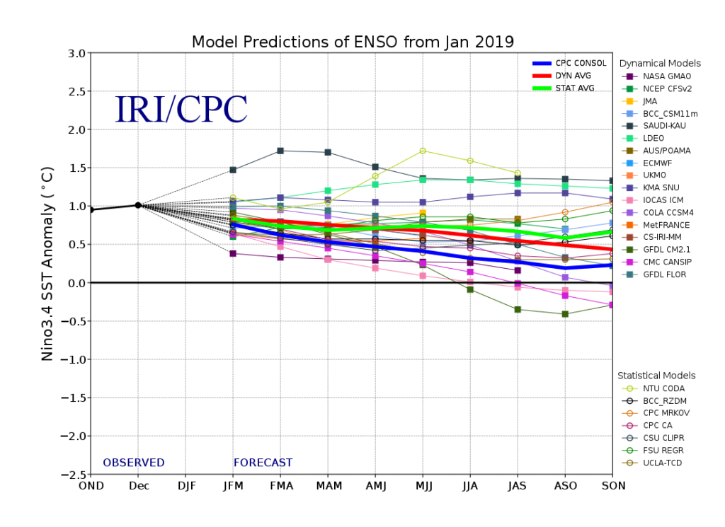
I. Weak Nino is behaving more like a Nina (Tropical Northern Hemisphere pattern can be thanked for this).
II. Neutral NAO is expected
III. Neutral PDO (Pacific Decadal Oscillation)
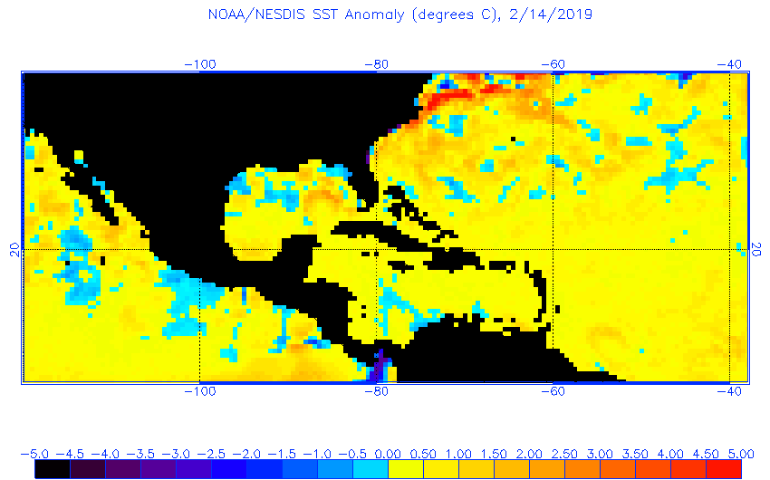
In addition, we’re paying special attention to the SST configuration in the Gulf of Mexico. A warmer than average GOM can most certainly lead to a more “hyper” severe weather season as spring gets going.
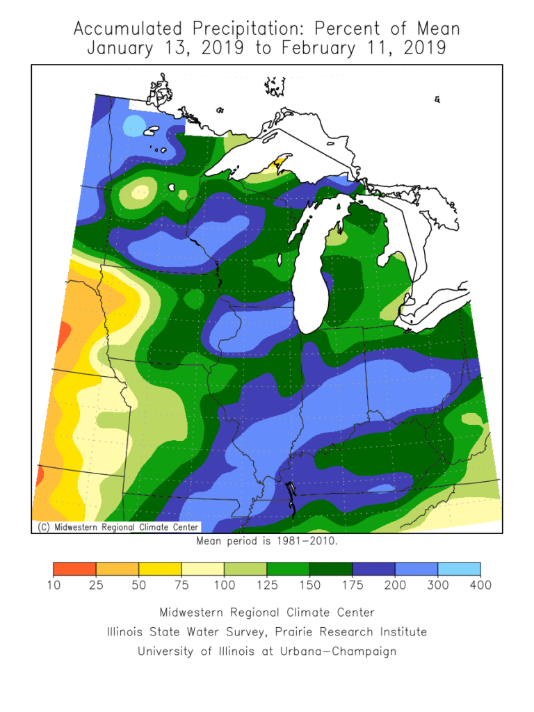
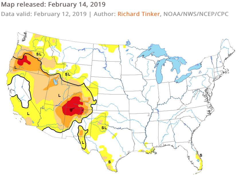
The late winter/ early spring drought monitor can give a hint where early warmth may try and get going. However, this year, we can’t rely on this tool as the Plains and East, including the heart of the #AGbelt, have seen copious amounts of moisture over the winter.

Let’s look at what the model guidance is printing out for meteorological spring:
JMA


CFSv2

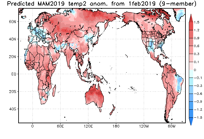
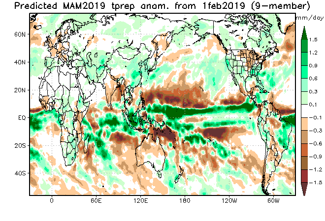
JAMSTEC
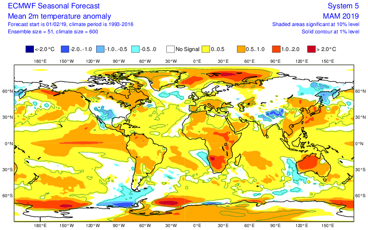
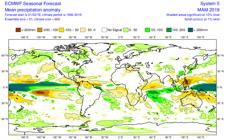
European Seasonal
Summary
We anticipate a slightly warmer than average spring season across not only central Indiana, but the Mid West and Ohio Valley region, as a whole. A weak El Nino is expected to persist into the upcoming summer and the conditions typically associated with such should eventually show themselves (as opposed to more of a Nina-like flavor now) through the spring. We agree with the consensus of model guidance above that March is likely to feature the coldest temperatures, relative to normal, and that’s primarily due to what should be a colder 1st half of the month before more bonafide spring conditions take hold the 2nd half of the month. Precipitation is anticipated to run near average, if not slightly below average, levels through the spring. As for severe weather, we expect a much busier season than last year, especially with the warm SSTs lurking in the Gulf of Mexico.