Weekly #AGwx And Severe Weather Outlook: Heat, Humidity Top Story, Locally; Henri Impacts New England…
Updated 08.22.21 @ 6:30a

Forecast Period: 08.22.21 through 08.29.21
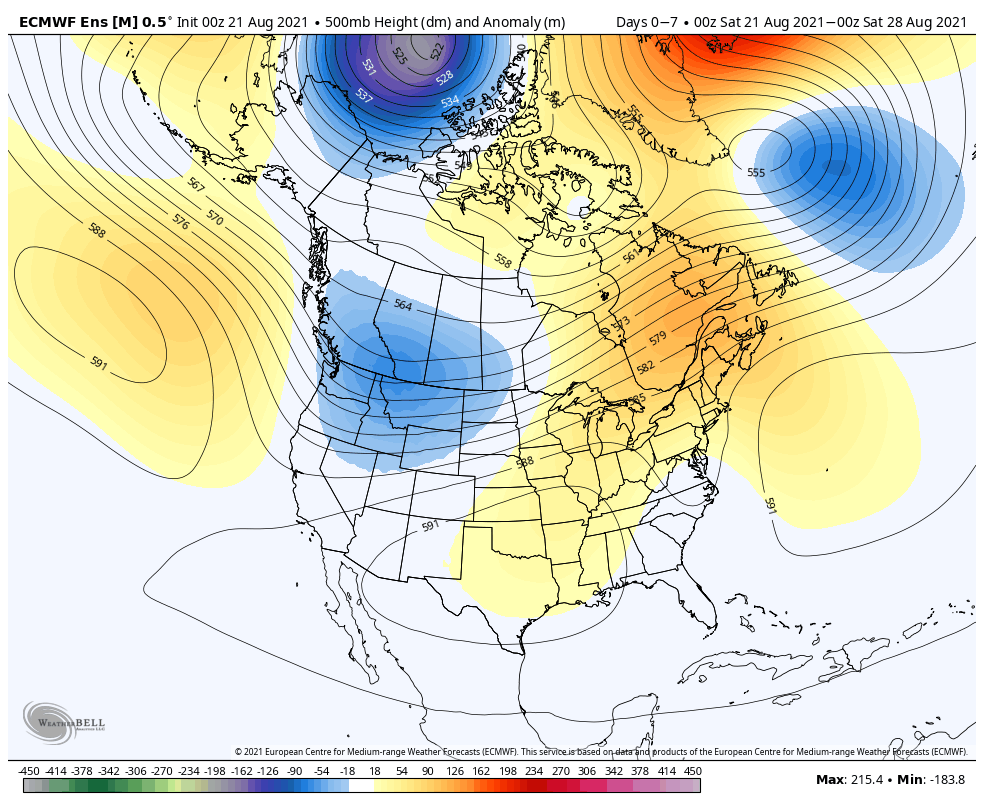
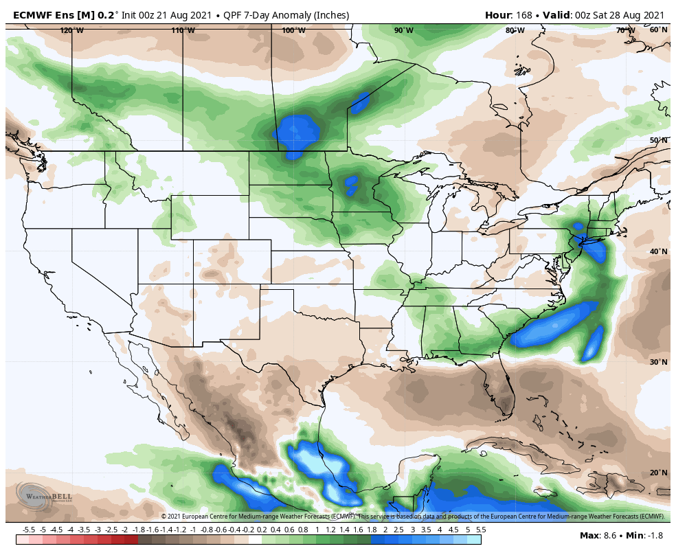
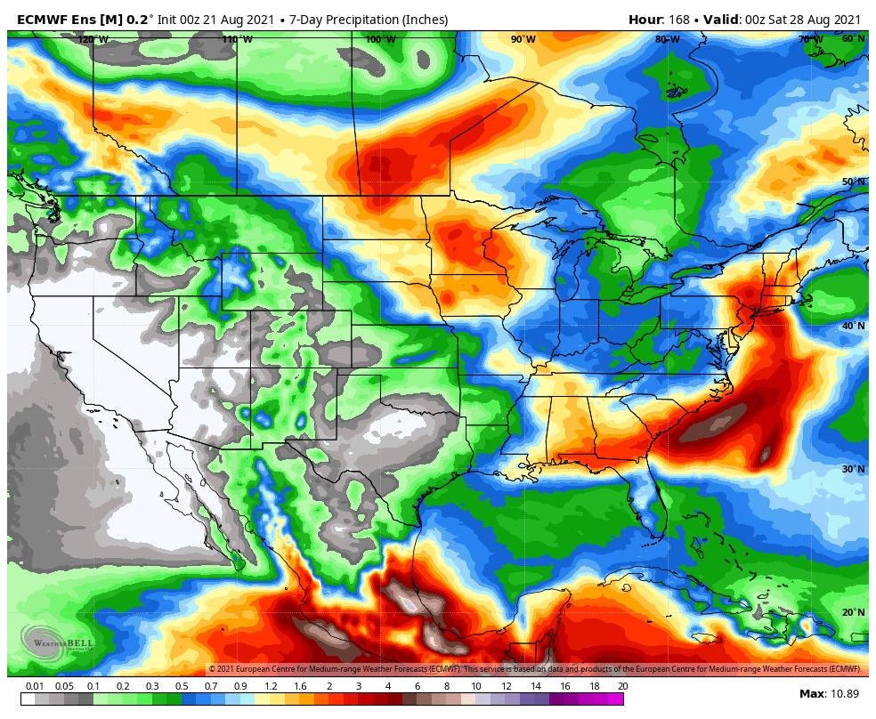
The overall weather pattern in the week ahead will feature an expanding ridge of high pressure into the Ohio Valley and lower Great Lakes. This will lead to oppressive heat and humidity expanding northeast (multiple days of highs into the lower 90s with high humidity values will make it feel closer to 100° through early and middle parts of the work week). Meanwhile, a persistent trough will continue to take up residence through the early part of the forecast period across the northern Rockies (additional early season snow will fly for the high peaks above 12k feet). The other big story during this forecast period? Henri, of course. Henri will deliver quite a blow to our friends in New England beginning later today, continuing a heavy interior rainfall threat through the early and middle part of the work week.
Back here on the home front, each and every day will feature isolated storm coverage. While “isolated” is the key word, if you find yourself under one of these storms, a quick 1″+ of rain is a good bet with the moisture content we’ll be dealing with. Somewhat better storm coverage is anticipated during the 2nd half of the work week (we’ll label it “widely scattered to scattered.” ;-)).