Milder, But Active…
 Highlights:
- Gloomy close to the weekend
- Rain-to-snow early week
- Significant storm next weekend
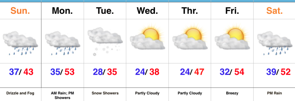
Drizzle And Fog Develops…Our Saturday opened with plentiful sunshine and milder conditions. Unfortunately, the low cloud deck invaded through the afternoon hours and will take up residence through Sunday. Fog and drizzle will develop tonight and continue through most of Sunday.
Steadier rains will arrive on the scene late Sunday night into Monday morning ahead of an approaching cold front. That cold front will sweep through the state Monday afternoon with additional showers and a dramatic wind shift. Colder air will then press into the region and as wrap around moisture swings through the state, snow showers will develop Tuesday.
As mentioned in previous posts, we’re in a transient and very active regime. Just as soon as the colder air arrives for midweek, we’ll shift our air flow around to the southwest and usher in milder times to close the week. A significant storm system is brewing next weekend. We’ll forecast increasing cloudiness Saturday with rain arriving by afternoon. We’ll have to keep tabs on next Sunday for the possibility of wintry conditions returning…
Upcoming 7-Day Precipitation Forecast:
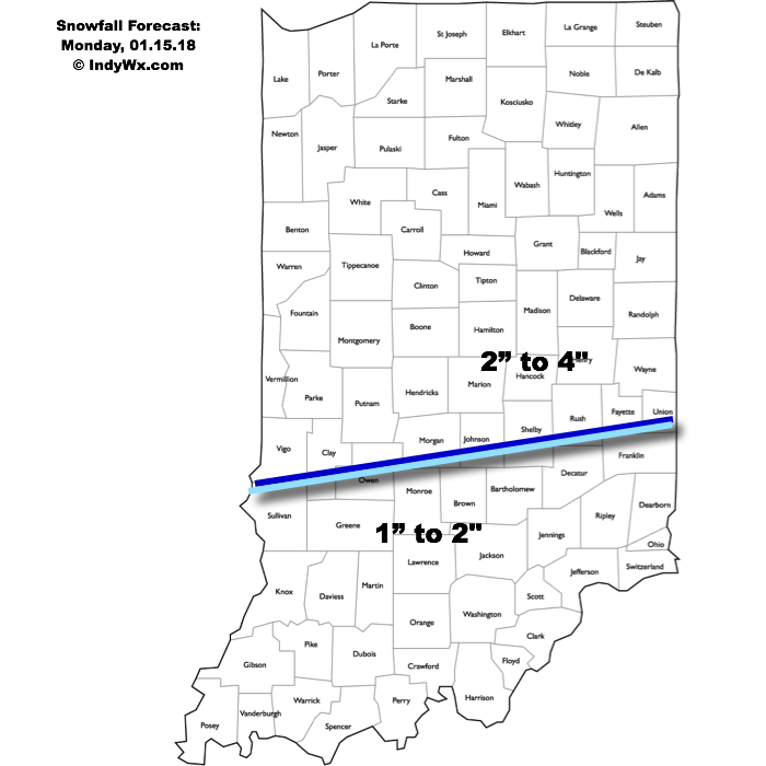
- Snowfall: Dusting
- Rainfall: 0.50″ to 1.00″
 Highlights:
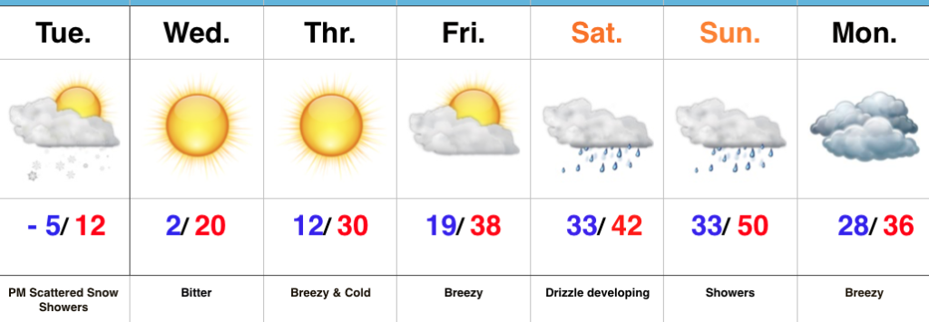 Highlights:
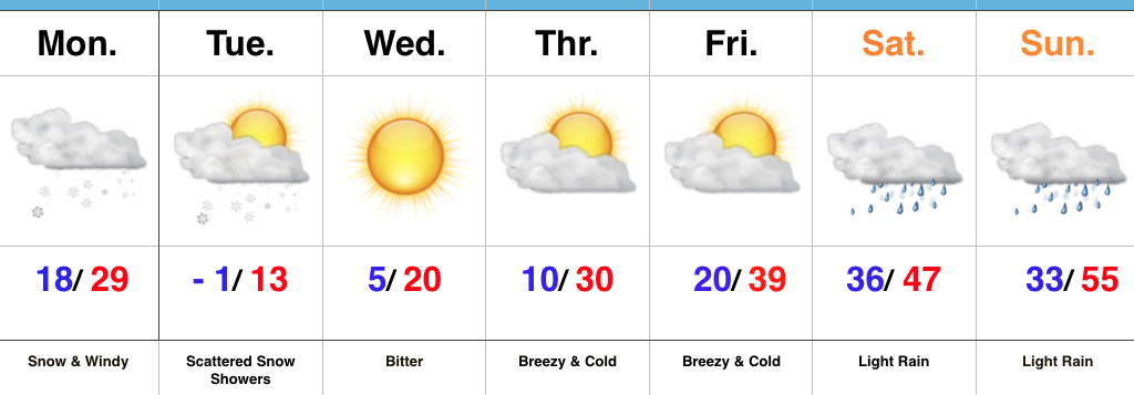 Highlights: