Sizzling Temperatures Dominate Headlines Into The Holiday…

It’s been an easy going summer so far from a heat and humidity standpoint, but that’s all about to change as we move through the upcoming week leading up to Independence Day.

An upper level ridge will dominate our pattern into the middle of next week.
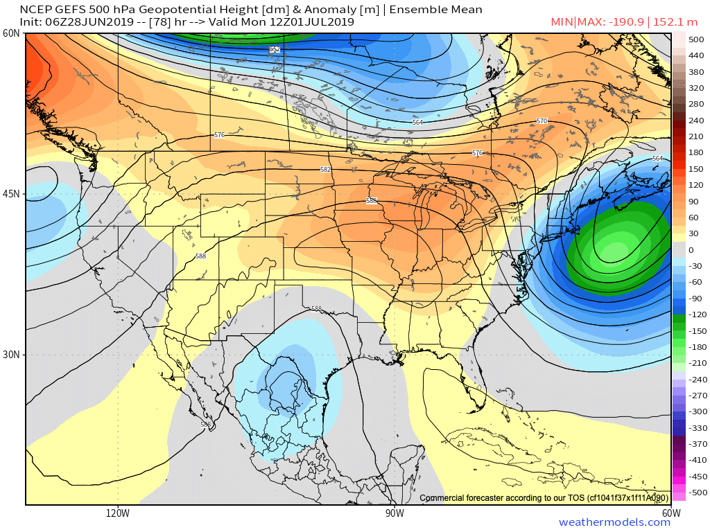
This will serve to eliminate widespread rain and thunderstorm coverage across central Indiana during the short-term. (Isolated to widely scattered coverage is all we can expect this weekend into the early part of next week). Additionally, the hottest air of the summer season thus far is on deck. We’re expecting 5 of the upcoming 7 days to feature highs around the 90 degree mark. Humidity will also build into early next week with overnight lows not falling lower than the lower 70s some mornings.
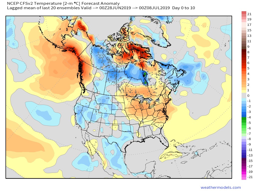
As we look ahead, the upper ridge will begin to break down by the middle of next week and with that will come increasing chances for better coverage of showers and thunderstorms.

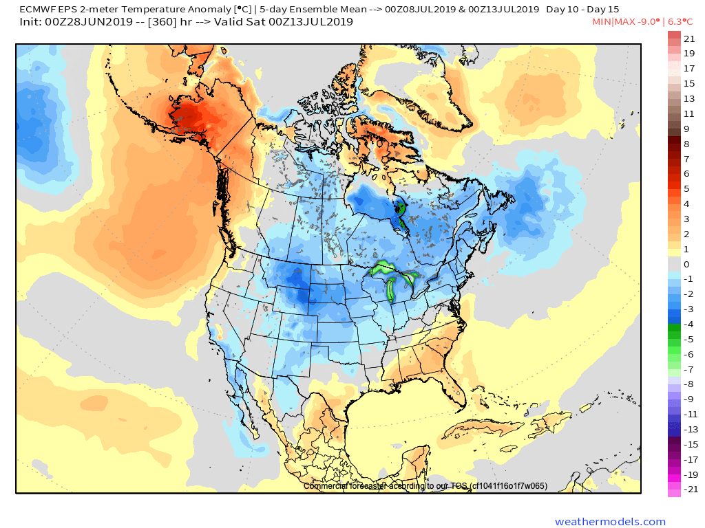
Longer term, we still anticipate the pattern to progress in a manner that will allow cooler and wetter conditions to return before mid-month. Our reasoning can be found in last night’s video update in case you missed it!
Unseasonably Cool; Talking Rain Chances Into Early Next Week…

We’re enjoying unseasonably cool and refreshing air this morning (to the tune of 10-15 degrees below average across central Indiana). The extent of the refreshingly cool air is impressive- spanning all the way into northern TX and parts of OK this morning!

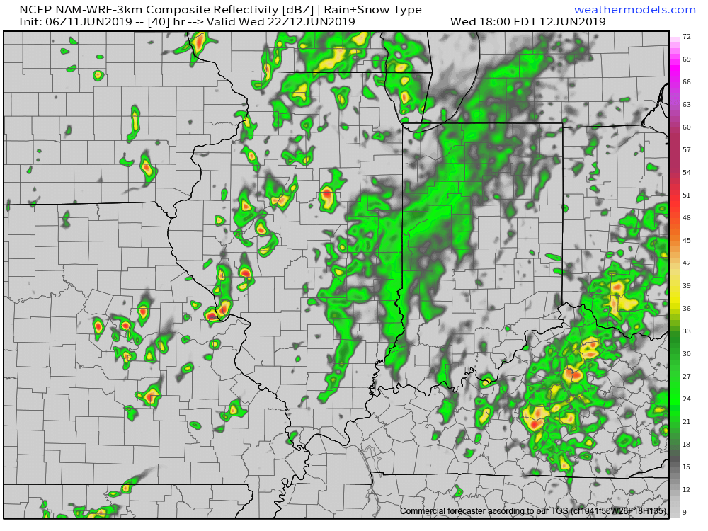
A gorgeous day is on tap with plentiful sunshine and low humidity. Unfortunately, rain still appears to return to the picture on Wednesday. Scattered showers will be most numerous Wednesday afternoon, continuing into Thursday morning. Rainfall should average between 0.10″ to 0.25″ for most central Indiana rain gauges with a few heavier totals across eastern areas.

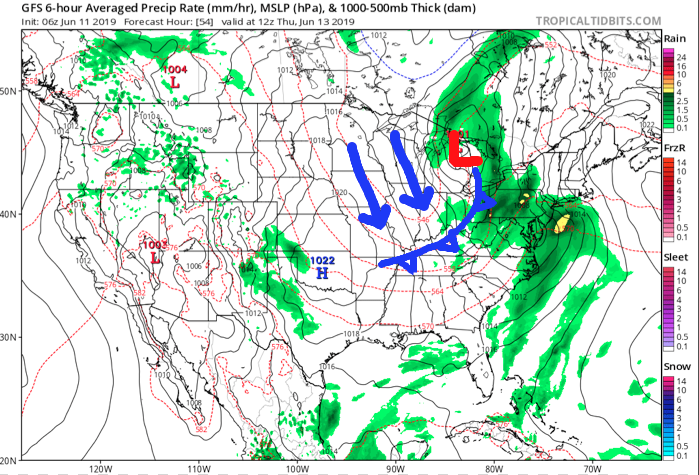
The cold front and upper level energy associated for delivering the Wednesday rain will swing through here early Thursday, resulting in a gusty northwesterly wind and fall-like air through the day. Highs will only top out in the mid-upper 60s and lows Friday morning will fall into the upper 40s.

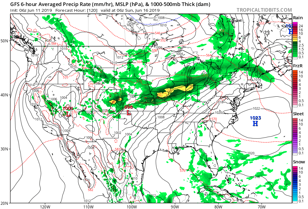
High pressure will remain in control of our weather to close the work week, but as we’ve grown all too accustomed to over the past couple of months, we don’t expect prolonged dry time. Instead, our weather will turn unsettled yet again over the weekend into early next week. With a moist southwesterly air flow returning, periods of locally heavy rain can be expected in this setup.