Quiet Weather Continues; Busier Days Ahead Next Week…
Another day of sunshine is on deck with temperatures approaching the 50° mark for many central Indiana communities. Not bad at all by early December standards, huh?

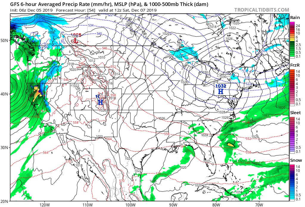
Clouds will increase tonight and remain with us through the end of the work week. These clouds are associated with a system that will scoot by well to our south. Some light rain will likely impact areas south of Indianapolis Friday morning into the early afternoon, but central Indiana should remain precipitation-free.

High pressure will dominate our weekend weather, continuing to lead to quiet conditions along with a return of sunshine.
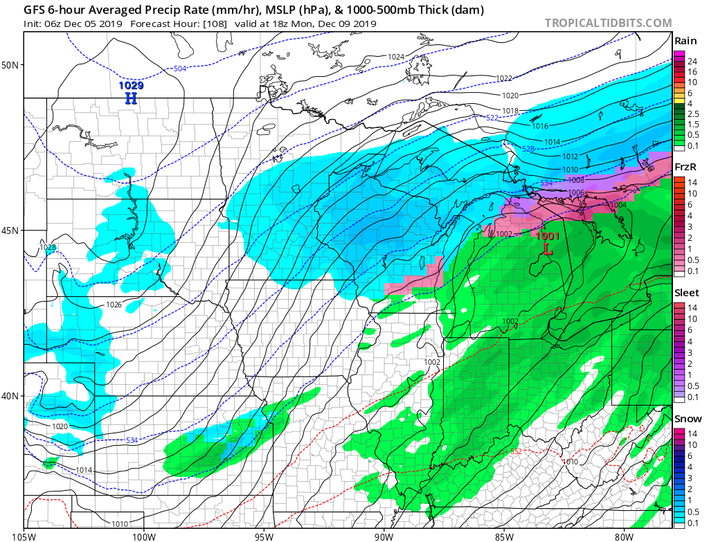
The next round of more widespread precipitation will push into the state Sunday night into Monday. Even this isn’t anticipated to be significant with most central Indiana reporting sites receiving rainfall amounts of half an inch or less by Monday evening.
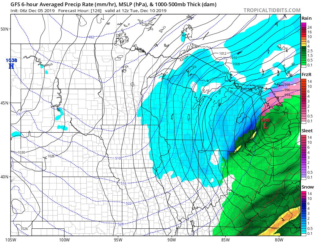
As the surface wave pulls up to the northeast, MUCH colder air will whip into the region Tuesday. Light snow will develop as the moisture departs, but we’re still not expecting this to be a big deal in the snow department (dusting to less than 1″ type event as of now).
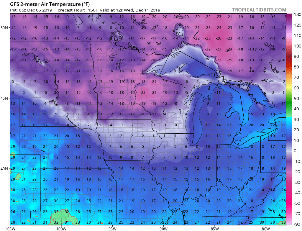
However, the cold is another story. Wednesday morning will feature lows in the lower to middle teens with single digit wind chill values. In the it could “always be worse” department, check out those temperatures our friends across the upper Mid West and northern Plains will have to deal with…
Much more later!