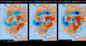
12.23.16 Ensemble Discussion On The 6-10 Day…
*A fresh 7-day will be updated late tonight or early Christmas Eve.*
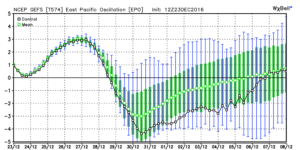
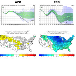
Modeling continues to suggest a colder return looms as we close out 2016 and open 2017. We’ve discussed the implications of a negative EPO and it certainly appears as if, at least initially, the negative EPO will do the “dirty work” to drive a colder regime in the 6-10 day period.
 We note ensemble data is suggesting high latitude blocking tries to develop towards Day 10. Recall this was the missing ingredient in the bitterly cold blasts of air that occurred during the first few weeks of December. Both the GEFS and EPS agree on the increasingly blocky look to the pattern by Day 10. This would help drive a cold, stormy pattern by early January. Instead of storms cutting, we would see more suppression. With a “stubborn” southeast ridge, things could get interesting across the Ohio Valley from a wintry perspective….
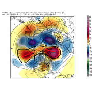
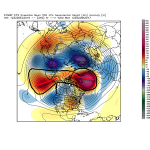 We don’t want to jump the gun, but it the positives can “hook up” over the pole, we stand the chance of locking into a rather lengthy cold, snowy regime as we rumble deeper into the heart of winter.
Given the look, it’s no surprise we see the 12z teleconnections want to continue the trend of a negative look to the NAO and AO in the medium to longer term.
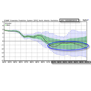
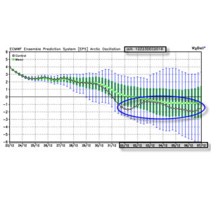 Summary: A rather mild regime remains as we rumble through Christmas before trending more seasonable next week. From a wintry perspective we need to continue to keep an eye on the period around New Year’s Eve/ Day. Confidence continues to increase on the potential of a return of arctic air come early January.
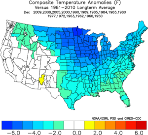
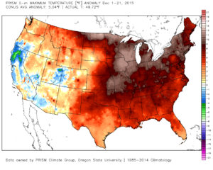
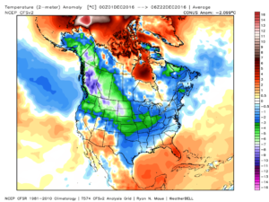 This is, of course, is in stark contrast to December 2015.
 As we move forward, an active pattern awaits between now and the end of the year. This comes after a few days to catch our breath, including moderating temperatures leading up to Christmas.
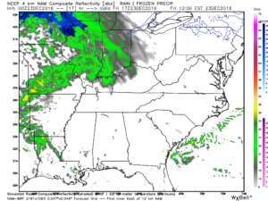 Christmas Eve will feature overcast skies with areas of fog and drizzle, but the majority of the concentrated rain should fall south of the region. Santa’s ride into central IN should be uneventful, weather-wise.
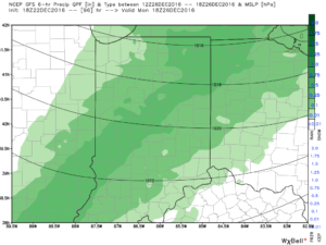 Temperatures will fall through the day Monday and we should run much closer to seasonable temperatures next week. A couple of additional storm systems will have to be monitored for rain and snow prospects the middle of next week and again around New Year’s Eve/ Day. Initially, we’ll be rather mild, but there may be more in the way of cold air readily available to make the storm system around New Years “more interesting” from a wintry perspective.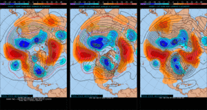
 Tuesday will remain rain-free across the region, along with pleasant temperatures and humidity levels (mid 70s after a low in the lower 50s).
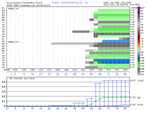
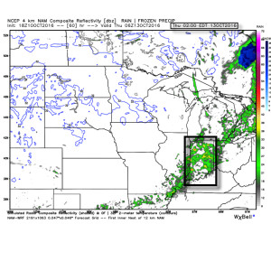 Rainfall amounts don’t look particularly impressive; generally 0.10″-0.25″ during the Wednesday night-Thursday morning time frame.
 The cool air flowing in behind the front is impressive though. In fact, highs both Thursday and Friday will likely only reach the lower 60s (if that).
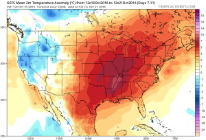
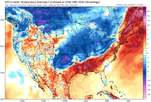 Despite the chilly air that will be with us to wrap up the work week, ensemble data is in excellent agreement on a significant warmer than average regime developing under a big eastern ridge in the 6-10 day. This will likely promote highs into the lower 80s next week for a few days. Impressive, no doubt, considering we’ll be rumbling through the second half of October by that point.