VIDEO: Tuesday Clipper Followed By An Extended Stretch Of Quiet Conditions…

Updated 01.29.24 @ 5:59a We’ll close January and open February with an extended stretch of unseasonably quiet (and mild) conditions. The only exception? A weak clipper that will offer up…

You must be logged in to view this content. Click Here to become a member of IndyWX.com for full access.  Already a member of IndyWx.com All-Access?  Log-in here.

VIDEO: Short And Long Term Ideas- Any Thoughts Of Winter’s Demise Premature In Our Opinion…

Updated 01.22.24 @ 6:23p

You must be logged in to view this content. Click Here to become a member of IndyWX.com for full access.  Already a member of IndyWx.com All-Access?  Log-in here.

Prolonged Period Of Bitterness, But A Change Is On The Horizon…

Updated 01.12.24 @ 12:18p

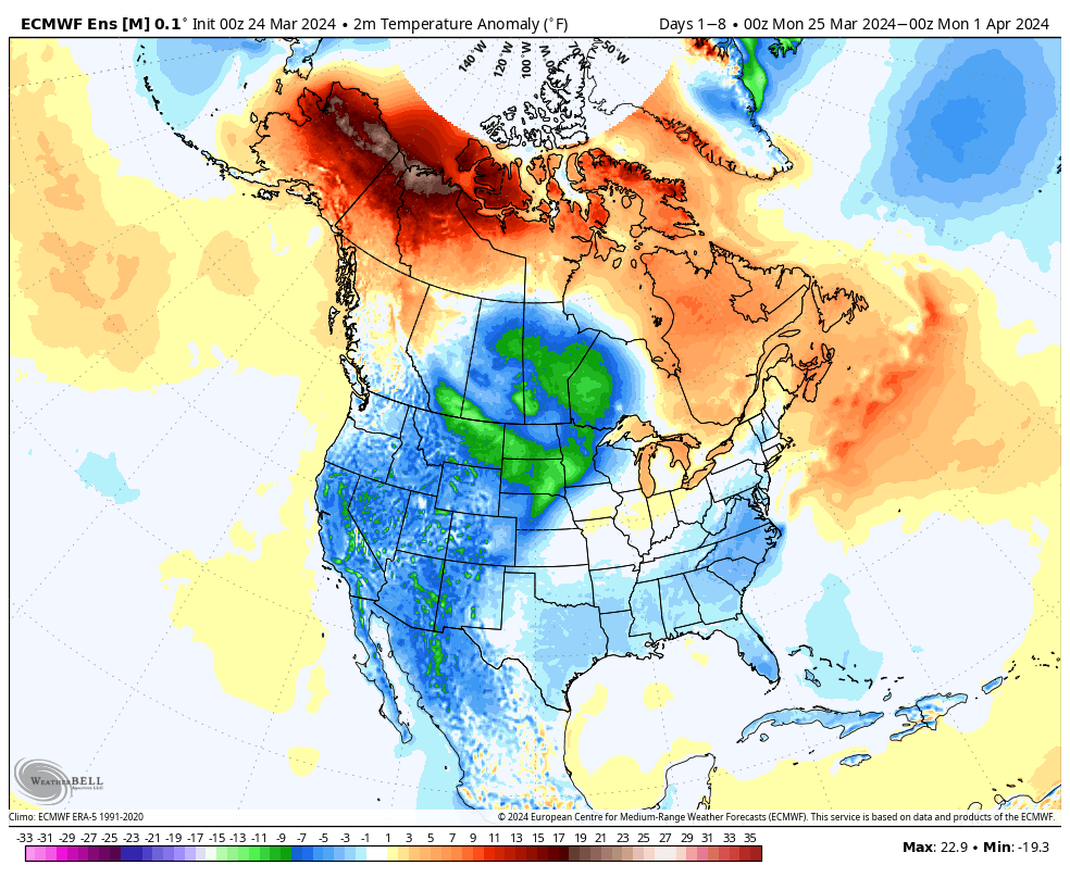
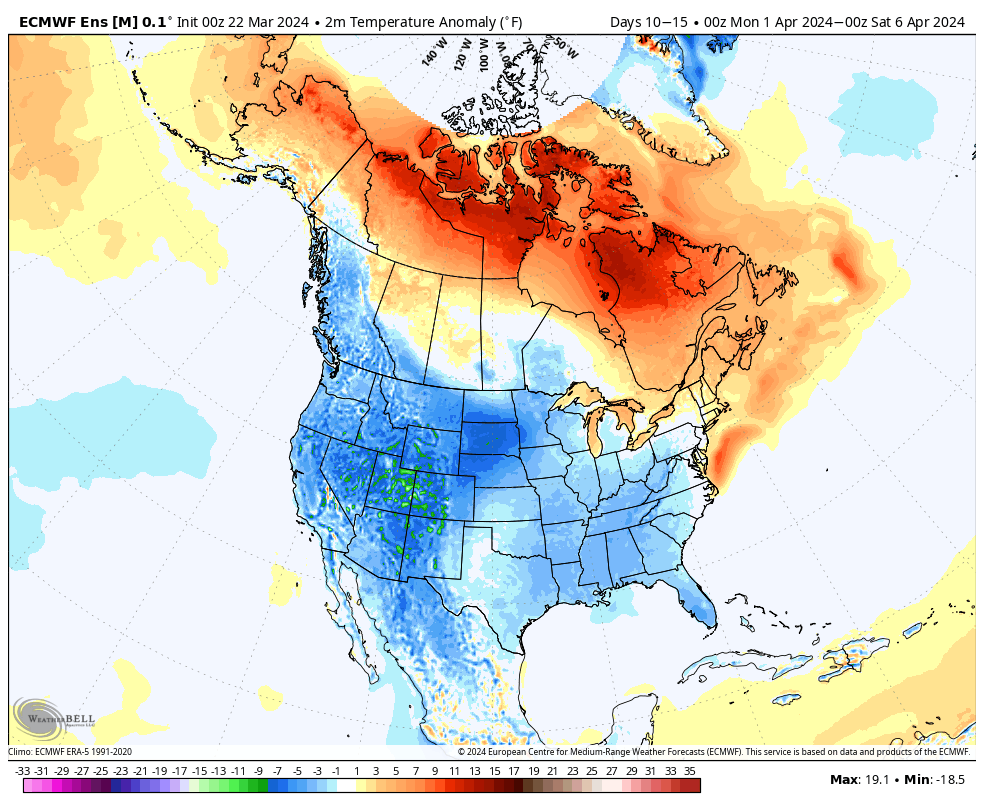
The upcoming 10-days is a case of cold and if you believe some of the guidance, even colder (next weekend). Multiple nights below zero and dangerous wind chill values of 20° to 30° below zero are on tap at times during this period. You know that we’re interested to see if we meet our respective targets. It’s not just the magnitude of the cold, but the duration and widespread nature, as shown over the upcoming 10-day temperature anomalies from last night’s European ensemble.

But milder changes are on the horizon as we rumble through the warmer phases (at least this time of year) of the MJO and see some temporary trends within our teleconnection suite (AO, NAO, EPO, and PNA) that favor a period of much less harsh, and even milder than normal conditions developing by the last week of the month.

After our frigid stretch, temperatures even only a few degrees above normal will feel like a heatwave.

The hunch here is that we return to another cold stretch as we rumble into February. Long range guidance shows “part 2” of our high latitude blocking event and the thought here is this is a byproduct of a combination of sea surface temperature (SST) configuration in the northwest ATL, the current state of our Nino, as well as the SST configuration in the central/ northern PAC. At any rate, the alignment between teleconnections and, of course, the MJO rolling into the colder phases supports this idea. Let us worry about that and you enjoy the late month “mild-up!” Heavens knows after these next couple weeks, you will have earned it!

We’ll continue to keep tabs on the threat of snow over the next couple weeks. Things can, obviously, change but as of now I’m not seeing any hefty snow threats for central Indiana. The one feature that does potentially require watching is out there towards the end of next week, but the overall fast paced flow should prevent this from deepening into anything overly significant. At least that’s the way we see it now.

We’ll continue to keep close tabs on short-term trends but feel good with what we have out there concerning rain/ snow amounts, timing of the transition, and damaging wind potential.

VIDEO: Multiple Impactful Storms Into Mid Month; Discussing Overnight Ensemble Trends…

Updated 01.04.24 @ 6:46a Enjoy the last couple of quiet days while you have them. Skies will slowly brighten later today, but otherwise anticipate mostly cloudy and seasonably cold conditions.…

You must be logged in to view this content. Click Here to become a member of IndyWX.com for full access.  Already a member of IndyWx.com All-Access?  Log-in here.

Dinnertime Rambles…

Updated 01.03.24 @ 5:21p

Today’s 12z guidance continues to reflect quite an active and stormy period of weather kicking off this weekend, continuing through mid-January. This is a byproduct of all of the high latitude blocking that develops over the span of the next 6-10 days.

The negative PNA is putting a real wrench in any one of these “meaningful” area of low pressure systems, Saturday’s excluded, from being totally on the wintry side. Look for above normal precipitation over the upcoming 6-10 days with plenty of mixing events going on.

Speaking of that, we don’t have any changes to our thoughts on the first two systems:

Saturday- light snow should overspread the region through the morning hours with light accumulation, primarily on grassy and elevated surfaces. We’ll firm up snow numbers over the next 24 hours. Note, additional light snow, potentially mixed with light rain, should fall Saturday night into Sunday as upper level energy scoots across the state.

Monday night/ Tuesday- after a calm open to the work week, clouds will increase Monday PM and give way to a wintry mix of rain, sleet, and snow across the state Monday night into Tuesday morning. As warm air advection kicks into high gear, the wintry mix will transition to a cold rain for central and southern IN. Further north, it’s a tougher call with mixing issues hanging on longer. Heavy precipitation and strong/ gusty winds can be expected Tuesday. We all turn colder Tuesday night with rain transitioning back to wind-whipped snow/ snow showers that will continue Wednesday with additional light accumulation expected.

Wednesday night/ Friday- another potential significant area of low pressure will impact the region during this particular time period with additional heavy precipitation (likely another mixed bag event) and strong winds.

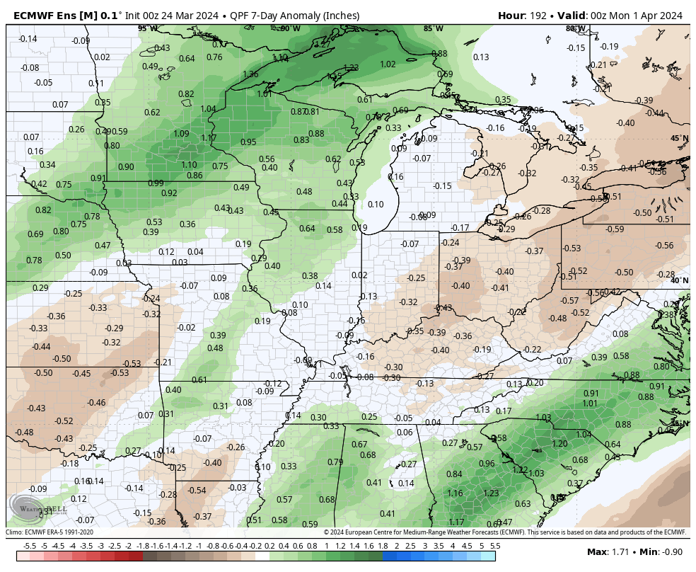
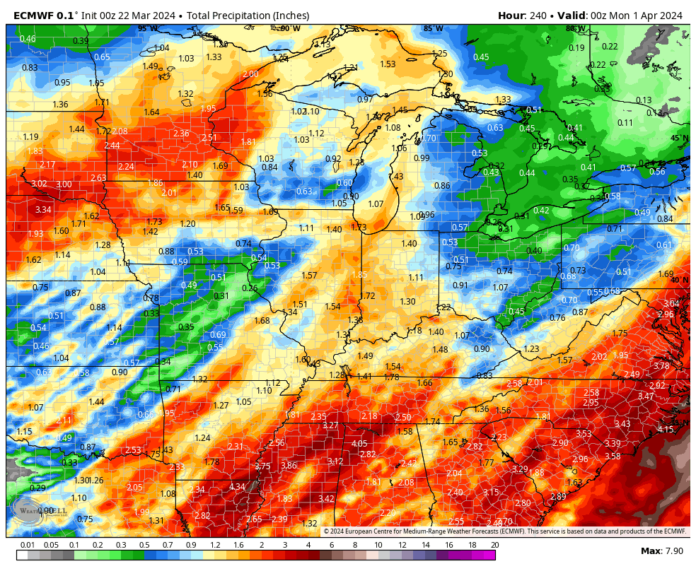
Well above normal precipitation is expected across a large chunk of the East over the upcoming 10 days.

The initial dump of bitterly cold, arctic, air will target the West through the 6-10 day period before making an attempt to bleed east (likely in modified fashion) during this period. Per our longer range discussions, the MJO will have the primary say in our late January pattern and we’ll have fresh long range thoughts posted prior to week’s end.

Make it a great evening!