Unsettled And Mild…
 Highlights:
- Crossing our fingers for a few looks at the sun
- Windy, rainy conditions return
- Spring-like weekend ahead
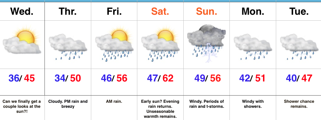
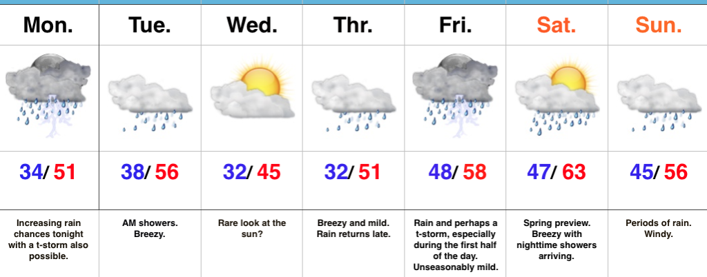
Hang On To The Rain Gear…We’re in the midst of a downright gloomy stretch of weather and, unfortunately, the overall trend remains locked in to a dreary regime. That said, there will be an opportunity for at least a few looks at the sun Wednesday as we’ll be in between storm systems. Our fingers are crossed!
Any sun will quickly fade and give way to increasing clouds Thursday and blustery, rainy conditions by the afternoon. Rain will likely grow heavy at times Thursday night into early Friday morning before another stretch of briefly drier conditions build in Friday PM through early Saturday.
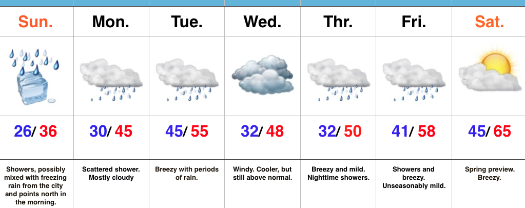
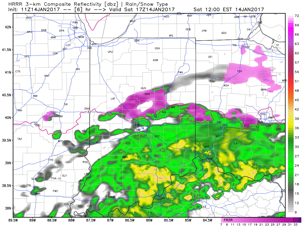
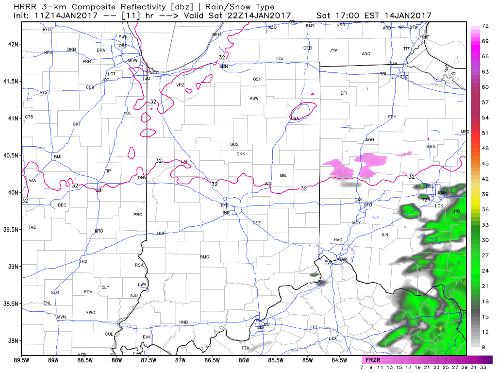
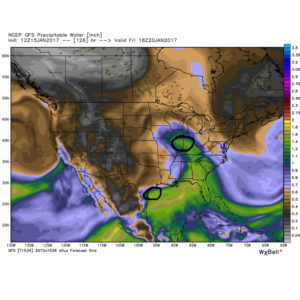
Our active pattern remains this weekend, as a wound-up storm system promises a wet, windy, and stormy close to the weekend. Similar to our late week storm, additional heavy rain seems likely, as a gulf connection will be in place. Though heavy rain will take the headlines, the “spring fling” is also noteworthy. Highs this time of year normally are in the middle 30s. For some through central IN, highs will approach a whopping 30 degrees above normal.
Upper level energy remains early next week with pesky showers continuing, along with breezy conditions.
Upcoming 7-Day Precipitation Forecast:
- Snowfall: 0.00″
- Rainfall: 1.50″-2.00″ (locally heavier totals)
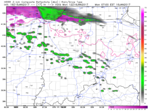
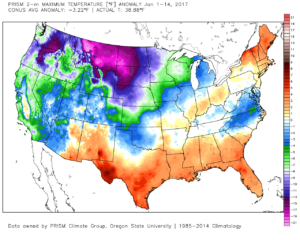 2.) Showers will creep north overnight into Monday morning, but shouldn’t amount to much. They will be scattered in nature across central Indiana.
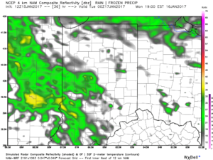
 3.) More widespread rain and embedded thunder will develop Monday night into Tuesday morning. This should amount of widespread half inch to one inch totals across the viewing area.
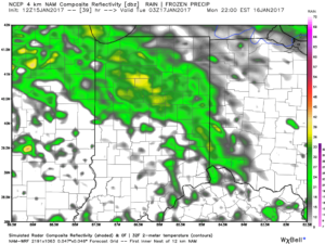 4.) A moist southwest flow will help push a warmer regime northward for the second half of the week. Though warm, we’ll also have to deal with periods of rain as disturbances track northeast. We circle Friday and Sunday as the wettest days and remain optimistic Saturday will feature dry and unseasonably warm conditions (lower-middle 60s). Between the rainy days Friday and Sunday, additional rainfall totals of 1″-2″ seem like a good bet.
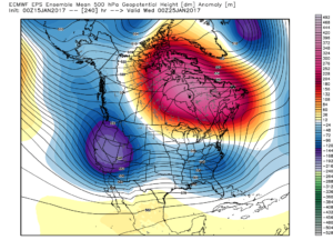
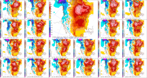 5.) The evolution of the pattern just beyond the 7-day period we’ll begin to take on an increasingly wintry look and we remain confident on a flip back to wintry conditions as we roll through the last week of the month. We’ll have to keep a close eye on a storm system in the 8-10 day period. It’s obviously way too early to discuss specifics, but this will be the time the pattern is beginning to turn back towards a wintry regime…