Winter Returns…
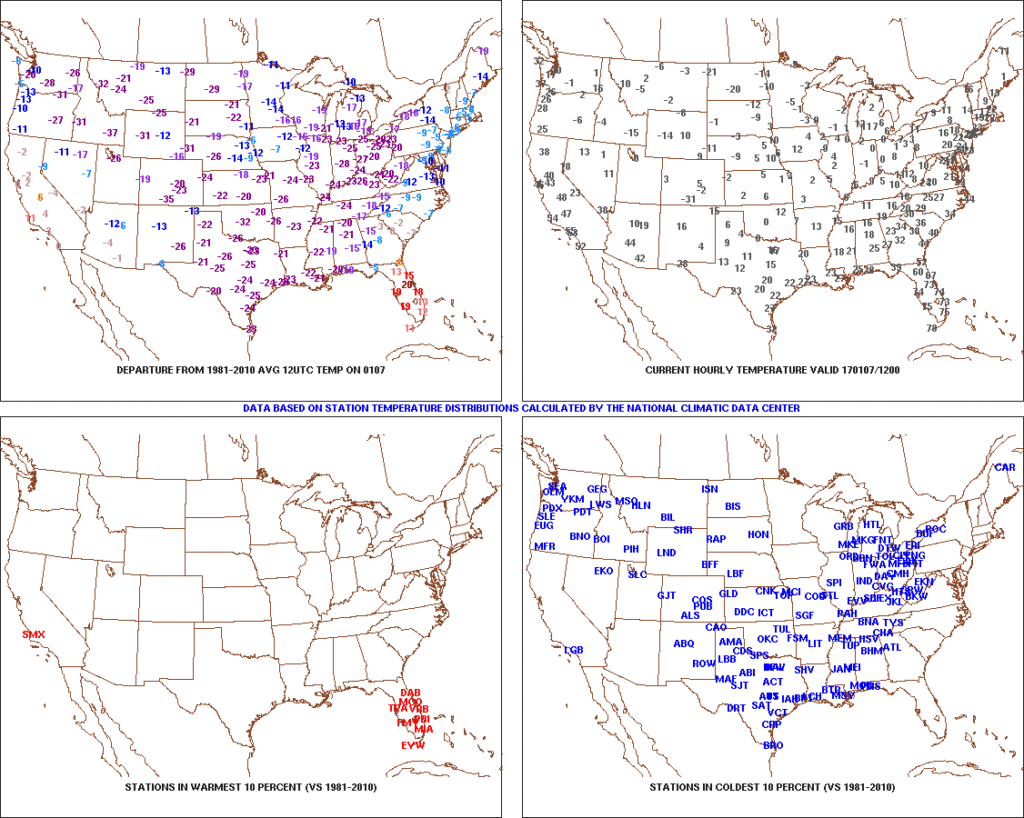
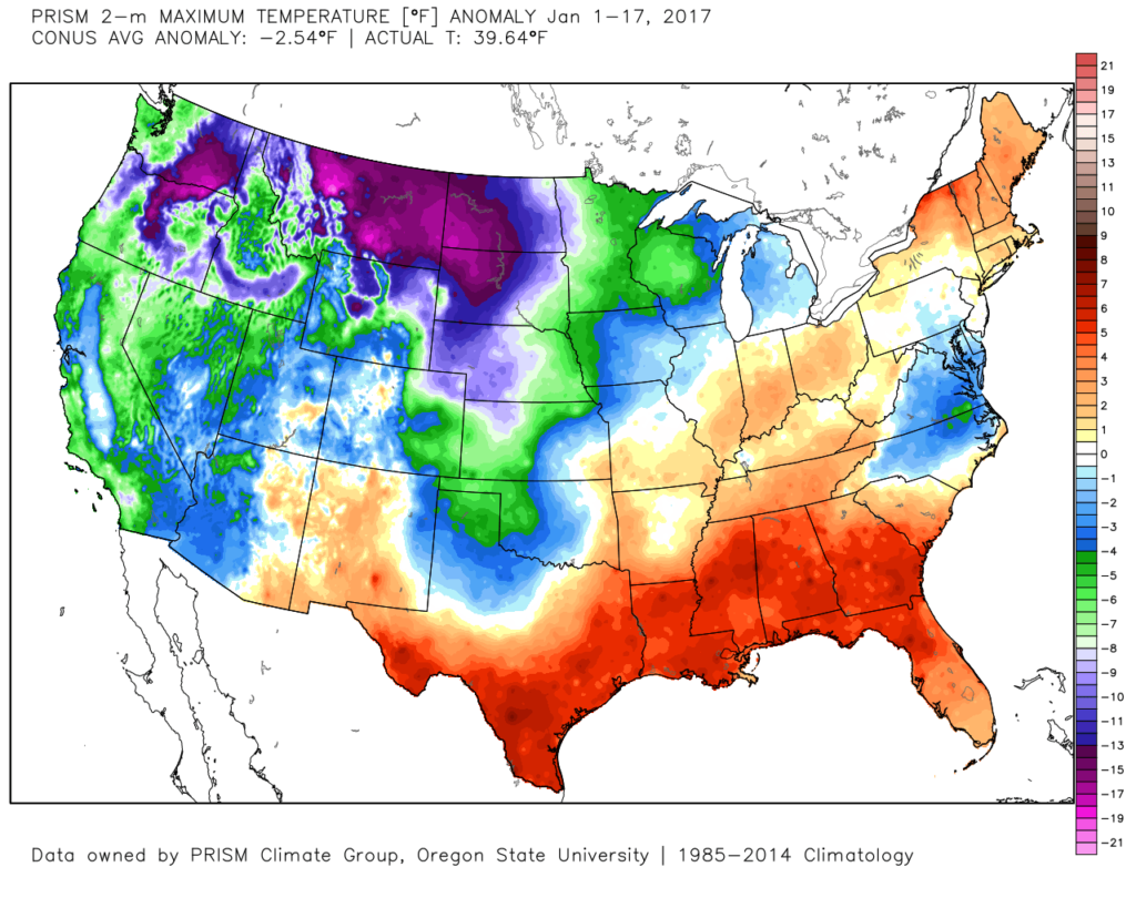
January got off to a frigid start. Remember this coast-to-coast cold, including sub-zero temperatures across central IN, during the first week of the month?
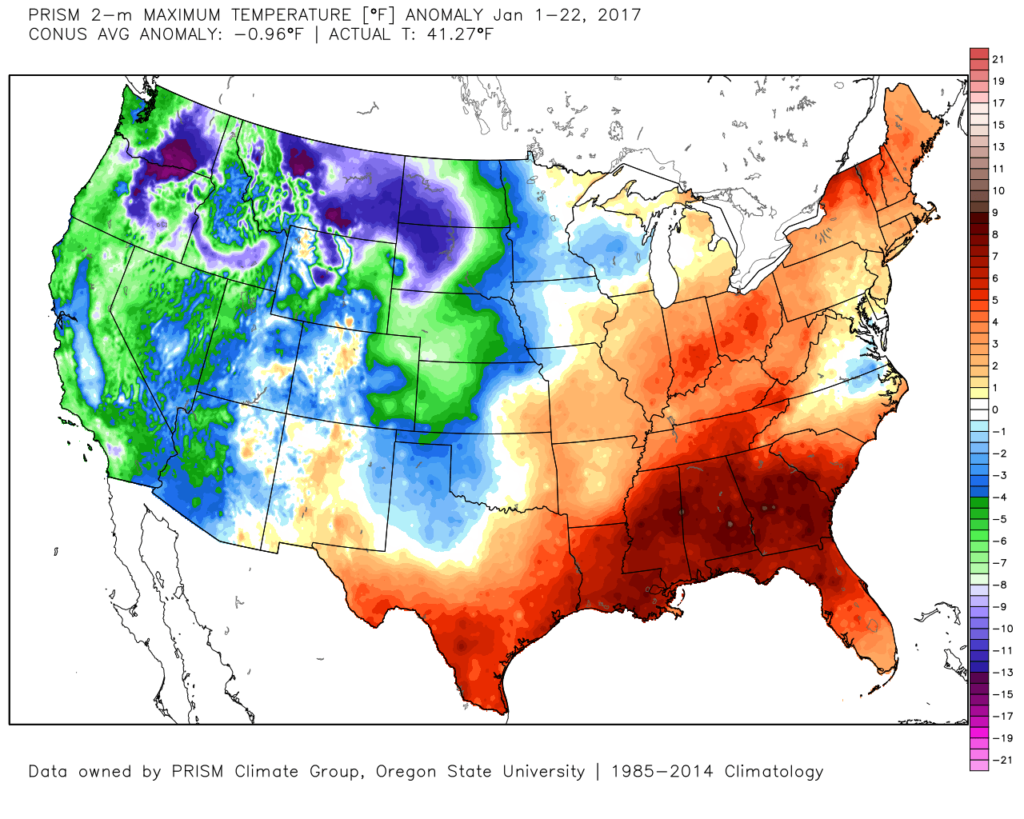
 After the past week to ten days, that frigid open to the month seems like forever ago! The past 7-10 days has featured a significant January thaw, and temperatures now, MTD, are warmer than average across the Ohio Valley. Warmest anomalies can be found across the southeast region.
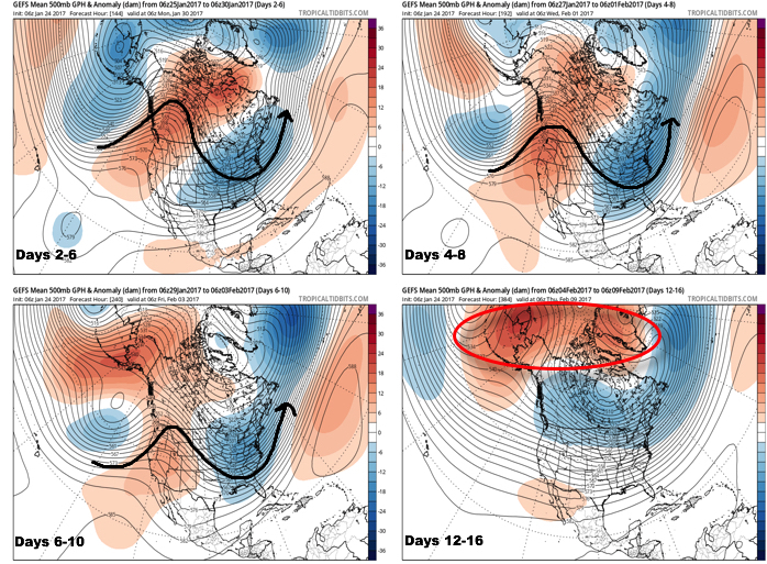
 That said, the pattern is shifting back to winter for the last week of the month and while the duration, longer-term, can be argued, the next 2-3 weeks appear to offer an opportunity to play “catch up” in both the snow and cold departments. Note the developing eastern troughiness. This will bring colder air back into the east as we close January and open February. The GFS ensembles, courtesy of Tropicaltidbits.com, also develops an interesting “blocky” look towards the end of the period in Week 2. Should this verify, it would lead to a better chance of the cold, active pattern locking in.
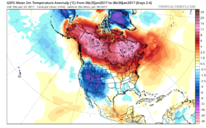
You’re corresponding temperature anomalies show the shift back to a colder than normal regime.
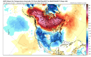
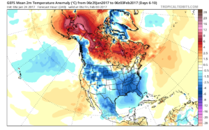
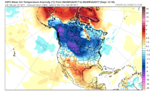
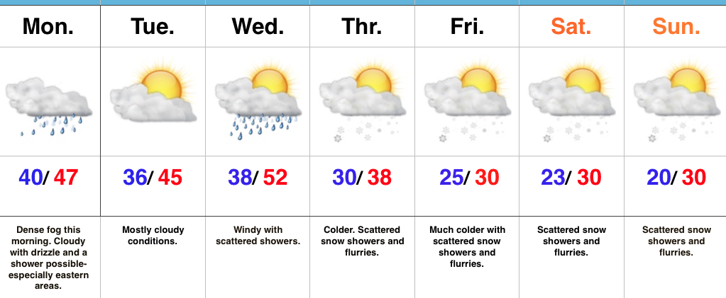
A fast northwest flow will also result in multiple “pieces” of energy rotating southeast and we’ll forecast a period of snow showers by mid and late week, continuing into the weekend. There’s the chance of a stronger clipper system sometime in the Sunday-Tuesday time frame that we’ll have to keep a close eye on. We want to stress that global modeling will struggle with the specifics (timing and strength) of these clipper systems until within a couple days.
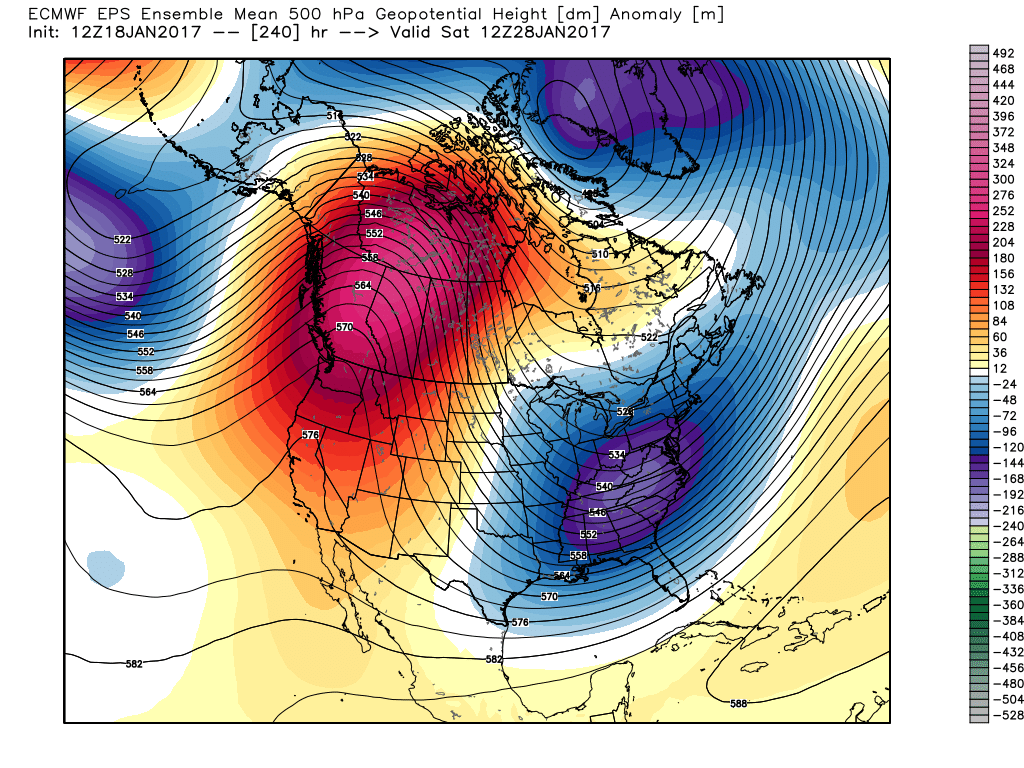
Longer term, while confidence is high on the evolution to a cold, wintry regime through the medium range, the longevity and sustainability of the cold is in question. For instance, by Day 10 (as the GFS continues to drill cold into the region), the European ensembles are much less impressed and suggest the overall transient pattern we’ve dealt with for the balance of the winter continues:
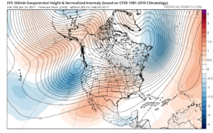
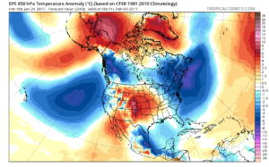 Thinking here at IndyWx.com believes the European is likely rushing the warmer central look. Time will tell…
**We do note the NEW European Weeklies lock a period of cold into the east from mid-February through early March, including a stormy (snowy) look. Will Old Man Winter have the final say?
Updated 7-day later this evening!
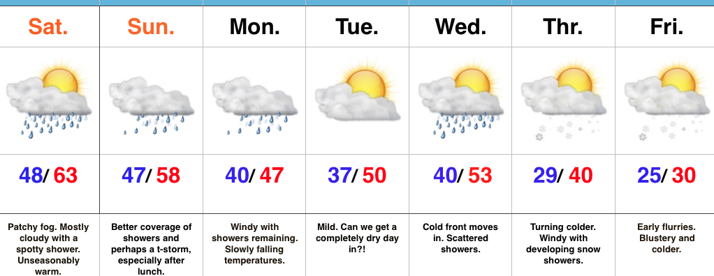
 The second week of the month warmed significantly and continues, overall, for the next week.
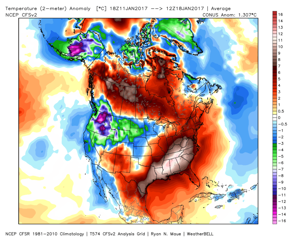 The mid-January warmth is attributed to a roaring PAC jet which is currently helping flood the country with temperatures much more like spring than the dead of winter. We continue to forecast 60+ this weekend across central IN.
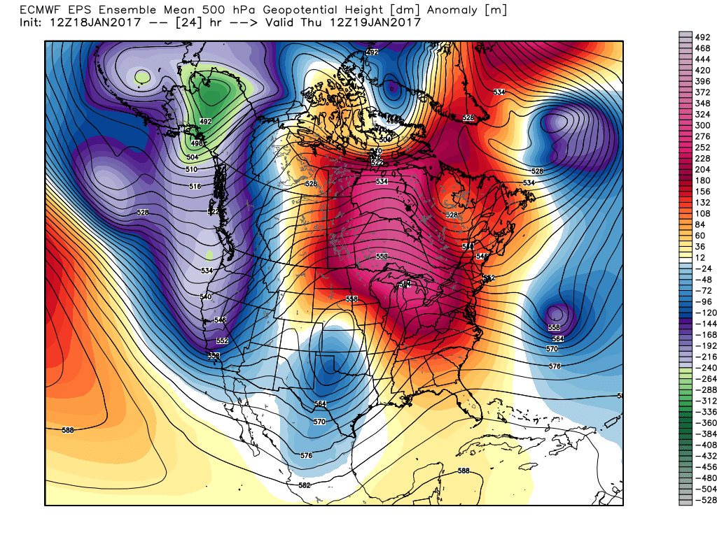 This Weekend:
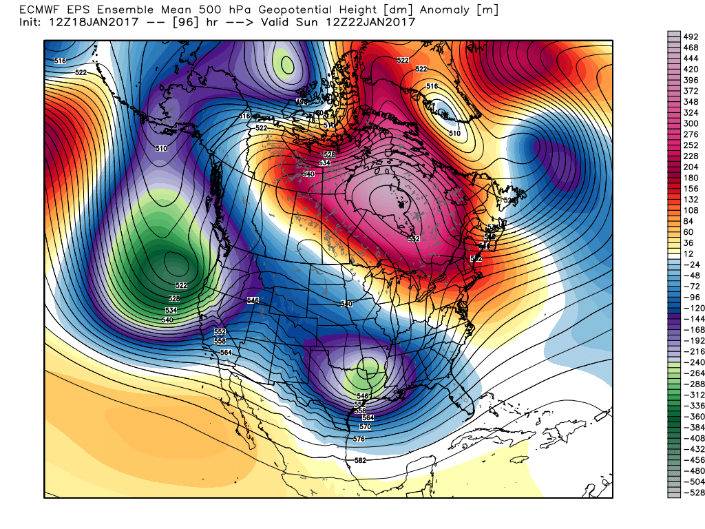 Next Thursday:
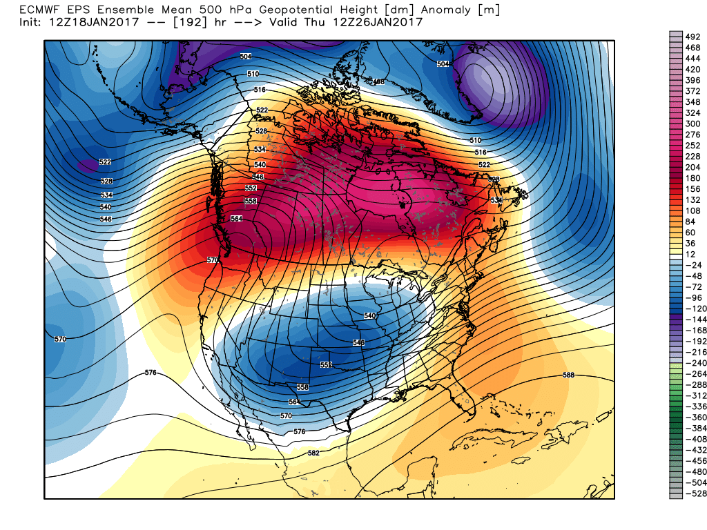 Next Weekend:
 The pattern begins in the short-term with a look that will power anomalous warmth through the weekend, along with renewed rain chances Thursday night into Friday (another 1″+ for most), but begins to shift next week towards the colder look. The 2nd (weekend) storm system will be significant and poses a severe risk to the southeast region. Modeling has backed away on the heavy rain threat Sunday, but showers will be around early next week along with very windy conditions (40+ MPH gusts). Blocking is forcing the low south. By the time we get to next weekend, the pattern has done a 180 and in a position to drill unseasonably cold air back into the central and eastern portions of the country.