Updated 11.11.13 @ 8:30a
Zionsville, IN Despite some wind (top wind gusts this weekend reached around 30 MPH) and a chilly Sunday, the weekend was a beautiful one, complete with lots-o-sunshine! A more active time of things is ahead to kick off the work week. We discuss below…
 Monday: Increasing cloudiness with PM rain showers transitioning to light snow (0.50″); 28/ 46
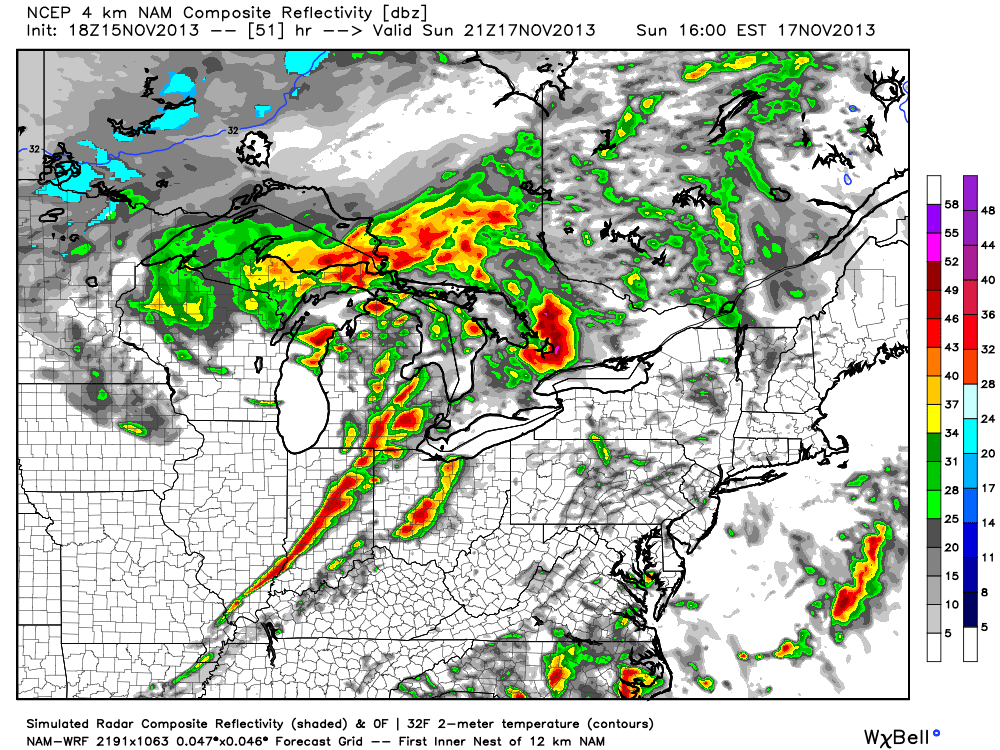
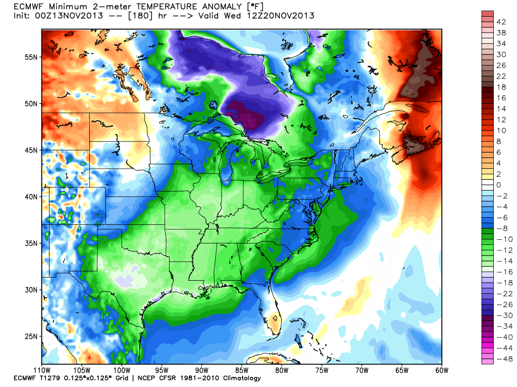
The day will dawn with some sunshine, but clouds will be on the increase and showers won’t be far behind. This is all part of the early season arctic cold front we’ve been talking about. We think showers (initially rain) arrive into north-central Indiana as early as the early to mid afternoon hours before pushing fairly rapidly south. It’s towards late afternoon/ early evening rain begins to transition to snow. Light snow will continue into the nighttime hours and potentially accumulate to around half an inch across most of central Indiana.
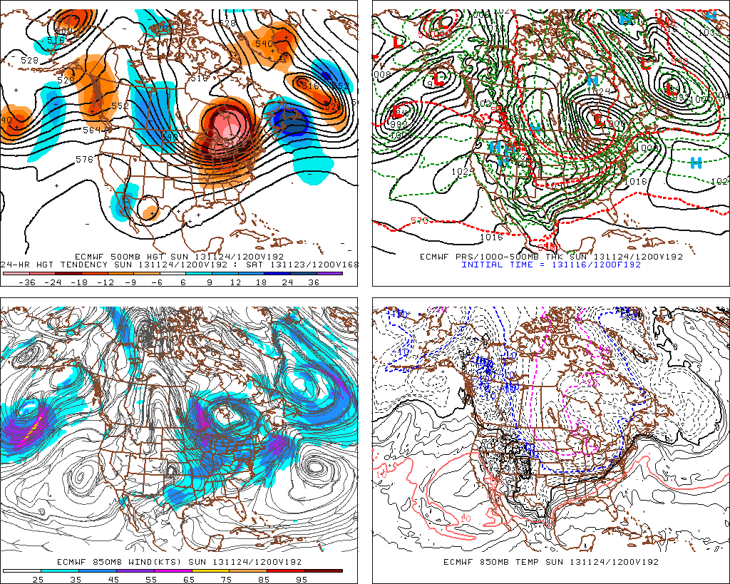
There are a couple of items we’ll have to monitor closely through the overnight and that’s the exact placement of what should be some impressive bands of lake effect snow streaming off Lake Michigan. While the more significant accumulations, upwards of half a foot for the Indiana snow belt, will remain well north of us, there is the chance a more concentrated band of snow could reach as far south to impact portions of north-central Indiana late Monday night into Tuesday morning and result in accumulations of an inch or two for localized communities. Again, this will have to be handled as a “NowCast” scenario and isn’t set in stone. If locally heavier snow accumulations do develop with the localized lake enhancement, the majority of this would be north of our immediate coverage area.
Temperatures will plummet Monday night into the lower to middle 20s on a gusty northwest wind. Needless to say, slick spots could develop on area roadways Monday night.
Tuesday: Scattered AM snow showers (localized 0.50″); 22/ 35
We’ll keep an eye to area radars Tuesday, particularly in the morning hours as scattered snow showers (potential lake enhanced snow for localized spots) continue. Conditions will be much more like winter than fall so plan to bundle up. In fact, temperatures will average close to 20 degrees below average for afternoon highs. Any lingering snow showers or flurries will begin to dissipate during the afternoon, paving way for a clear and very cold Tuesday night.
 Wednesday: Sunny; 19/ 42
High pressure will be overhead Wednesday and help supply a day filled with sunshine, although it’ll remain MUCH colder than normal. We’ll awake to the upper teens followed by highs reaching the lower 40s Wednesday afternoon.
 Thursday: Partly cloudy; 28/ 49
Temperatures will begin to moderate slowly Thursday as high pressure moves to our east. This will set the stage for a return southwesterly air flow and corresponding milder regime, albeit slowly. After yet another cold and frosty night, temperatures will make a run at 50 degrees Thursday afternoon.
 Friday: Mostly cloudy; 35/ 49
A weak weather system will scoot through the region Friday and lead to an increase in cloud cover. Thinking, at least for now, has the area trying to recover from the cold, dry air mass in place so any sort of precipitation will, most likely, be tough to come by. That said, we’ll continue to monitor to see if we need to introduce a scattered light shower into our Friday forecast.
 Saturday: Cloudy with developing light rain; (0.25″) 39/ 52
The early look at next weekend places the region under a southerly flow of air with moisture making a return north, potentially out ahead of a rather significant storm system we’ll have to deal with early next week. The end result will initially be a rather cloudy, gloomy time of things, including developing light rain Saturday.