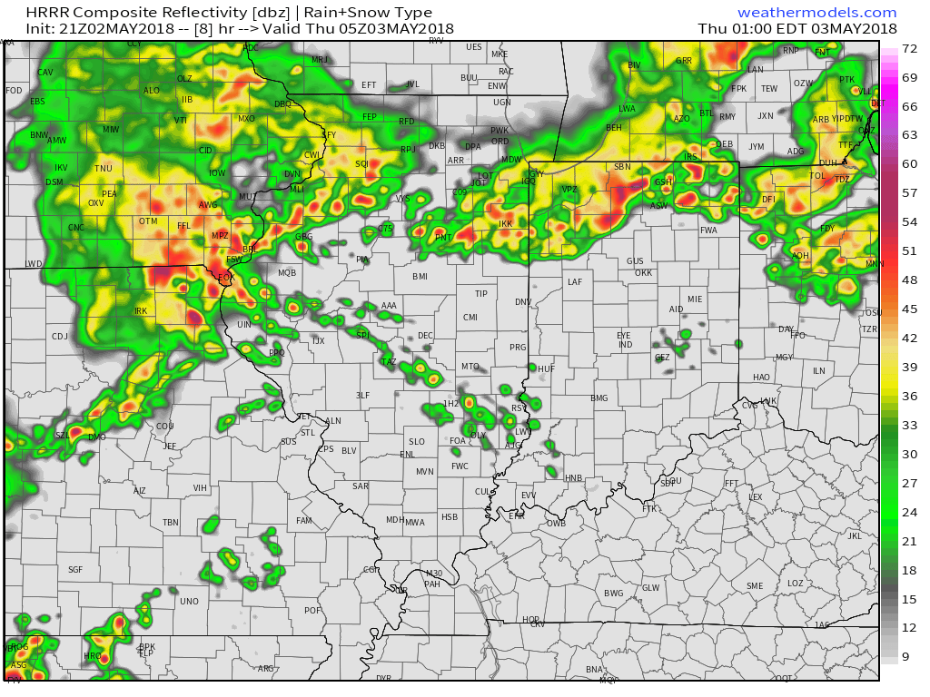
Storms are ongoing across northern portions of the state this evening and these will continue into the wee morning hours, as illustrated by the latest high resolution forecast radar products.
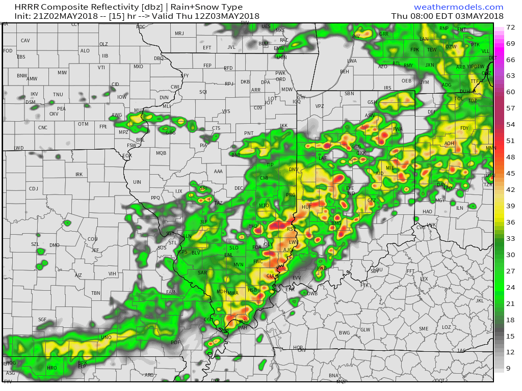
As we progress into the predawn hours, we’ll notice increasing coverage of shower and thunderstorm activity across central Indiana. It sure appears as if the Thursday morning commute will feature noisy storms, including locally heavy rain.
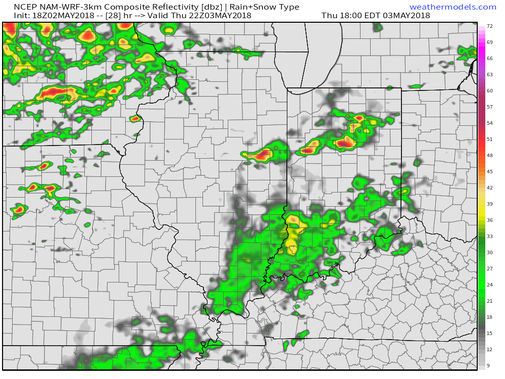
After the morning round of storms scoots off to the east, drier times are forecast to arrive through the early afternoon, but storms should quickly redevelop during the evening hours, continuing in scattered fashion into the first half of Friday.
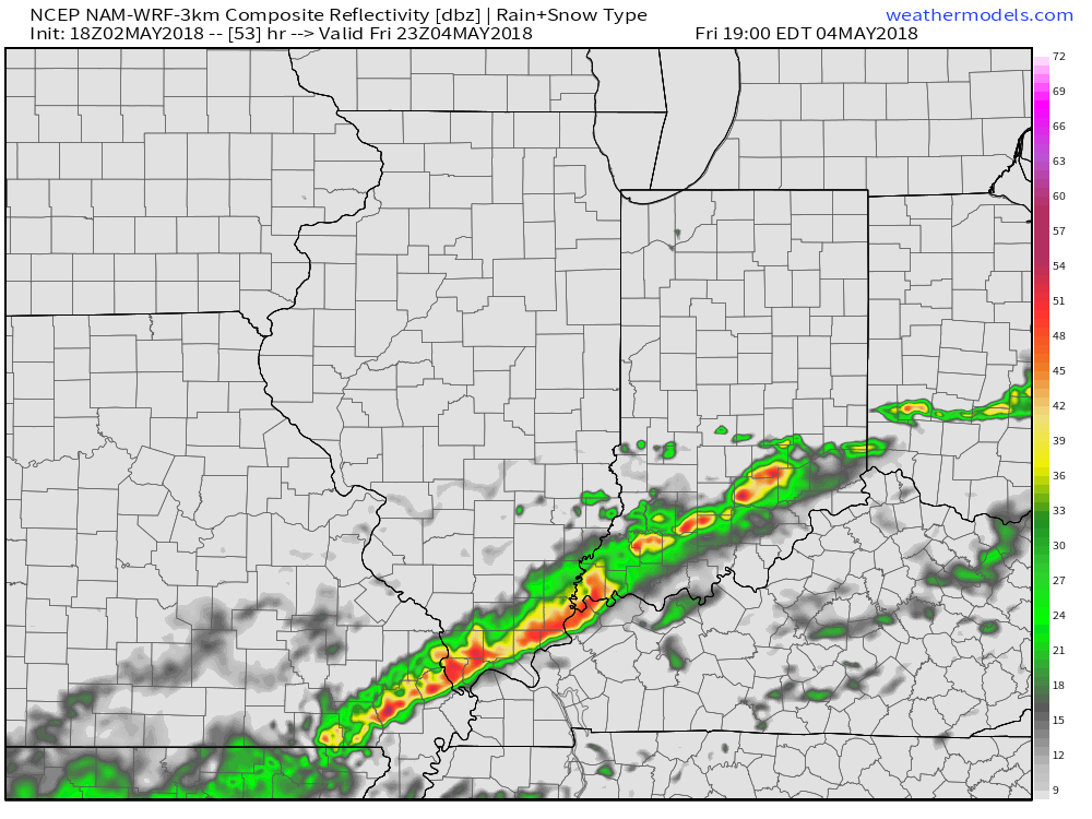
Finally, as the front passes Friday afternoon, a line of strong storms may impact southern Indiana prior to sunset Friday. Here across central Indiana, we’ll notice a drier brand of air working in from northwest to southeast through the evening hours.
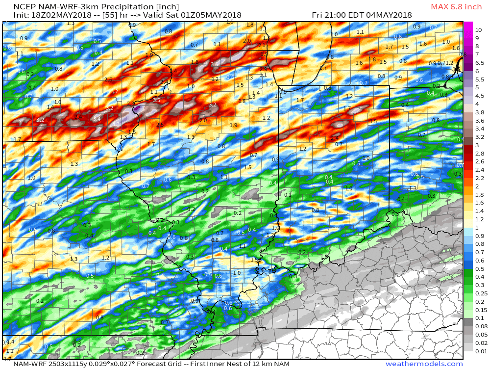
Thoughts haven’t changed with respect to rainfall totals: 0.50″ to 1″ with locally heavier amounts, especially across northern portions of the state.
 High pressure returns Saturday and will help set up a fantastic weather day. We’ll enjoy an increasingly sunny sky and pleasant temperatures topping out in the middle 70s Saturday afternoon. It’ll be a perfect day for those Cinco de Mayo and Derby festivities!
Leave a Reply