
Updated 12.29.23 @ 7:20a
First, if you didn’t have a chance to see our thoughts after the European Weeklies came in, you can check that out here.
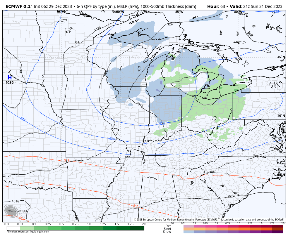
After the snow across portions of western and southern Indiana the past couple days (thank you for all of the reports, by the way), the next feature we’re tracking has to do with a clipper system that will dive southeast across the upper Mid West and into the Ohio Valley New Year’s Eve. This will certainly be moisture-starved, but should have just enough to work with to generate snow flurries and scattered snow showers by late Sunday morning, continuing in off an on fashion into the afternoon and evening.
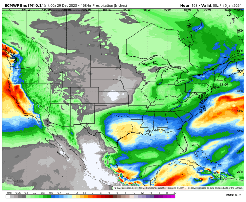
That’s really all there is to track, locally, over the upcoming 7-day period. The predominant storm track will shift off to the south during this time frame as an active, El Niño induced, southern jet takes hold. The one potential feature of interest is out towards the end of next week. We’ll keep an eye on it, but as of now, it looks like the phasing of energy will take place just a little too far east for anything of “excitement” here.
Temperatures will continue to cool closer to seasonal averages and perhaps a bit below normal over the upcoming 10-14 days. Greatest cool anomalies will be located across the western and southern tier during this timeframe.
