
Updated 07.15.23 @ 7:34a
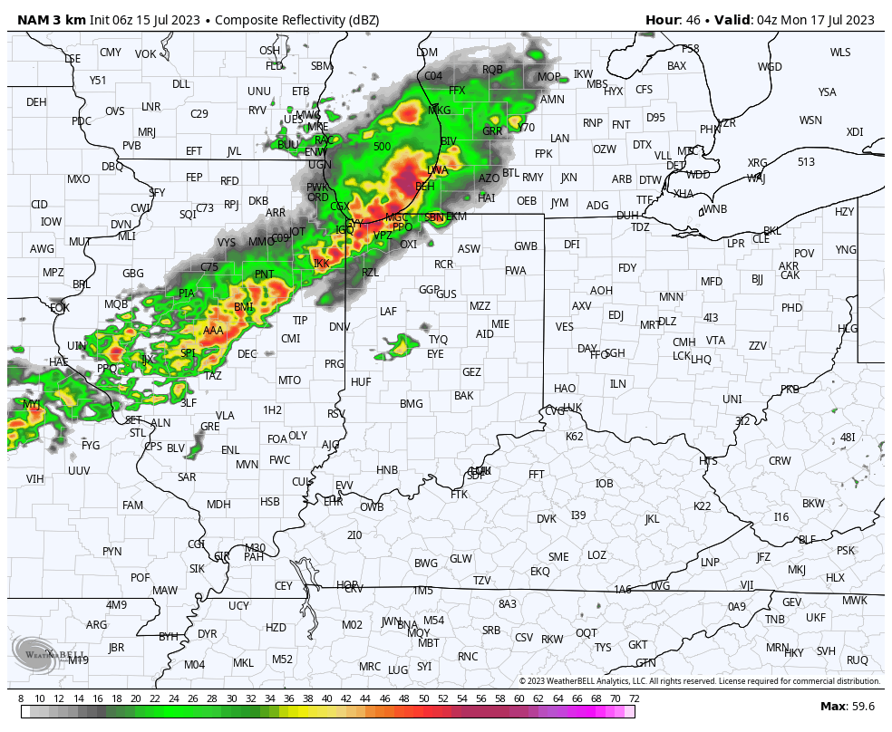
Heavy rain fell overnight across northern ‘burbs and now a general rain is falling across central Indiana with some embedded thunder. This will continue for the next few hours before a bit of a break in the action.
We’ll then watch for some brightening of the sky and this should be just enough to allow a few stronger storms to fire up this afternoon into the evening hours. Coverage of these storms should be greatest for central and south/ eastern parts of the state.

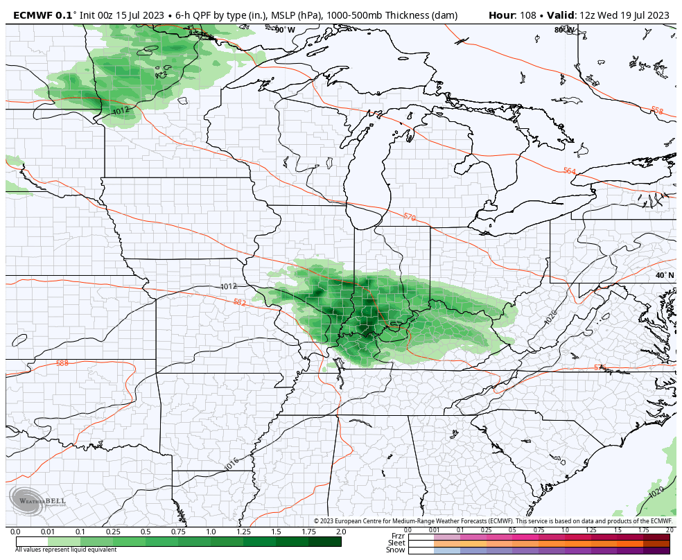
Most of our Sunday should feature quiet weather conditions but our attention will need to shift to the northwest by Sunday evening. Higher resolution models are seeing a storm cluster initiating in the upper Midwest before potentially dropping into central Indiana late Sunday evening into the overnight hours. It’s a tricky setup but we’ll watch for consistency over the next couple models runs and update accordingly.
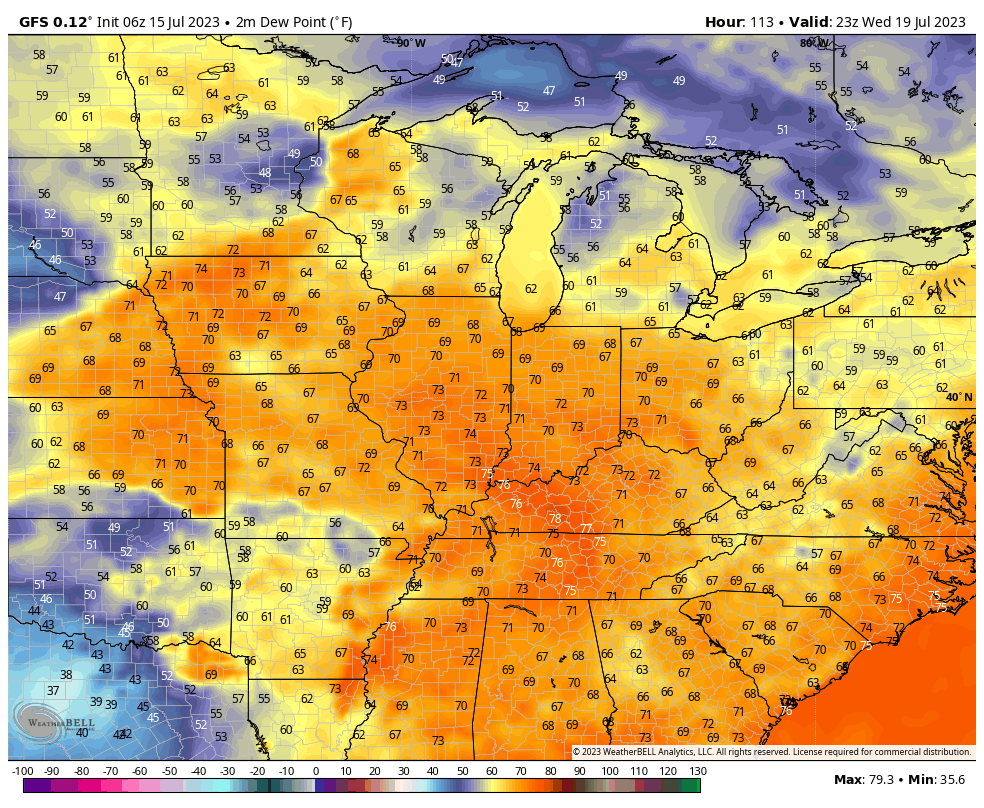
Beyond this period, most of the upcoming work week will feature a general drier brand of air blowing into the state. We’ll notice lower dew points and downright comfy conditions by late July standards early week (then as you’ll see below for late week).

The exception to the drier brand of air will be in the middle of the work week when dew points briefly return to the tropical 70° range and likely fuel resurgent storm coverage.
As of now, the early call on the latter part of next week is that lower humidity and reduced rain chances will help us kick off a pleasant stretch for the weekend. 🤞🏻