
Updated 06.06.22 @ 7:50a
Forecast Period: 06.06.22 through 06.16.22
After a calm open to our Monday, a storm system will blow in from the west and lead to an expanding area of storms this afternoon into the evening. From the area in and around Indianapolis and points south, some of these storms could become strong to severe (large hail and damaging winds being of greatest concern). Localized flash flooding is also possible due to the training nature some cells may take. Unfortunately, a rough evening commute is a good bet due to the timing of this storm complex.
After a quiet Tuesday, a similar setup can be expected of that from today on Wednesday. We’ll time the afternoon and evening hours for the arrival of the unsettled, stormy conditions. Additional chances of strong to severe storms will be likely, including threats that are similar to today.
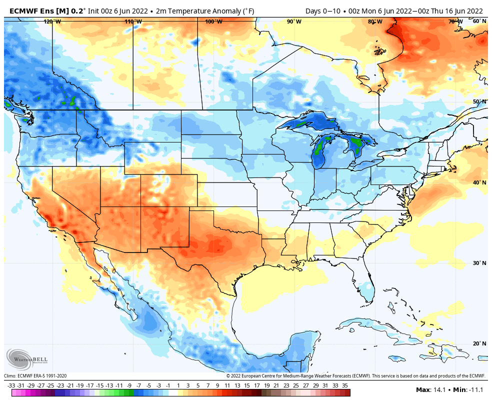
Finally, another system will deliver a round of showers and storms Friday. The good news is that for the 3rd consecutive weekend, it appears as if the area will enjoy pleasant weather, including unseasonably cool, refreshing temperatures.
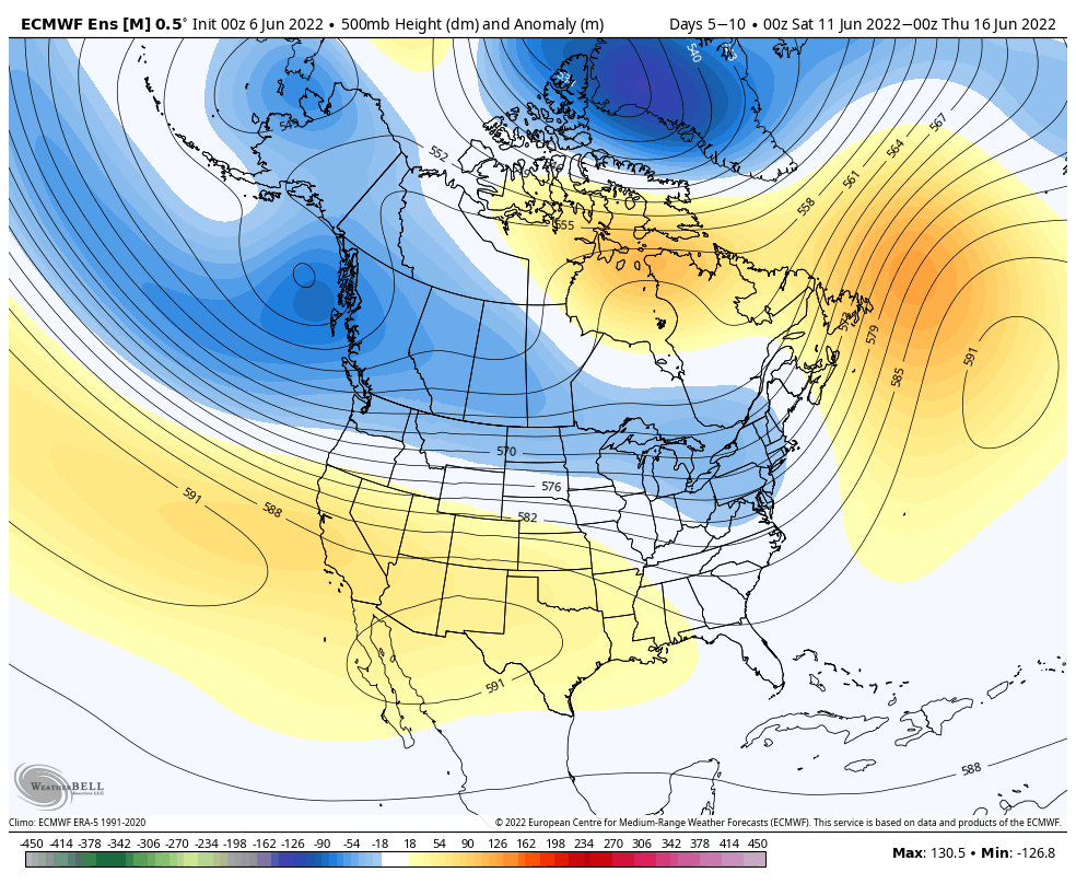
As we flip the page to next week, the week will open with a similar pattern dominating (northwesterly flow aloft) that will have to be monitored for the likelihood of additional storm clusters. Thereafter, models are in a bit of a disagreement on what takes place with building heat to our west. It’s possible this hot dome nudges far enough east to heat us up the middle of next week. With that said, indications are that even if this is the case, we wouldn’t see prolonged hot, humid times that our friends across the southern Plains and Southwest are contending with.
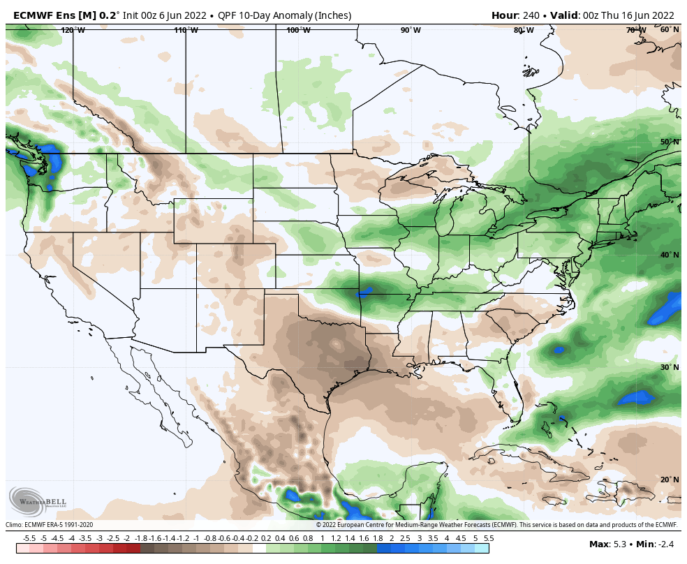
10-Day Rainfall Forecast: 1.5” to 2” (localized heavier amounts in excess of 2” will be likely where storms train).
Notes and Asides: Have been on the road the past few days. Travel day tomorrow but will be back at home base by evening. As such, please expect a delay in tomorrow’s post. We’ll have a client video posted towards late afternoon.