Weekly #AGwx And Severe Weather Outlook…

Updated 08.01.21 @ 2:23p

The predominant upper air pattern this week will feature “troughiness” centered in the Ohio Valley with ridging across the PAC NW.
Below normal temperatures will be found from the southern Plains east and northeast (greatest departures from normal across the MO and western OH Valley region) as we progress through the first week of August.
Wetter than normal times can be expected across the Gulf Coast and up the eastern seaboard, along with the inner-mountain region.
We only expect central IN area rain gauges to accumulate between 0.10″ and 0.20″ on average over the upcoming period.

Forecast Period: 08.01.21 through 08.08.21

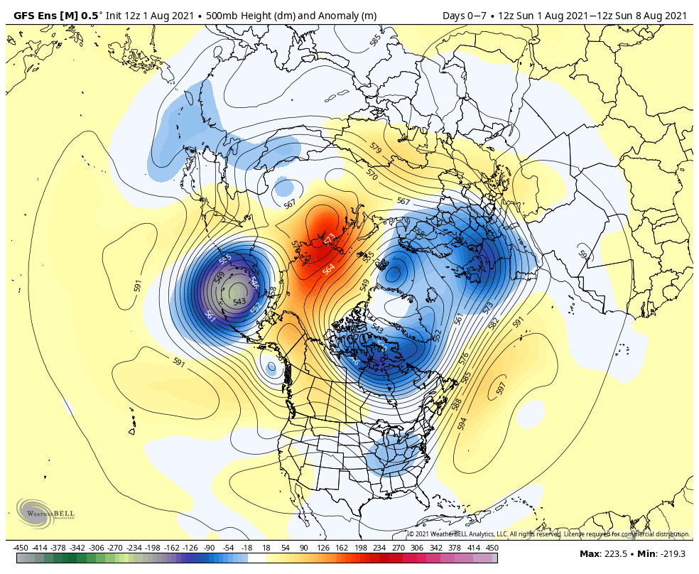
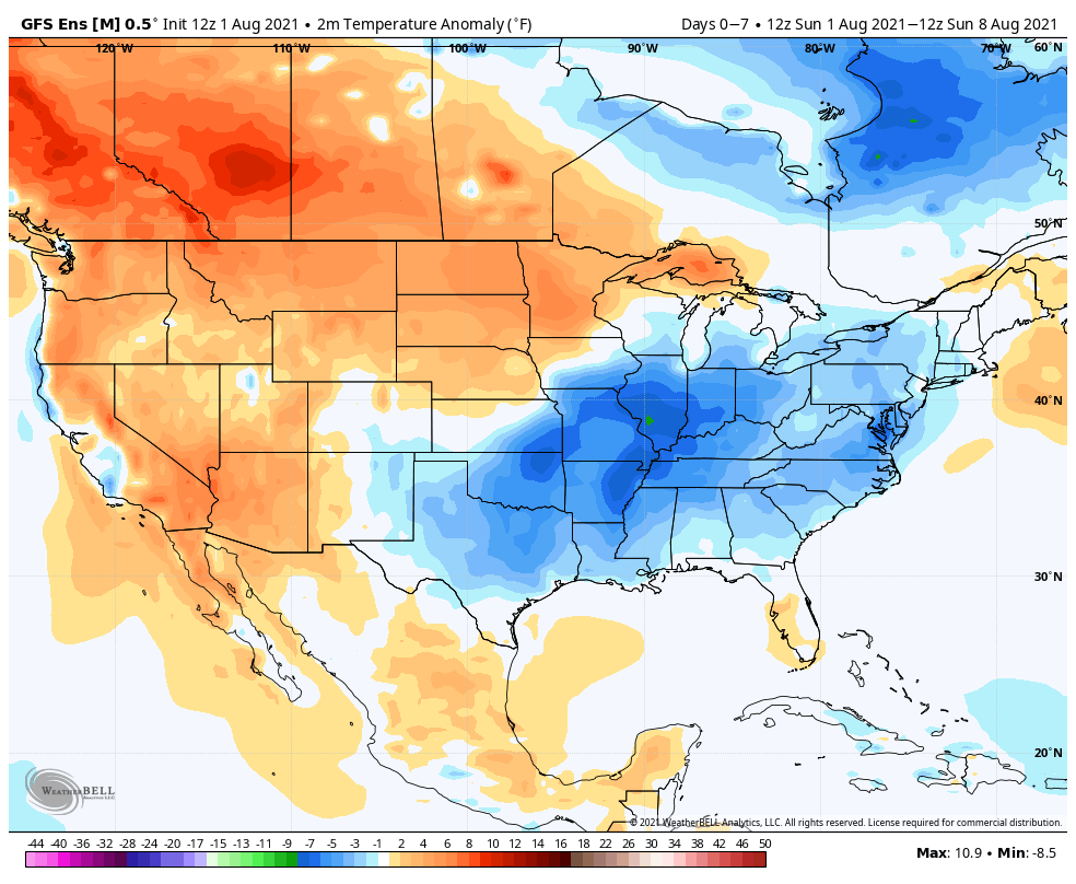
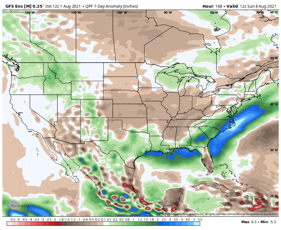
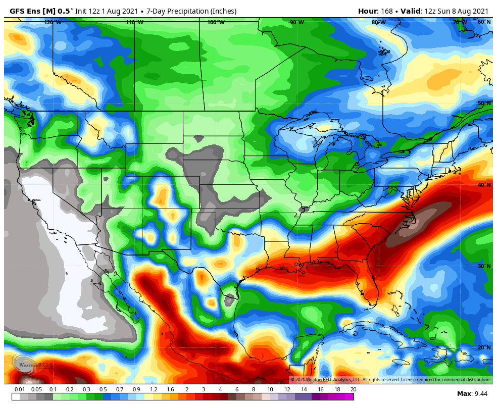
A secondary cold front will slip through the state this afternoon and may spark an isolated shower or thunderstorm, but “isolated” is the key word. Most will stay rain free in the upcoming week as high pressure dominates. This will be a quieter start to August than is typical, and also much cooler and less humid than we’d expect. In fact, multiple nights this week will feature low temperatures falling into the mid and upper 50s, especially outside of the city, itself. Out next best chance of organized showers and thunderstorms can be expected next Sunday. Enjoy the unusually quiet, cool, and dry weather. We’ll moderate (and turn more active) as we head into Week 2…

Permanent link to this article: https://indywx.com/2021/08/01/weekly-agwx-and-severe-weather-outlook-41/

Leave a Reply

Your email address will not be published.

IndyWx.com