Updated 07.04.21 @ 6a


Forecast Period: 07.04.21 through 07.11.21
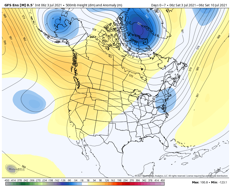
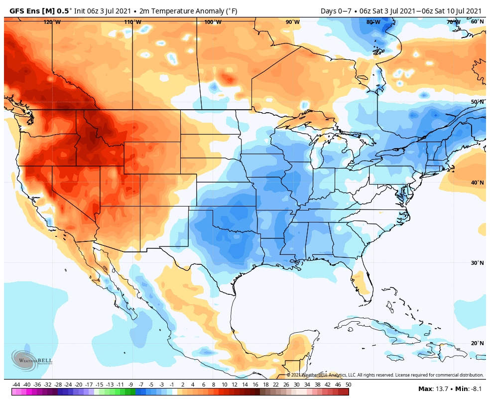
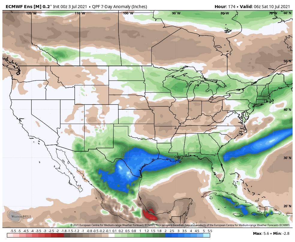
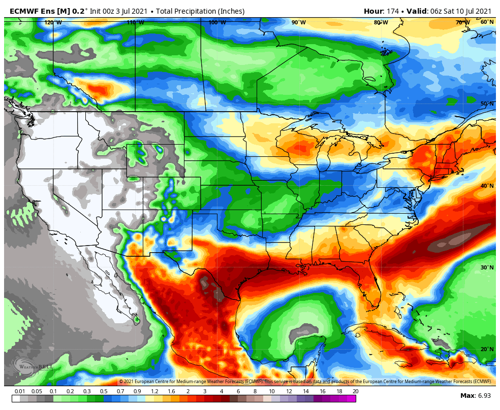
A quiet and pleasant stretch of mid-summer weather can be expected to open the forecast period. Elsa will grab headlines early on (and rightfully so) as she makes the northward turn most likely into the eastern Gulf of Mexico through the early portion of the work week. As it stands now, it appears as if the Florida peninsula is at greatest risk of heavy rain and strong winds thanks to Elsa. Back here on the home front, dry conditions will prevail at least until late Tuesday. A cold front will move through the region Wednesday with better chances of scattered showers and thunderstorms (0.50″ to 0.75″ type rainfall totals expected for most). We’ll get back to dry conditions Thursday along with less humid air once again. (A stronger storm system appears slated to impact the area just beyond the forecast period).
