Updated 06.20.21 @ 6:26a


Forecast Period: 06.20.21 through 06.27.21
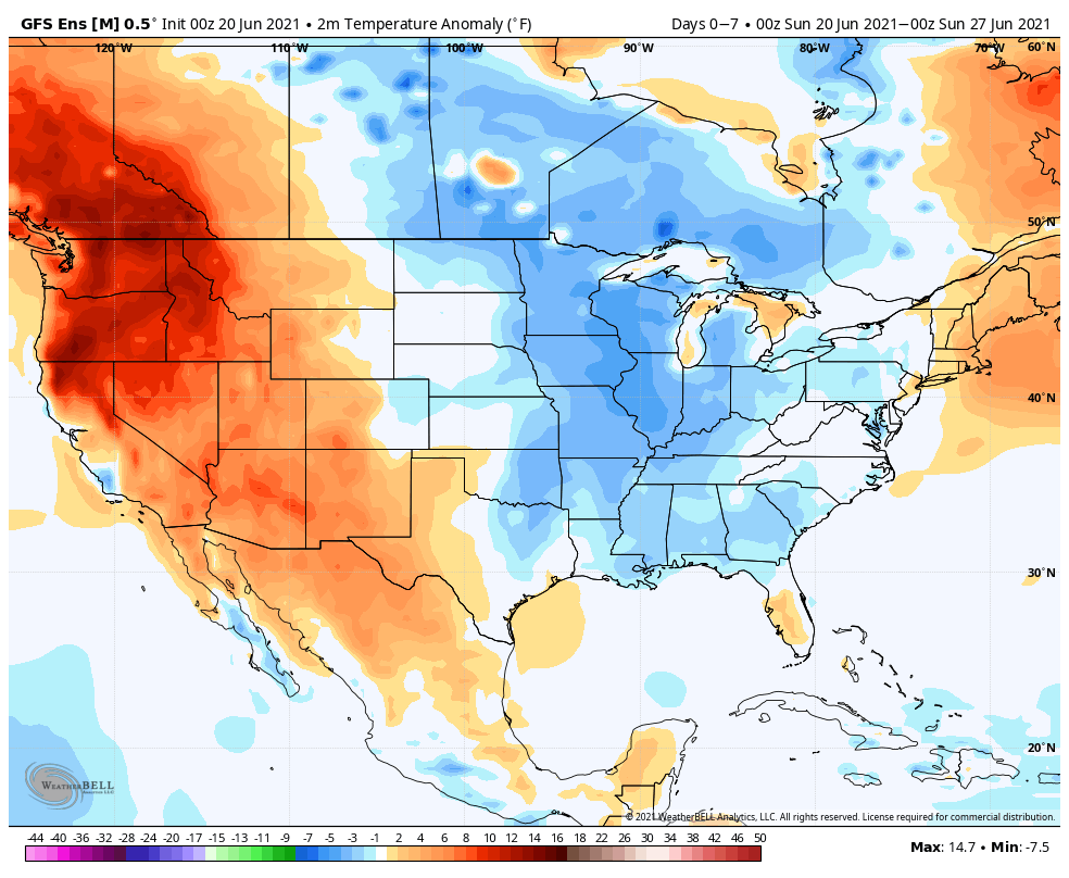
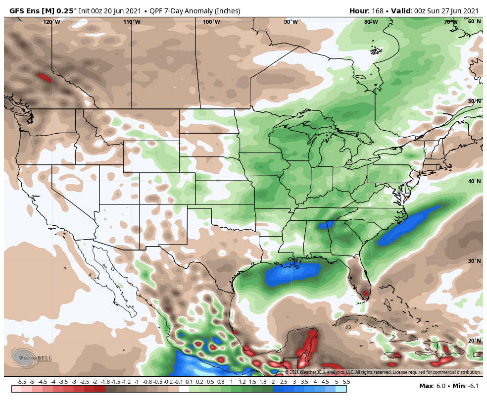
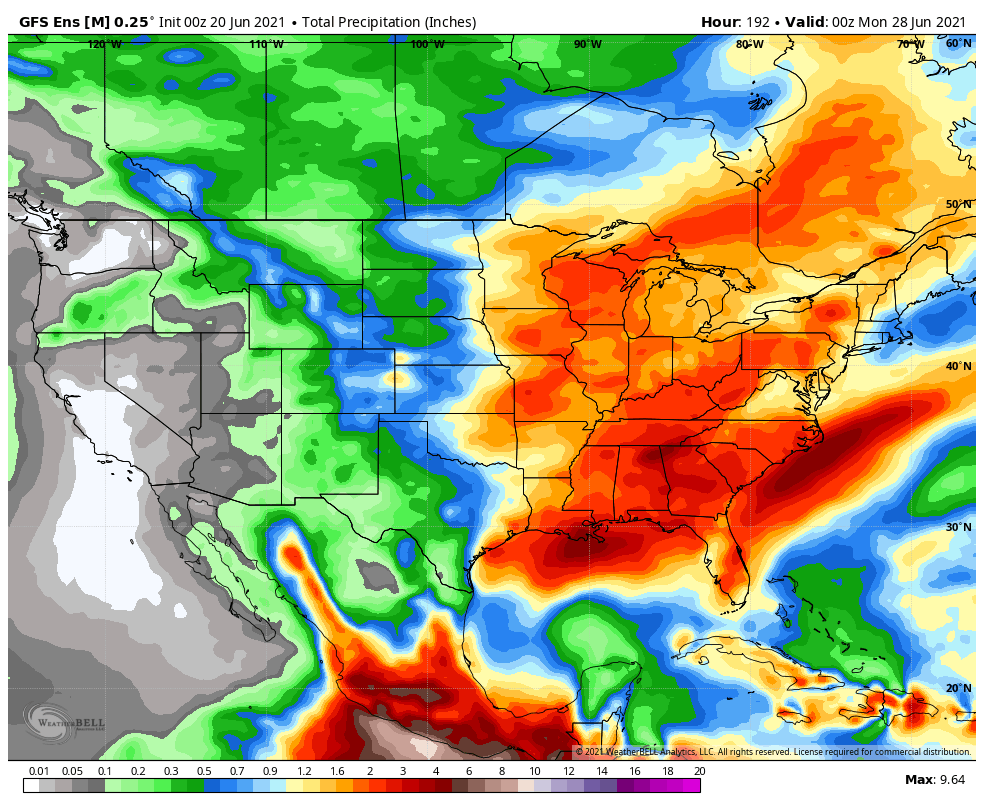
While we’re looking at an overall wetter than normal forecast period, there will be a multi-day stretch (centered on mid week) where we’ll enjoy dry conditions. This forecast period will be highlighted by additional storm potential with a cold front passing through to open the 7-day window, followed by the potential of heavy rain and stronger storms to close things out Friday into the weekend. Tuesday through Thursday will feature unseasonably cool and pleasant conditions, including the chance of some outlying areas to fall into the upper 40s. Warmth (and humidity) will build as we approach the weekend along with storm chances. While it’s still several days out, let’s circle Friday for the chance of heavy rain and stronger storms.
