
Updated 02.14.21 @ 12:29p
Type: Severe Wintry Weather
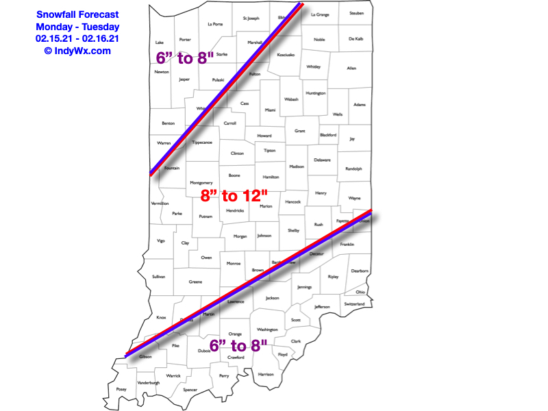
What: Heavy snow & strong winds
When: Monday morning – Tuesday morning
Temperatures: 16° to 21°
Wind: NE 15 – 25 MPH (gusts up to 35 MPH Monday evening)
Blowing/ Drifting: Severe
Pavement Impacts: Plowing and salting will be required
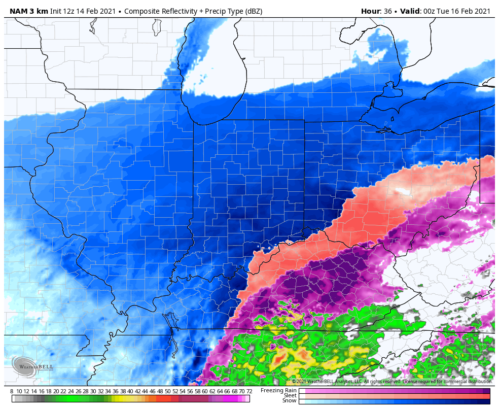
Summary: Light snow will overspread central Indiana during the overnight, continuing through Monday morning. As the surface low moves northeast (up the Appalachian chain), snowfall rates will increase Monday afternoon into Monday night, becoming heavy at times. The cold nature of this storm system will lead to an efficient snow producer, including rates that will likely top 1″ per hour at times Monday afternoon into Monday evening. As the low moves closer, the pressure gradient will tighten and lead to strengthening northeast wind gusts (up to 35 MPH) for a period of time after sunset into the late evening hours. Travel is highly discouraged tomorrow, especially by afternoon and evening as the combination of heavy snow and strong winds will likely lead to some roadways becoming impassable. Drifts in the open country will likely reach 3 to 4 feet by Tuesday morning. Snow will end from southwest to northeast Tuesday morning.
*Our other products issued later tonight will handle the expected additional significant impacts with Storm #2.
Confidence: High
Next Update: Tonight (video)