
I. New heat wave gets underway.
II. Keeping eyes to the sky for periods of gusty storms.
Forecast Period: 07.18.20 through 07.25.20
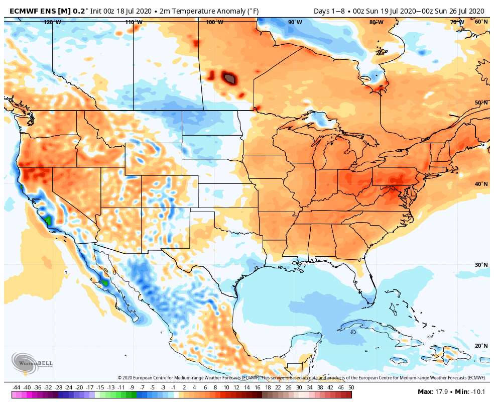
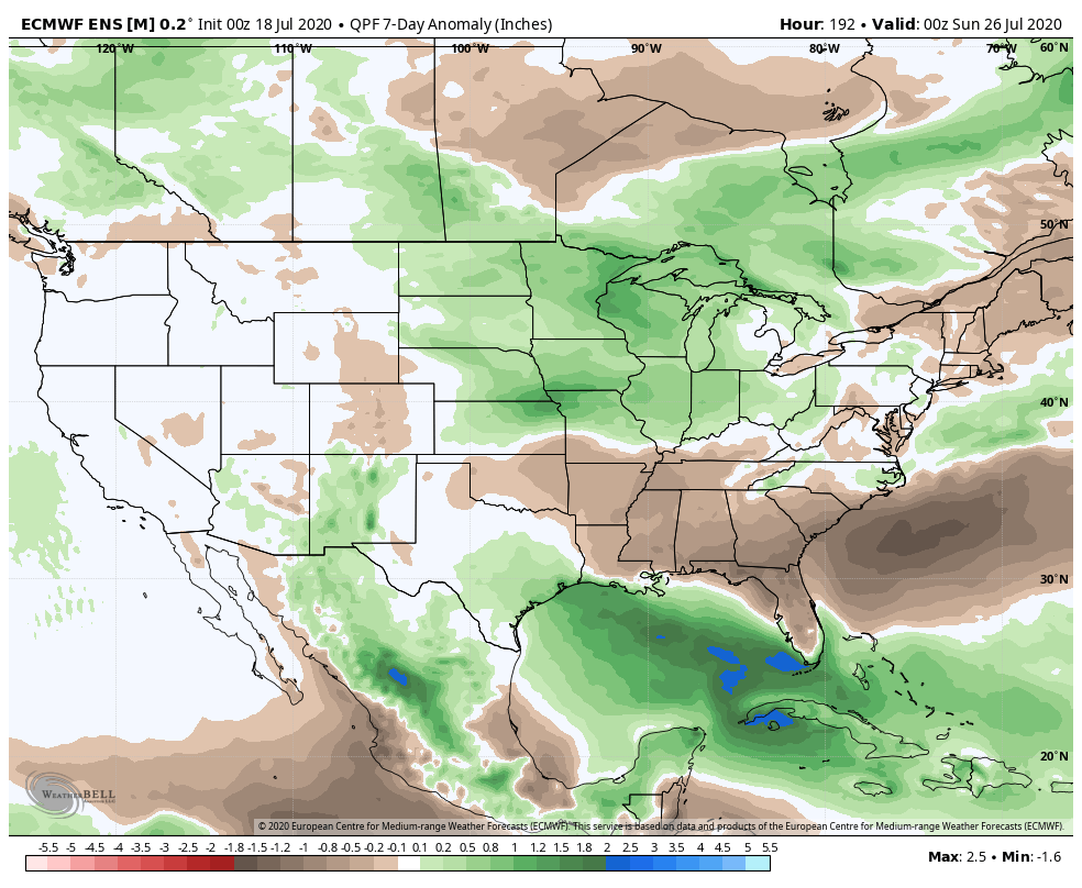
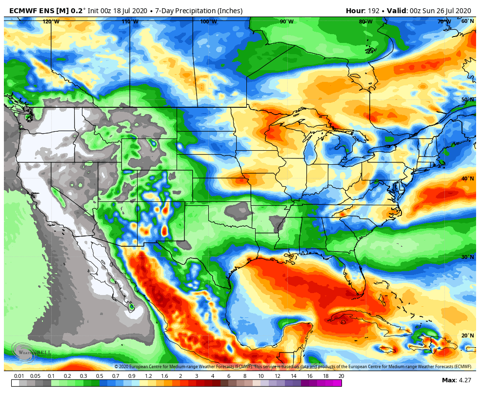
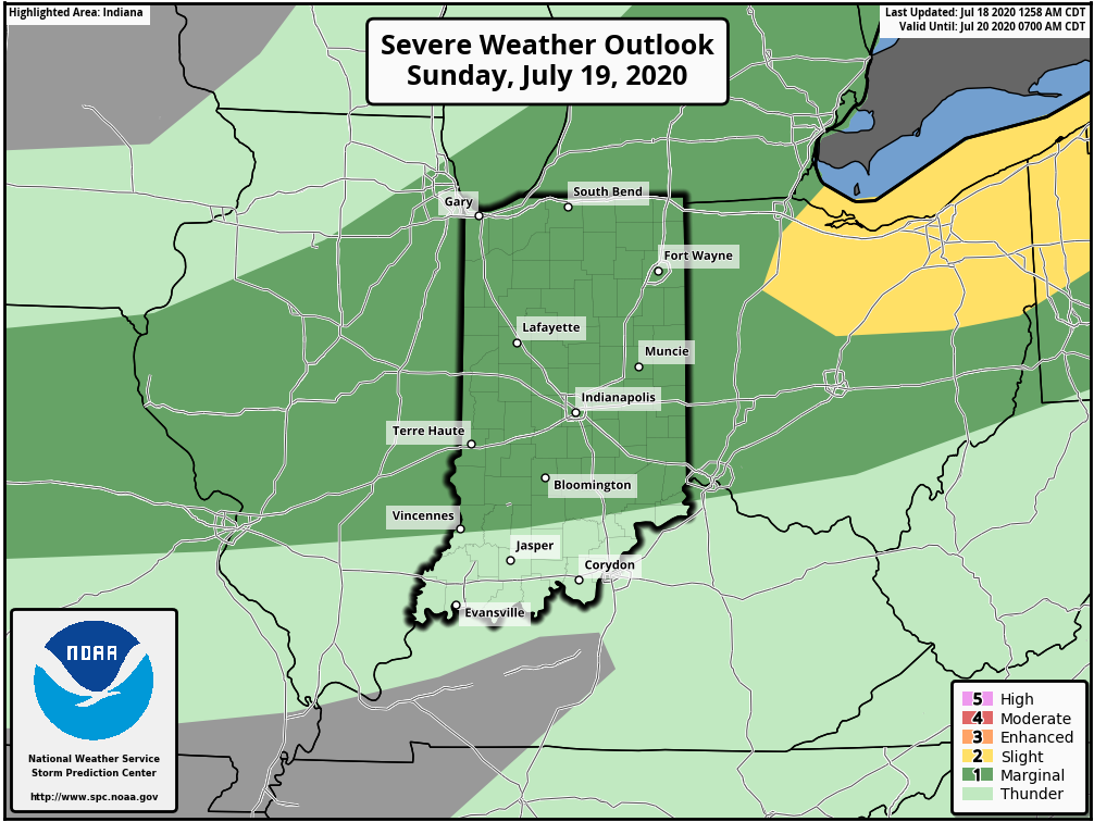
A hot and humid stretch of weather will dominate the upcoming forecast period, including another multi-day stretch with highs in the lower 90s and lows in the lower 70s. The saving grace? Timely rains. After a mostly dry Saturday (only isolated storm coverage expected), more widespread storms are expected Sunday. Some of these could become strong to severe Sunday afternoon, including the threat of damaging winds as a complex moves south through the state. This unsettled theme will continue into the 1st half of the work week with each day offering up scattered showers and storms. Drier air will briefly nudge into the Ohio Valley Thursday and Friday before storm chances return next weekend.