I. Significant heat wave builds from the Plains into the Ohio Valley and Great Lakes.
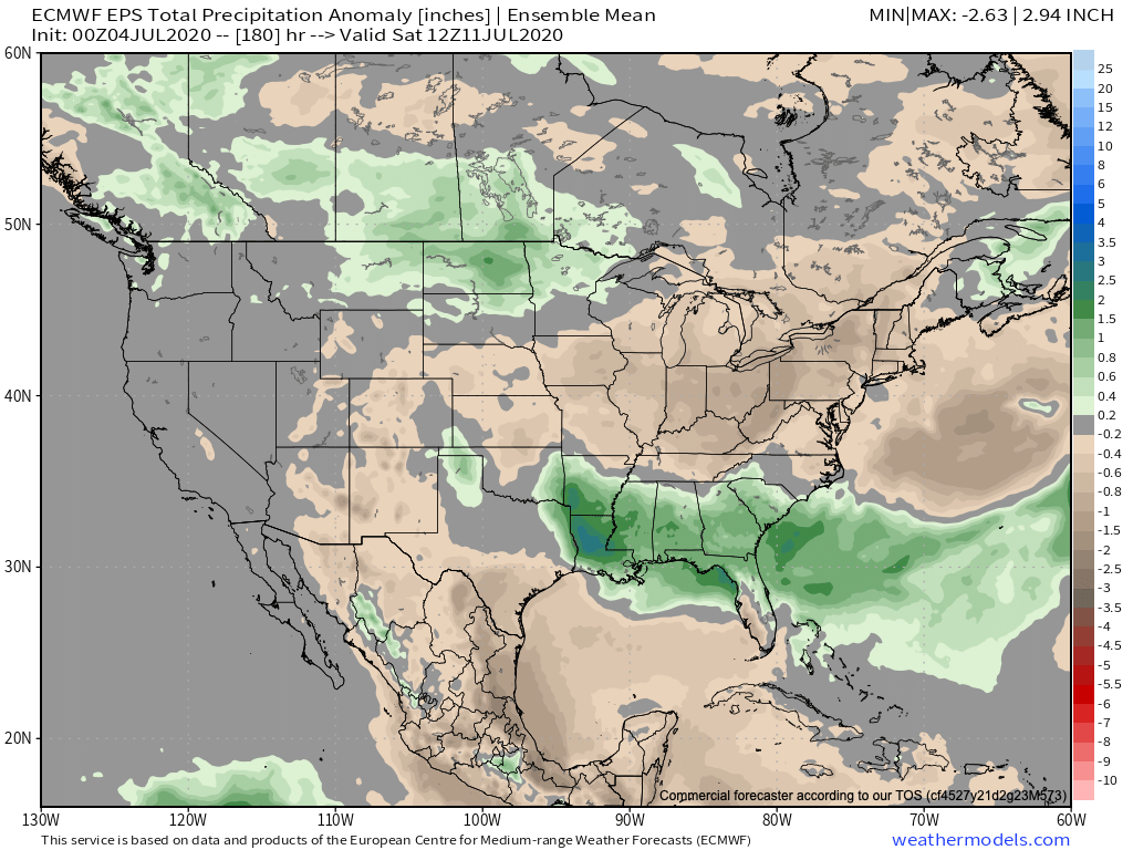
II. Heavy tropical downpours fall across the Southeast as a surface low meanders around the region early in the period.


Forecast Period: 07.04.20 through 07.11.20
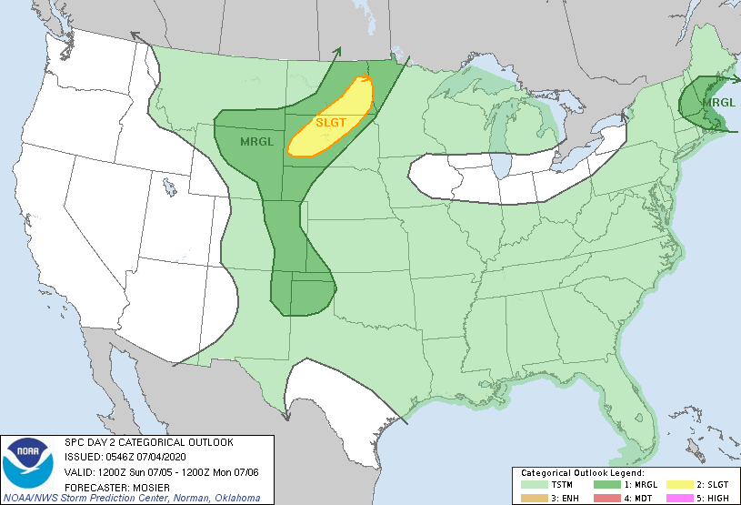
A relatively quiet period of weather can be expected across not only central Indiana, but all of the Ohio Valley over the upcoming 7-days as a strong ridge of high pressure dominates our region. This will lead to a significant and prolonged period of hot and increasingly humid conditions, including a consecutive stretch of 90° + highs to the likes of which we haven’t seen since the infamous summer of 2012. If planning time outdoors, build in frequent breaks. Overall dry conditions are also expected this week. The exception to this will be the opportunity of widely scattered storms developing in the prime heating hours (afternoon and evening each day). Count yourself lucky if you get under one of these storms. Unfortunately, some neighborhoods may go the entire week without a drop of rain.
Have a safe and happy Independence Day weekend, friends!
