
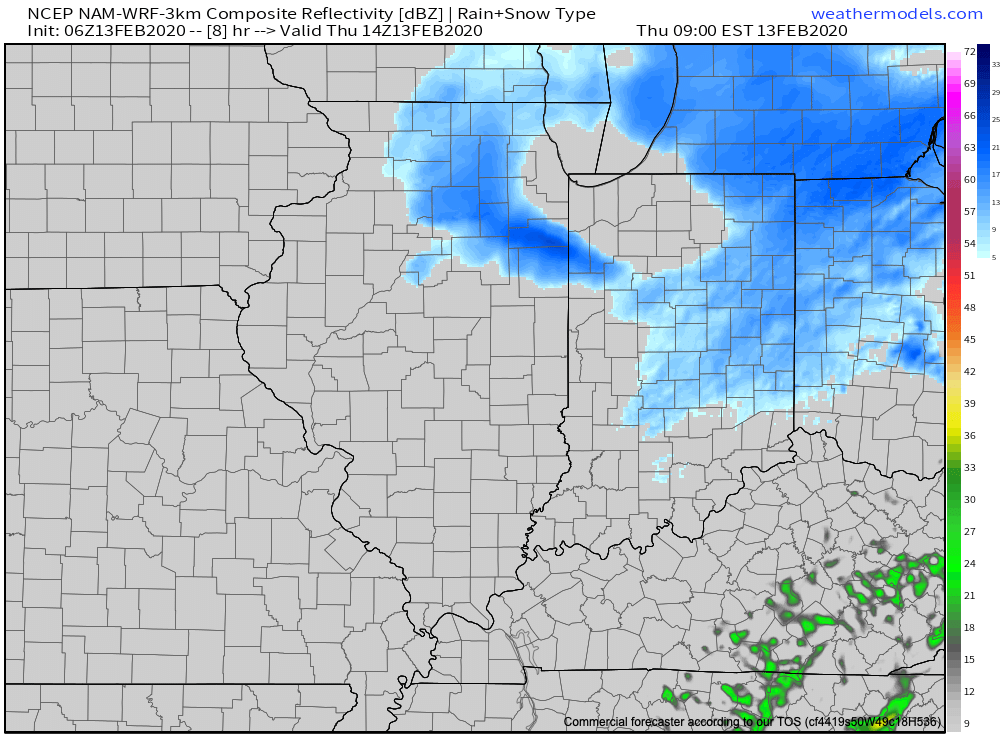
Periods of light snow will continue to move across central Indiana this morning. This is in advance of an arctic cold front that will blow through the state this afternoon. We’ve received reports of anywhere from an additional 1″ to 2″ associated with this wave of light snow during the overnight and early morning (please continue to send us your snow reports to bill@indywx.com or via Twitter @indywx)! The “system” snow will come to an end by early afternoon and give way to scattered snow showers/ localized squalls behind the arctic front into the evening.
The big story today will be the falling temperatures from around freezing (now) into the 10s by evening. Wind chill values will plummet to sub-zero levels by evening as arctic air pours into the region.

A couple of lingering snow showers will continue tomorrow morning (primarily across northeast and east-central Indiana) before sunshine takes hold. It’ll be a cold day with highs only expected to top out in the lower 20s after a low in the single digits for most of central Indiana. (Close to 20° below average for this time of year). The good news if you’re not a fan of the arctic air? Temperatures will moderate through the weekend and into early next week.
We’ll be back later this evening with a fresh long range update.