
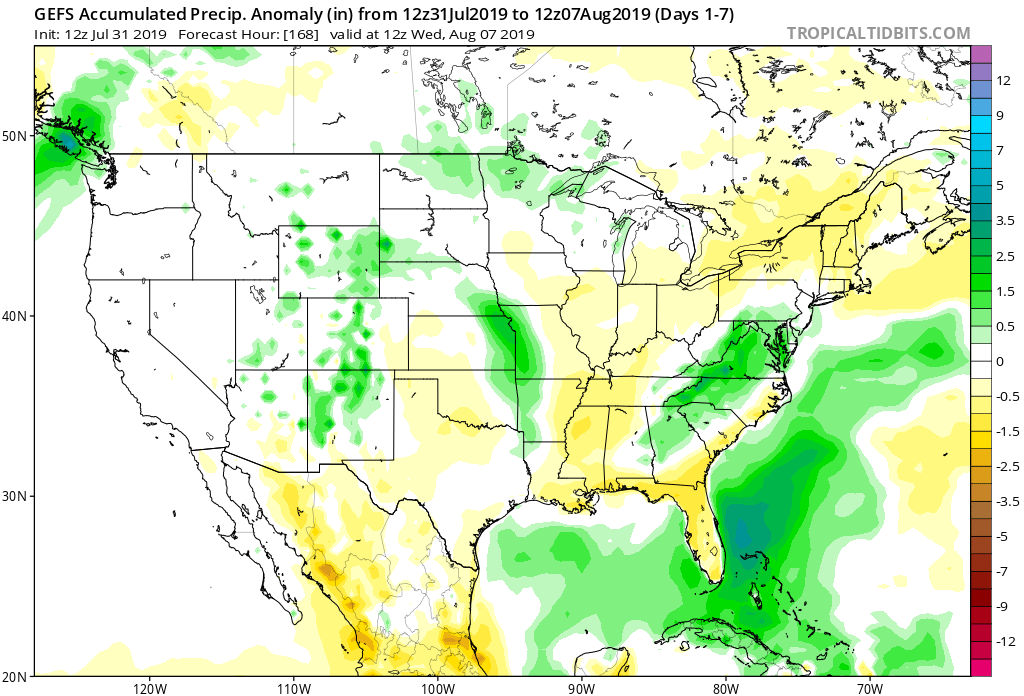
There’s no question that August will open dry, quiet, and downright pleasant. A lot of this is thanks to a dominating ridge of high pressure that will essentially park itself over the Ohio Valley into the early part of next week. While we continue to keep eyes on the potential of a shower or storm Sunday (especially across northern IN), the pattern overall through the upcoming week looks bone dry.
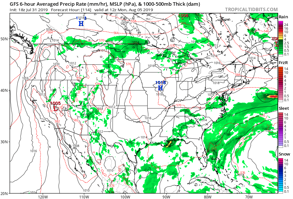
There’s no reason to disagree with the latest ensemble/ climate data and associated dry pattern depicted on the latest runs into the middle of next week.

That said, there are some key changes that take place between the current upper air pattern and what awaits in the Weeks 2-3 time period shown below.
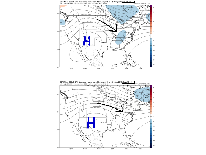
Note the placement of the upper ridge across the 4-corners region and the prevailing northwest flow aloft across the upper Midwest, Great Lakes, and Ohio Valley. This is the type pattern that should result in a rather significant “uptick” in storm systems traversing the region beginning late next week into the following week.
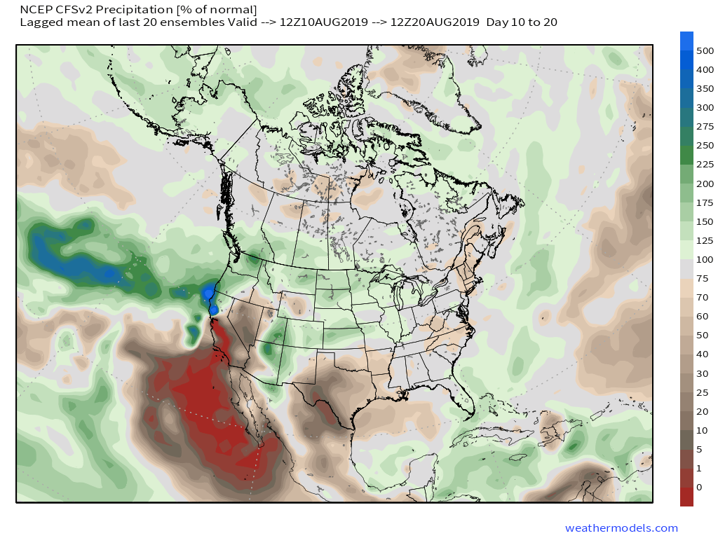
The latest Weeks 2-3 data is considerably different from present with respect to the overall precipitation pattern and we would agree this wetter idea has merit…
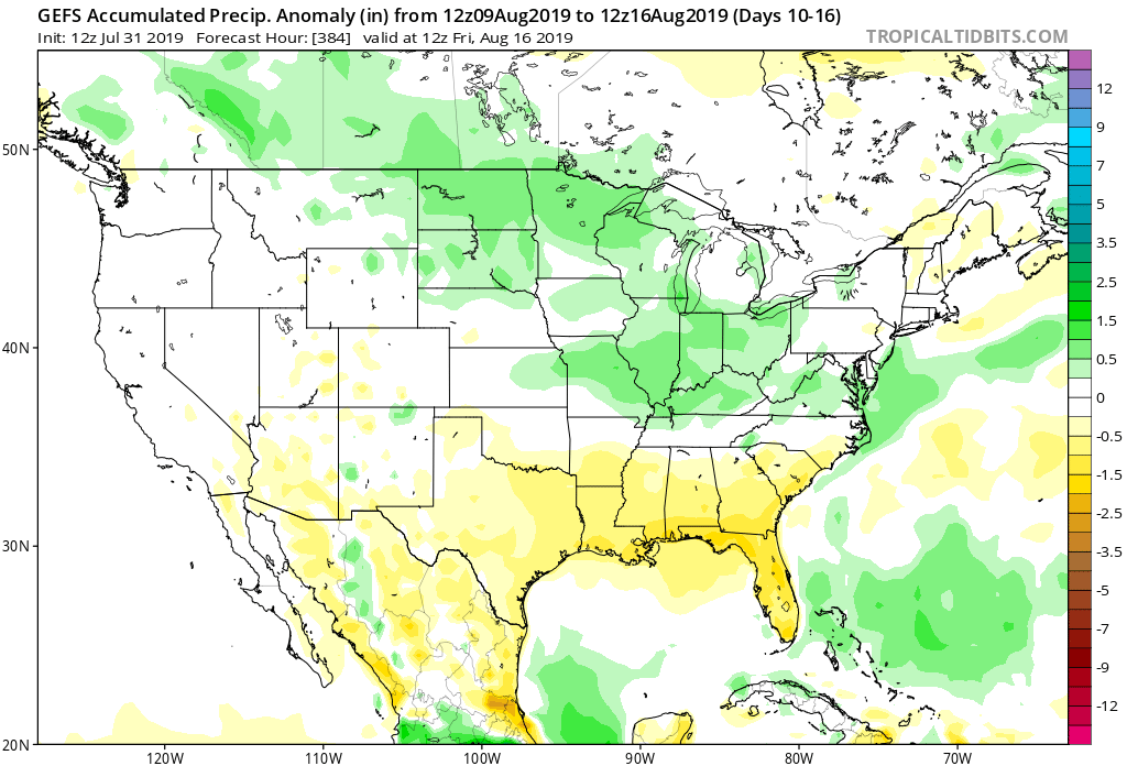
Moral of the story is that if you need to tend to significant outdoor projects over the upcoming 6-7 days, you’re in luck with an extended period of dry weather. However, we should thankfully avoid the prolonged hot, dry stretch that August can be notorious for around these parts with a significant shift towards a wetter pattern by Week 2.