
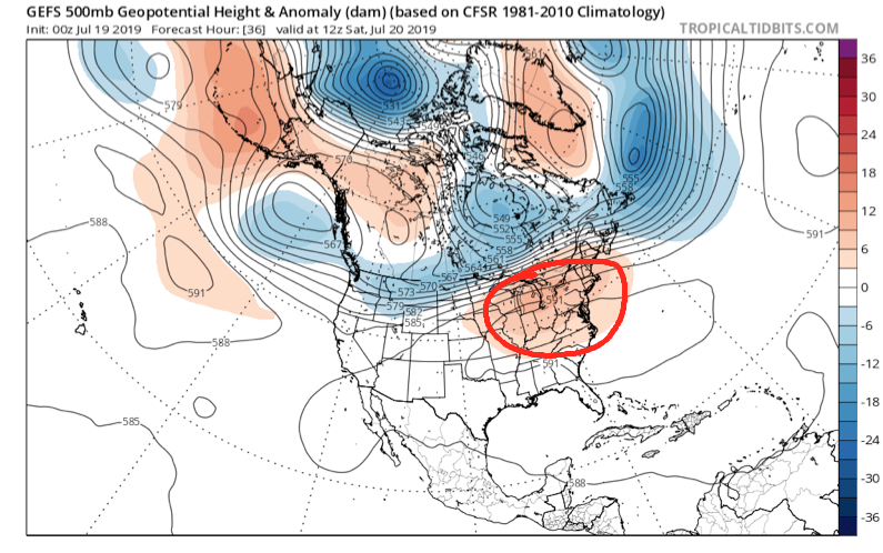
Over the weekend we’ll bake in some of the hottest and most humid air we’ve dealt with around these parts since 2012, however big relief is on the horizon.
We’ll get rid of the expansive upper level ridge responsible for the heat this weekend and replace it with a significant trough (at least by late summer standards).
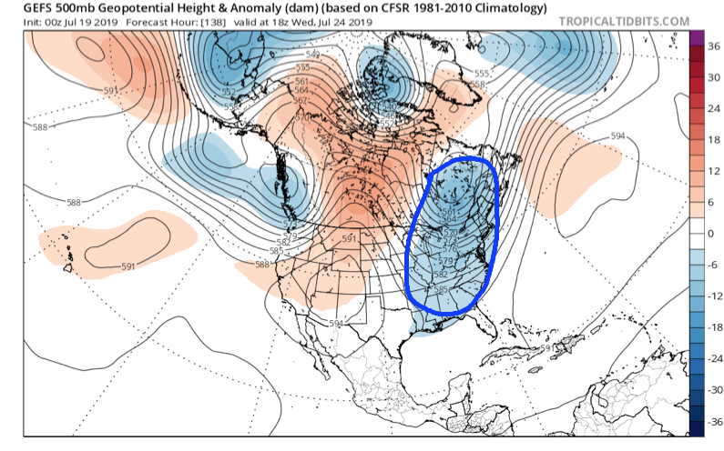
A strong cold front will sweep through the Ohio Valley Sunday and Monday with increasing coverage of showers and thunderstorms (a few may be strong). It’s this front that will help usher in the refreshing changes for next week. We’ll go from heat indices between 104-108 this weekend to overnight lows in the upper 50s to lower 60s at times next week. Ahhhhhh….
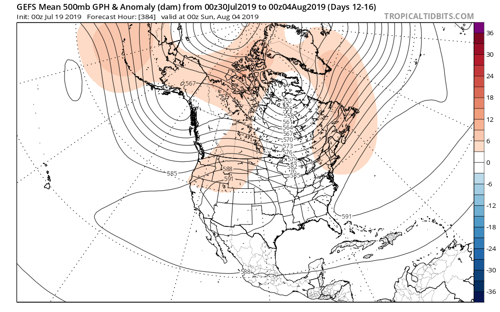
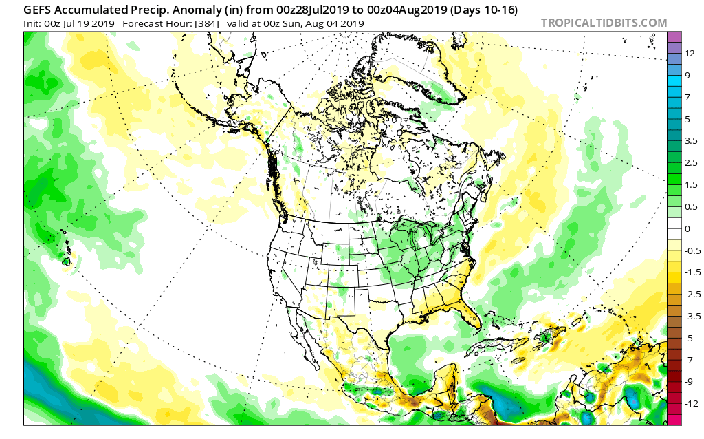
As we look ahead to early August, there’s certain to be additional warm-hot days, however, the mean pattern doesn’t look to promote any sort of sustained significant heat through the early portion of the month. Perhaps the most interesting item showing up on the longer range guidance (EPS and GEFS) is a return of a northwesterly flow aloft and the potential of a wetter regime building in as we traverse the early August period.
Hang in there, the reward on the other side of the weekend will be worth it with cool, Canadian air flowing south.