
As we prepare for the hottest air of the summer, we’ll have to remain on guard for the potential of thunderstorms impacting at least a part of the state Thursday morning.
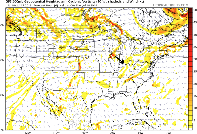
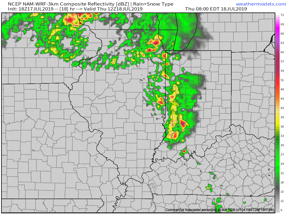
Upper level energy will track southeast into the state late tonight and early Thursday and combine with just enough energy to allow thunderstorms that should develop during the overnight (across southern WI and northern IL) to track into western Indiana during the predawn hours. (It should be pointed out this is separate from the convection that is currently resulting in warnings across MO and IL- as of 6:20p eastern time). Thereafter, these storms are expected to rumble into central Indiana in a weakening format around the morning rush Thursday.
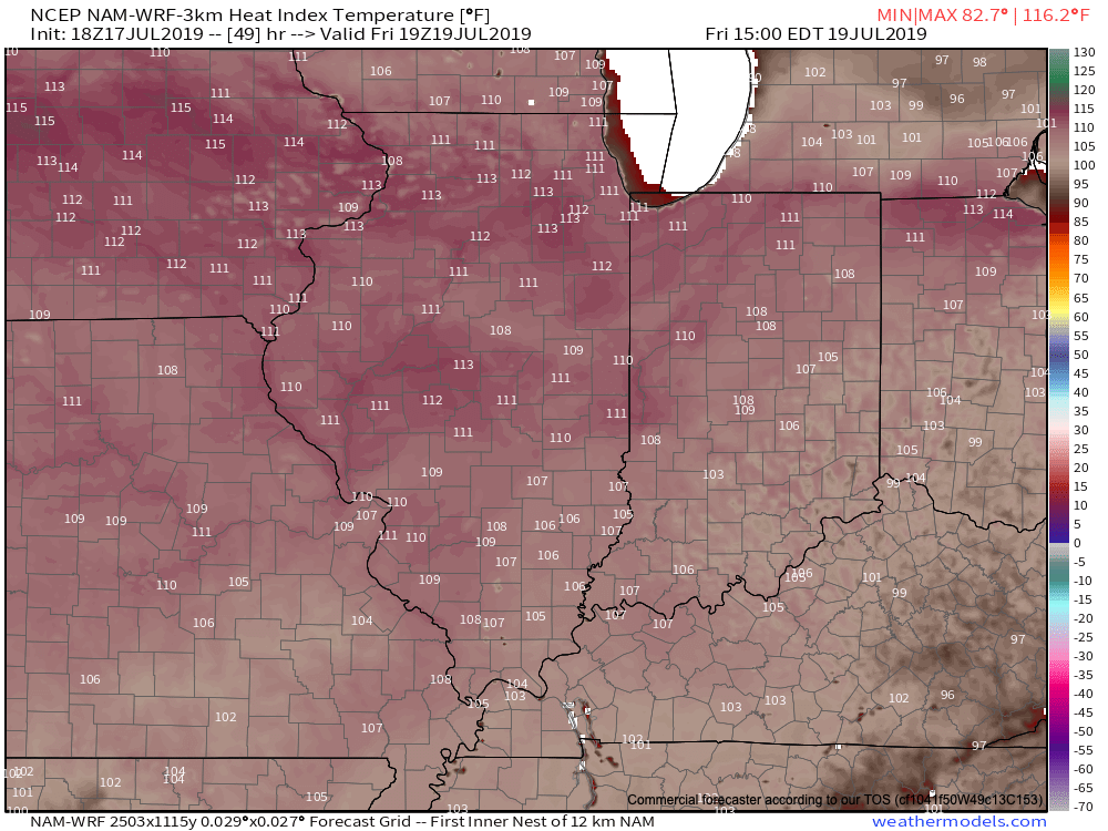
Thereafter, the big story will be the high heat and humidity that will lead to truly dangerous conditions across central Indiana beginning tomorrow afternoon into Sunday. Heat indices will top out between 100-105 each afternoon and in some cases a few degrees higher. It’ll be important to build in frequent breaks inside and drink plenty of water. Most, if not all, neighborhoods can expect to remain rain-free through the first half of the weekend (after we deal with our Thursday morning storms).
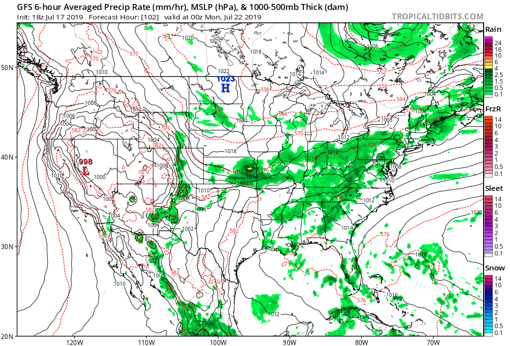
Thankfully, we still are forecasting a “game changer” of a cold front to plow through the region late Sunday and early Monday with storms (a few could be severe) followed by a much cooler and more refreshing air mass next week.
This is likely the first of a couple of cold fronts that will pass through the region between now and the end of the month, ensuring we wrap up July seasonal to cooler than average.