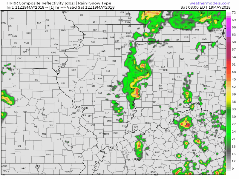
Scattered showers and a couple of rumbles of thunder will be most numerous this morning into the early-mid afternoon hours before briefly drier conditions build in this evening.
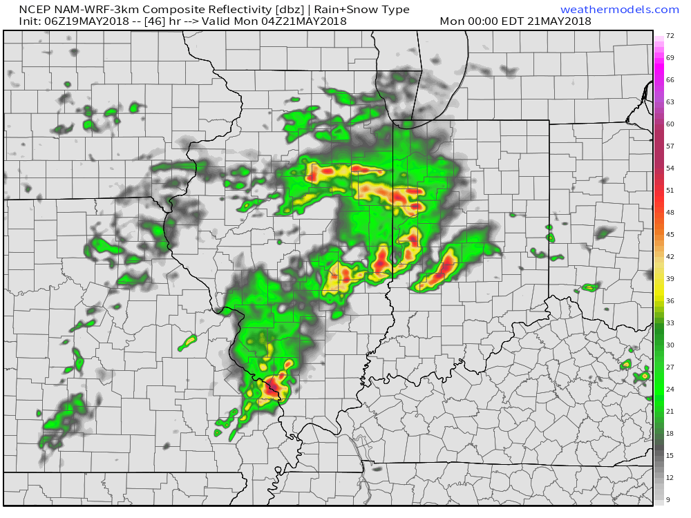
 Our attention will then shift to the potential of strong thunderstorms late Sunday. Higher resolution guidance suggests storms will begin to rumble into western Indiana late Sunday evening (around 9p to 10p) before tracking east into the overnight hours.
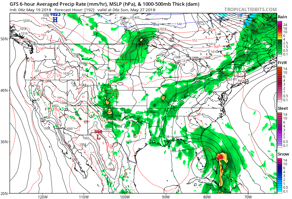
 With a stalled front nearby, shower and thunderstorm chances will remain in our forecast into the middle of the week. While it won’t rain the entire time, unsettled conditions will remain into Wednesday before high pressure provides drier conditions Thursday and most of Friday.
Thinking as of now is that a new storm system will approach next weekend, which would deliver a return of unsettled weather late Friday, continuing through the all-important Memorial Day and Indy 500 weekend. We obviously still have plenty of time to watch things unfold over the upcoming week and will get more specific as time grows closer.
A new storm system could result in an unsettled Memorial Day weekend around these parts.
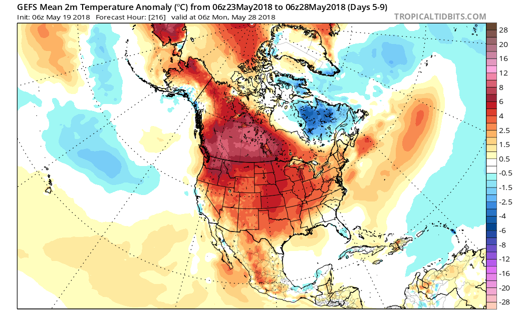
From a temperature perspective, the upcoming 6-10 days will run well above average, maintaining the warm May theme. Looking out further, there’s the possibility that the last couple of days of the month could trend cooler behind the Memorial Day weekend storm.