Our morning is off to a gorgeous start, including clear skies and pleasant temperatures! Take the coffee out on the front porch this morning and enjoy!
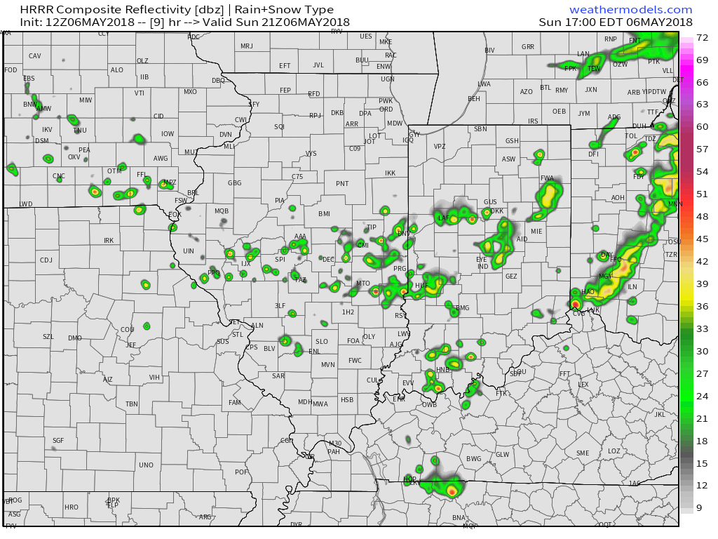
A cold front currently sits off to our northwest and this will move southeast as we head through the afternoon and evening hours. As the front slides through central Indiana, we’ll forecast scattered showers and thundershowers to develop this afternoon, lasting up to around sunset before diminishing.
 Drier and slightly cooler air will build in as we open the new work week. Overnight lows will fall into the mid and upper 40s both Monday and Tuesday mornings. High pressure will supply plentiful sunshine.
 A broad southwesterly air flow will return as we progress through the latter stages of the work week and head into next weekend. We’ll certainly notice an uptick in humidity by Thursday and that summer-like feel will remain into the weekend. The increased moisture will also result in periods of scattered showers and thunderstorms. Expect “splash and dash” variety of storms in a daily fashion beginning Wednesday evening.
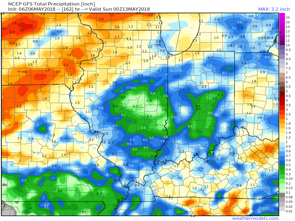
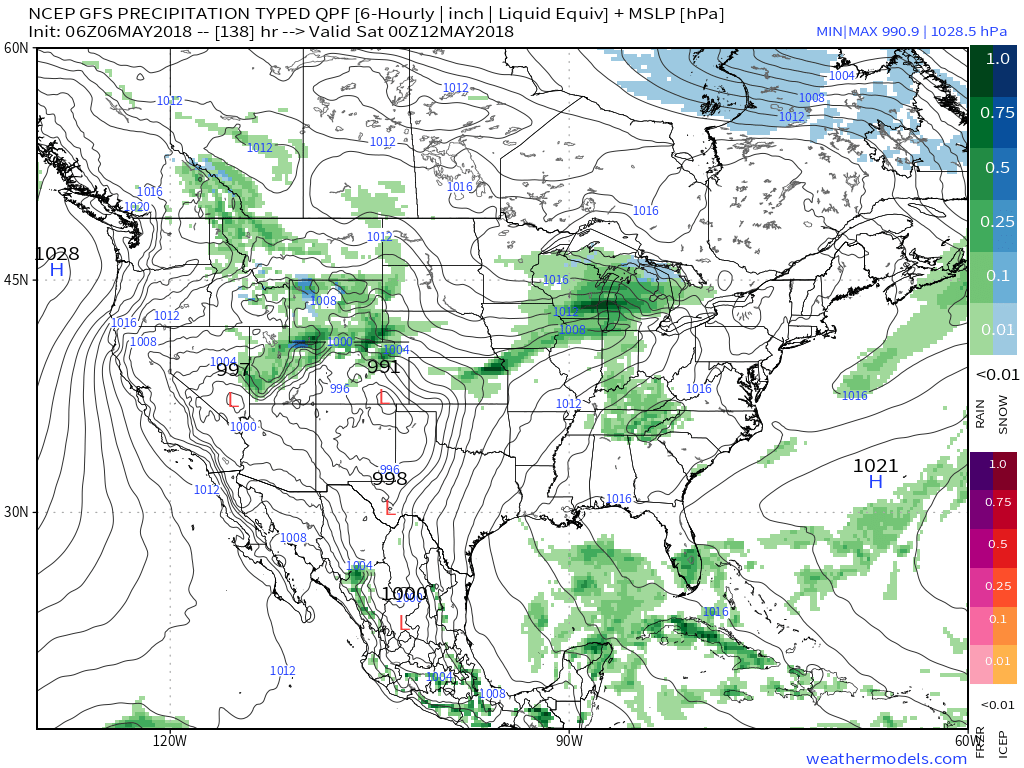 While scattered storms will be on the radar daily from midweek on, significant widespread rainfall isn’t expected. There will be some locally heavier amounts, but for the most part across central Indiana, 7-day totals won’t exceed three quarters of an inch.