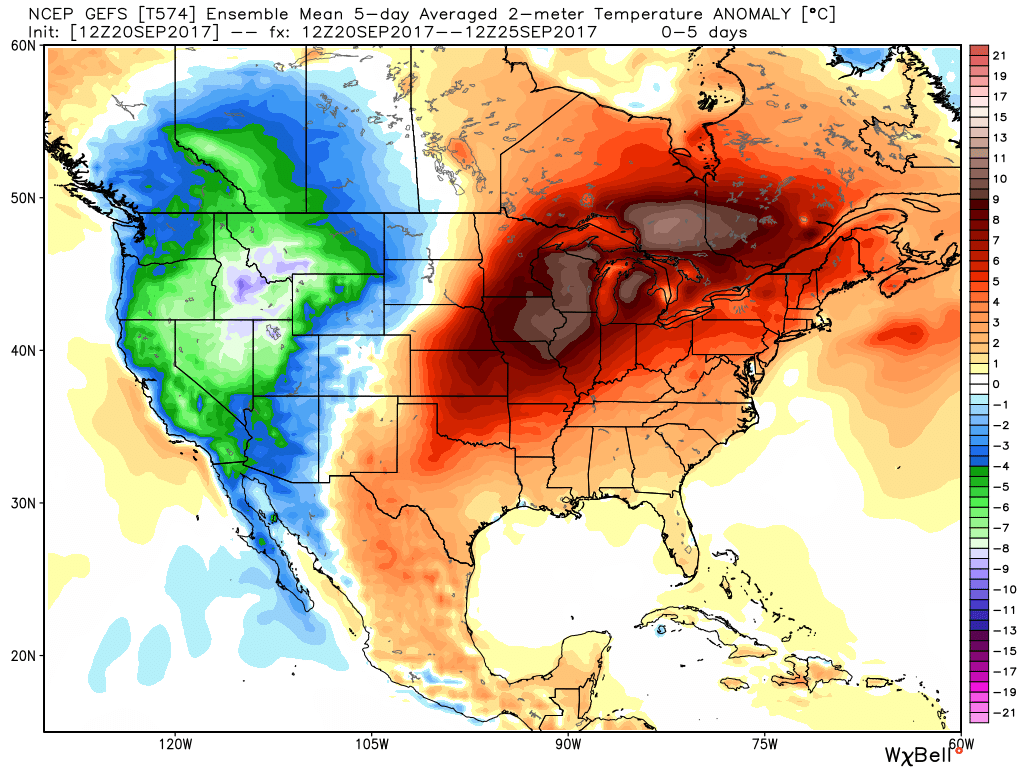
There are no changes to our ongoing forecast of “bonus” summer-like conditions into early next week. Highs will continue to zoom into the upper 80s and overnight lows will remain well above average (mid-to-upper 60s). (Keep in mind, averages now feature highs in the mid-70s and lows in the mid-50s).
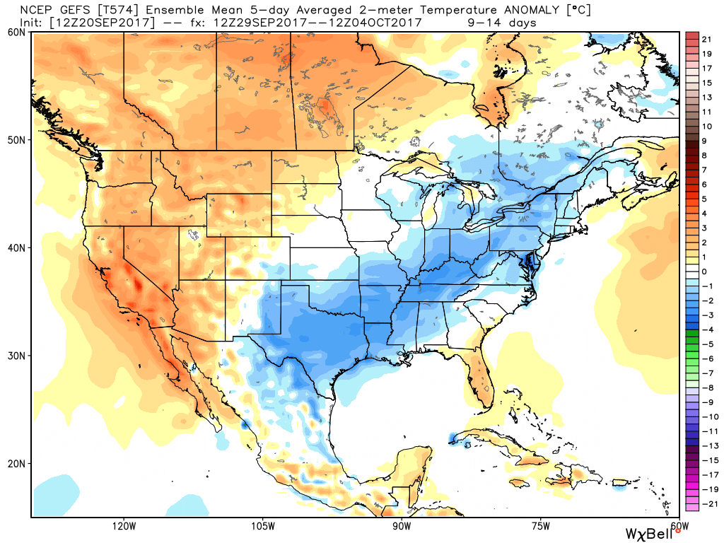
 However, a cold front will approach the middle part of next week and while this won’t be an efficient rain producer, it will serve to deliver a return of fall-like air as we close September and open October. From a precipitation stand point, rainfall amounts look “anemic” at best over the upcoming 7-10 days.
At this distance, scattered showers and thunderstorms are possible with the FROPA, but many will remain rain-free and even those that do pick up a shower or storm shouldn’t expect significant rains. What will be a much bigger deal will be the return of an authentic fall feel by next Friday, continuing into early October.

