
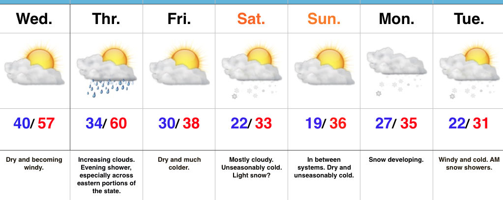
 Highlights:
- Windy day ahead
- Colder pattern develops
- Two snow chances in the days ahead
Hold On To Your Hats…The big story today will be developing strong and gusty winds, especially from the city and points north. Westerly gusts will approach 50 MPH+ this afternoon and evening. Hold onto your hats (and steering wheels)!
As we move into the latter portions of the week and into next week, a fast and active weather pattern will develop. Three disturbances will have at least some impact on our weather between Thursday evening and Tuesday morning.
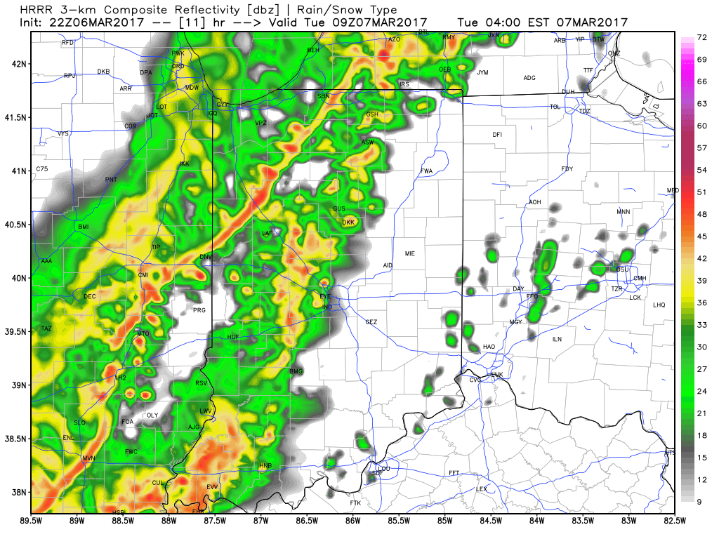
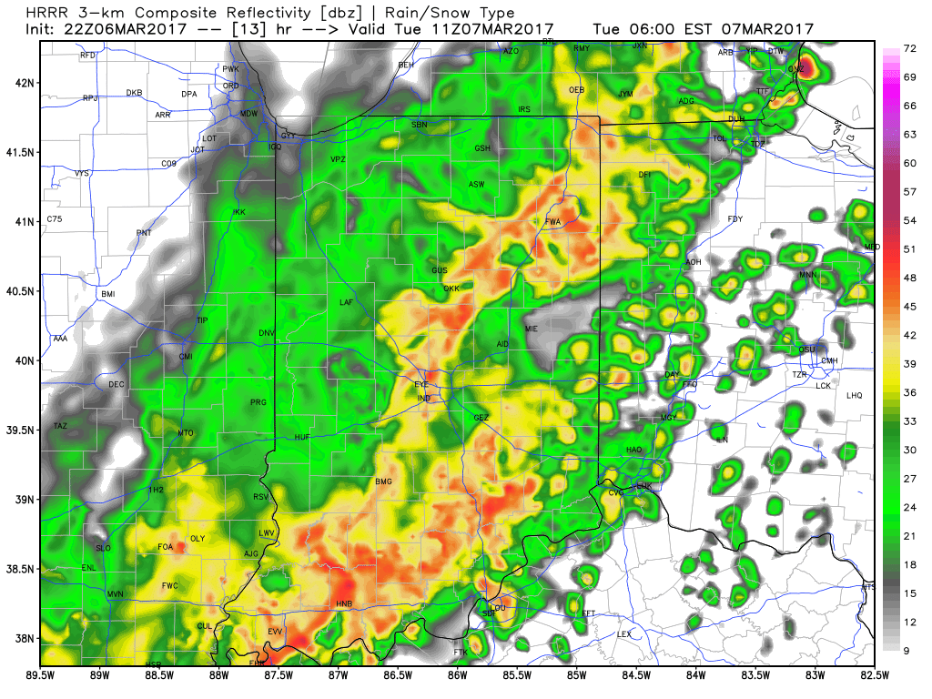
The first disturbance will result in an increase in cloudiness late Thursday along with an evening shower- especially across far eastern portions of the state. We’ll turn much colder to close the week and that’s when our second disturbance will approach. Clouds will increase Saturday and light snow is possible. Models have trended further south with this disturbance, but we need to keep an eye on this as a last-minute shift north could take place. As of this update, the most impactful disturbance looks to be the one that arrives Monday into Tuesday. Accordingly, we’ll forecast developing snow Monday, continuing Tuesday with strong and gusty winds and even colder air.
After a prolonged stretch of spring-like warmth, the upcoming forecast period will serve as harsh reality that Old Man Winter still has some fight left in him.
Upcoming 7-Day Precipitation Forecast:
- Snowfall: 1″ – 3″
- Rainfall: 0.10″

 Highlights:
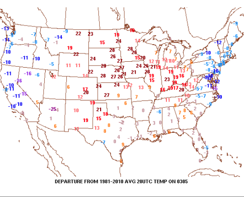


 Highlights: