Updated 03.24.24 @ 8:20a
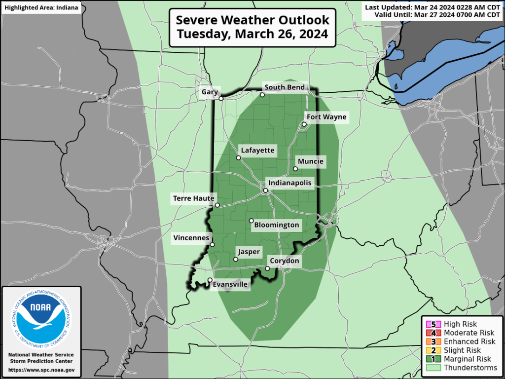
While a period of unsettled weather looms late Monday and Tuesday, the majority of the upcoming week will feature quiet conditions across our neck of the woods. We’re watching Tuesday afternoon for the potential of severe weather across the state.

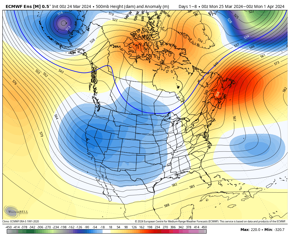
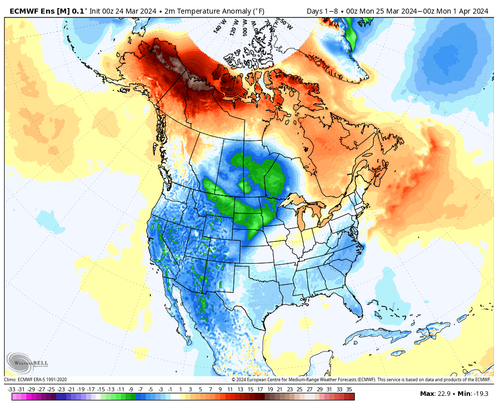
The ‘mean’ trough will settle into the western CONUS and that’s where the coldest anomalies will setup shop.


Forecast period: 03.24.24 – 03.31.24
We’ll close the weekend with quiet conditions in place. Anticipate gusty winds to kick up Monday as our next storm system approaches from the west. This will also deliver a few showers Monday night before heavier rain and embedded thunder arrives Tuesday predawn. An additional round of thunderstorms is expected Tuesday afternoon and a few of these could become strong to severe (damaging straight line winds are of greatest concern, but an isolated tornado can’t be ruled out).
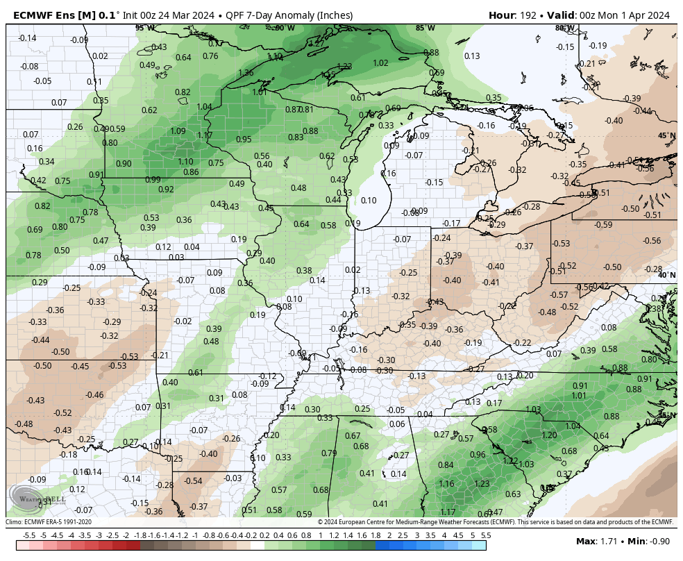
A cold front will sweep east and end the rain/ storm threat Tuesday night with calmer weather returning for mid and late week. The next chance of rain will arrive next weekend. Speaking of next weekend, though early, model guidance is suggestive that we may be looking at a heavy rain event around the time that we close out March and open April. Just something we’ll be keeping an eye on in the days ahead.
Upcoming storm dates to keep an eye on:
- 03.25 – 03.26
- 03.30 – 04.01
*10-day Rainfall Projection: 2.00″ to 3.00″
