Updated 03.08.25 @ 8:10a
While still chilly this morning, improvement begins in earnest this afternoon, including plentiful sunshine and temperatures pushing towards the 50° mark. (It’s a hint of what’s to come in the week ahead).
Simply put, spring vibes will be rampant this week as an extended period of sunny and dry weather is met with a substantial warm-up, as a prolonged southwesterly flow takes hold.

Not only will this result in a daily significant jump in daytime highs, but will slowly allow for moisture levels to increase by late week.

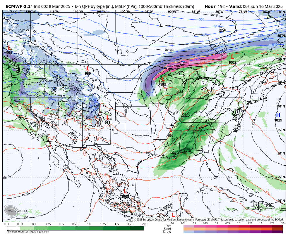
We’ll watch one storm system go by to our south midweek (should remain high and dry here), and then a more significant and widespread system will blow into town next weekend.
This system will be able to tap into the Gulf of Mexico so widespread showers and thunderstorms are anticipated around a week from today. It’s still too early to suggest there may be a severe component up this way with this storm, but we’ll monitor that potential as we go through the next few days.
Seasonably cooler air will flow into the region behind this system early next week.