|
Fri. |
Sat. |
Sun. |
Mon. |
Tue. |
Wed. |
Thr. |
|
63/ 74 |
61/ 79 |
63/ 82 |
61/ 82 |
58/ 80 |
54/ 75 |
52/ 78 |
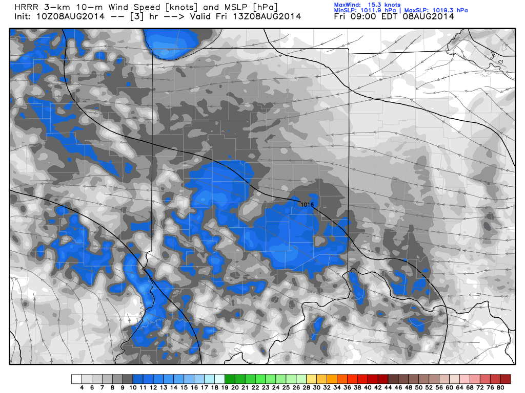
Easterly Flow, Drier Air…An area of low pressure will track across southern portions of the state. High pressure across the eastern Great Lakes will continue the easterly flow across central Indiana and greatly limit the northward extent of heavy rain. While we’ll see a few showers across central Indiana today, the heavy rain will remain across the southern 1/3 of the state. Otherwise, cloudy skies and easterly breezes will keep temperatures close to 10 degrees below normal here.
More Sunshine This Weekend…We’ll maintain a mention of a scattered shower both Saturday and Sunday, but this is nothing to cancel any outdoor plans over. Periods of sunshine will also build in and lead to a nice weekend, overall.
Early Week Cold Front…A cold front will sweep the state Tuesday and could have a couple showers and thunderstorms along it. The big story though won’t be rain and storms, but instead another push of cooler than normal air for late week.
7-Day Precipitation Outlook:
- 7-Day Rainfall Forecast: 0.50″-0.75″
- 7-Day Snowfall Forecast: 0.00″

