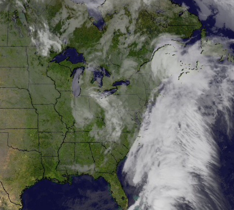
An upper level low is still impacting our weather this morning, but this feature isn’t wasting any time scooting southeast. In fact, by this afternoon, we should be looking at increasingly sunny skies and temperatures that will slowly recover from the chilly, raw readings of this morning.
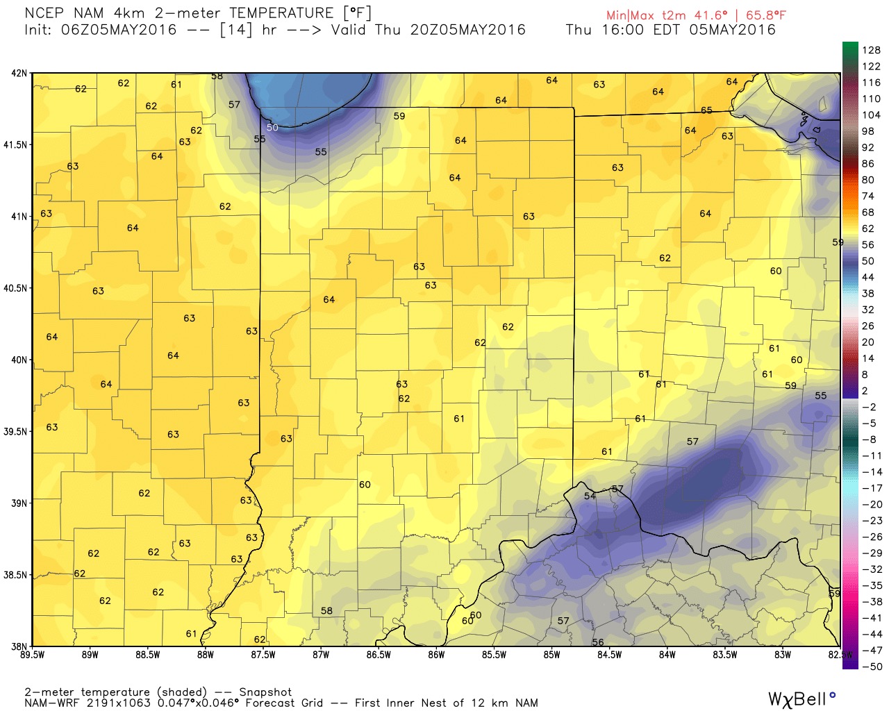
With the increasing sunshine, temperatures will recover into the lower 60s today (still below average, but an improvement).
High pressure will build into the region to wrap up the work week and provide a delightful close to what’s been a rather gloomy week. Mostly sunny skies and temperatures into the lower 70s are on tap.
That said, this is still an active weather pattern that will require close attention in the week ahead.
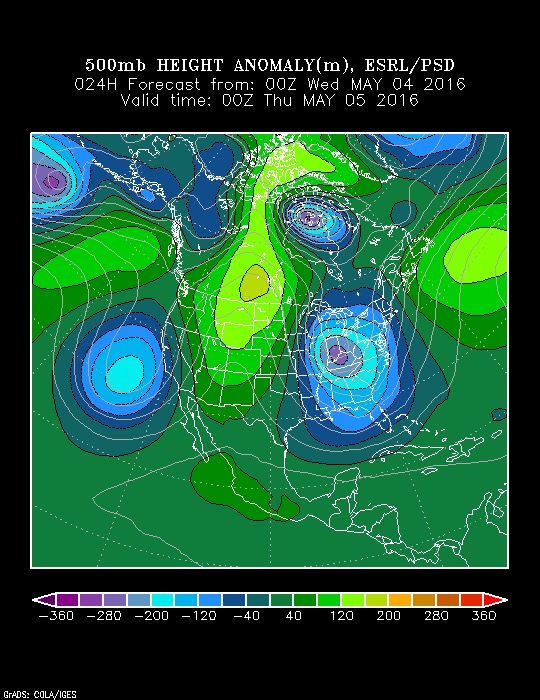
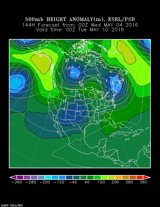
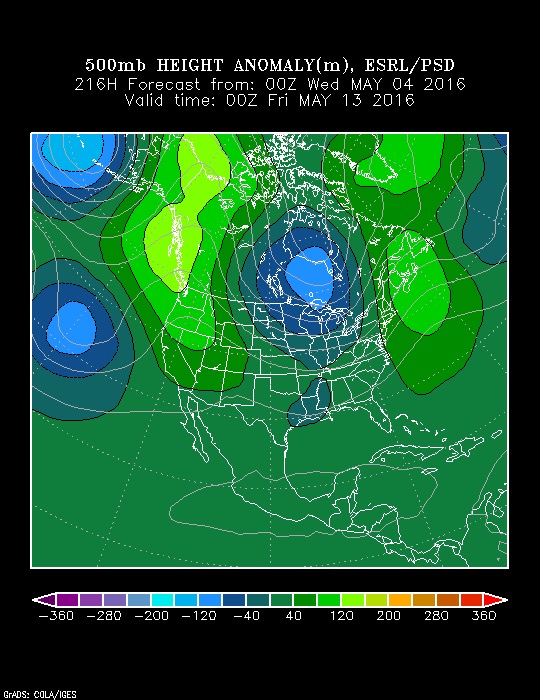
The anamalous trough will “relax” and give way to transient ridging, but there are indications of another trough setting up Days 8-10. Giving the pattern, it’s likely that the aforementioned trough will be deeper (more significant) than what model data currently portrays (image 3).
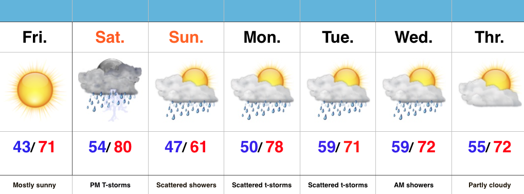
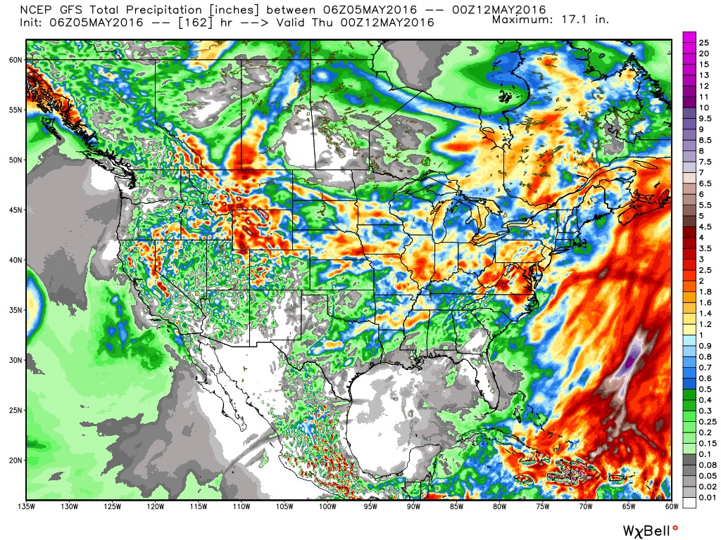
It’s a rather wet pattern, as well. 7-day rain numbers of 1″-1.5″ seems reasonable with locally heavier totals.
Our next chance of rain comes Saturday in the form of scattered, mostly PM variety, storms.
More later! Make it a great Thursday!