Happy Easter! From all of us at IndyWx.com, we wish you a blessed day!
Easter Sunday is off to a beautiful start with lots of sunshine, temperatures in the 40s, and light winds. Unfortunately, things will begin to change in rather significant fashion as early as the evening hours. Beforehand, expect sunshine to help boost temperatures into the lower 70s across many central IN neighborhoods. It’ll turn increasingly moist, as well, as surface dew points jump into the lower 60s.
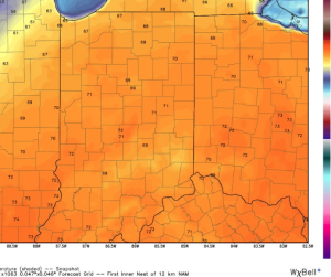
Highs today will reach the lower 70s.
Dew points will climb into the lower 60s by evening.
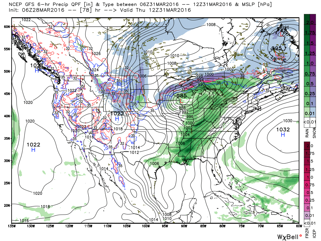
An approaching area of low pressure and associated cold front will provide just enough spin/ lift, in combination with the warmth and increasingly moist air mass, to ignite storms this evening. Some of these storms will likely reach strong to severe levels. We’re most concerned for the potential of damaging straight line winds and large hail.
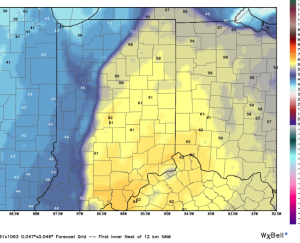
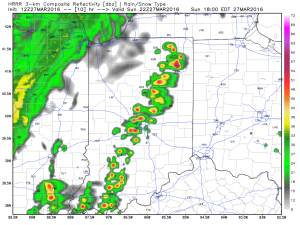
High resolution simulated radar data suggests storms ignite around 6p across central IN. We caution that this image should be used as guidance and not taken verbatim.
 Have a way to get the latest weather information later this afternoon and evening. Watches or warnings may be required…