
You must be logged in to view this content. Click Here to become a member of IndyWX.com for full access. Already a member of IndyWx.com All-Access? Log-in here.
Permanent link to this article: https://indywx.com/video-pleasant-close-to-the-work-week-wintry-changes-loom-next-week/
Jan 24
VIDEO: Milder Close To The Work Week; New Bitterly Cold Pattern Emerges As We Open February…
You must be logged in to view this content. Click Here to become a member of IndyWX.com for full access. Already a member of IndyWx.com All-Access? Log-in here.
Permanent link to this article: https://indywx.com/video-milder-close-to-the-work-week-new-bitterly-cold-pattern-emerges-as-we-open-february/
Jan 24
Slow Going This Morning…
Freezing drizzle and areas of light snow will continue into the early afternoon hours before we finally begin to dry things out.
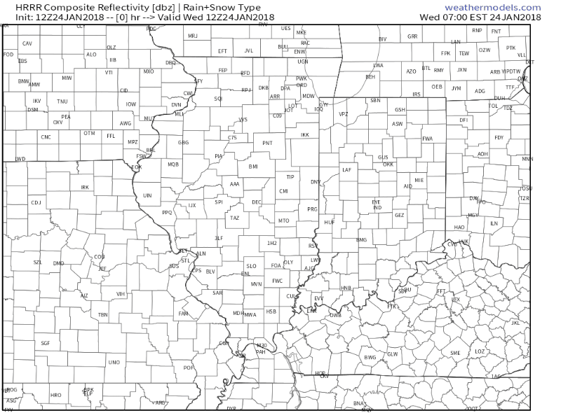 Temperatures are in the upper 20s for most central Indiana communities this morning and it’s not until we get into the early to mid afternoon hours when we anticipate temperatures to climb to around freezing. As a result, slick conditions (especially side streets and back roads) can be expected into the afternoon and evening hours.
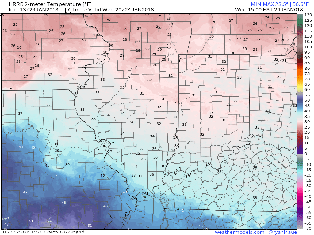 Overnight lows tonight will fall into the lower to middle 20s so re-freezing and slick spots on area roadways can be expected into Thursday morning.
 Thankfully, a southwesterly air flow and new warming trend will develop through the day Thursday, along with a return of sunshine!
 Much more later today on the developing new cold pattern…
Permanent link to this article: https://indywx.com/slow-going-this-morning/
Jan 23
Overall Mild Pattern Not Without Challenges…
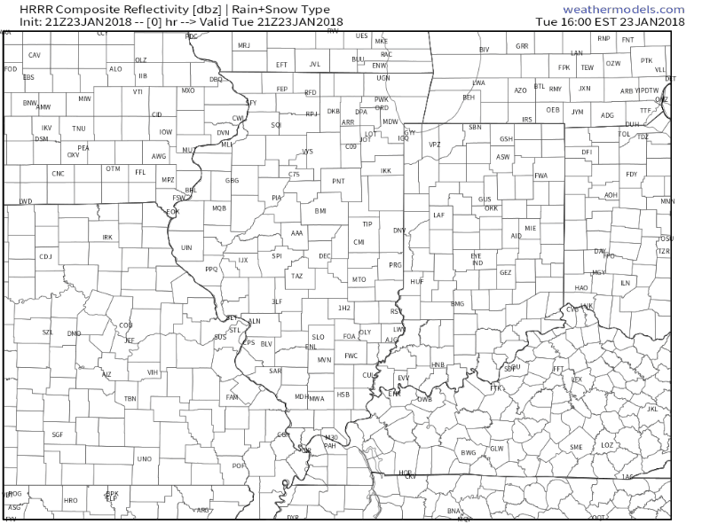
I. Areas of light snow and freezing drizzle will continue into the overnight hours and on into Wednesday morning. Watch for slick spots overnight-Wednesday morning.
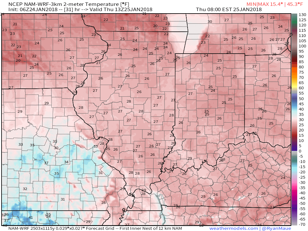
II. Clouds will finally begin to erode Wednesday night and set us up for plentiful sunshine Thursday. Along with the increasing sunshine, a southwesterly air flow will develop and assist with providing a new “warming” trend as we close the work week. Mid-40s are ahead Thursday and lower-50s Friday. A “big hair warning” is officially in effect Friday as winds gust between 30-40 MPH Friday. 🙂
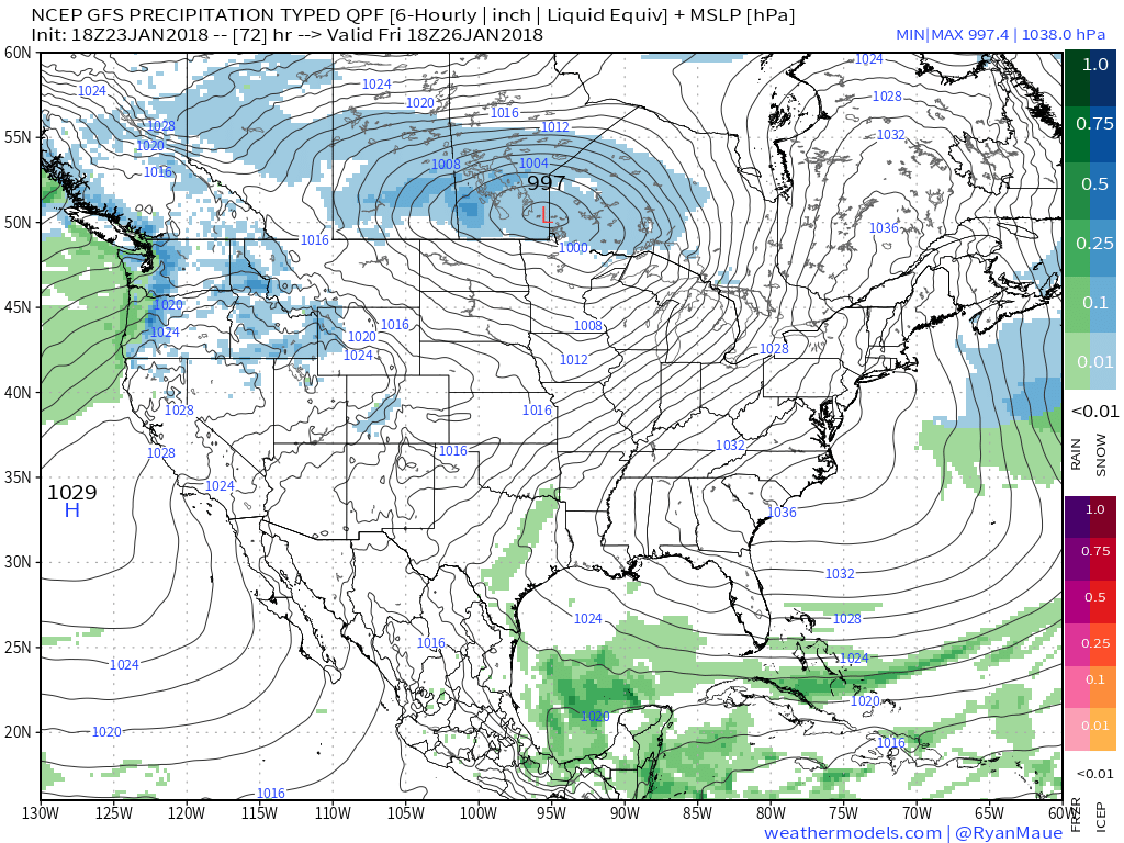
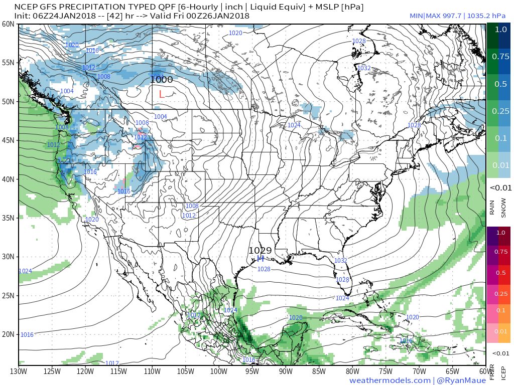
III. Our next storm system arrives on the scene overnight Friday into Saturday with light rain.
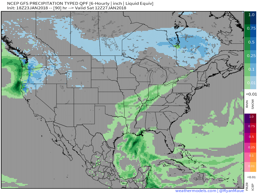
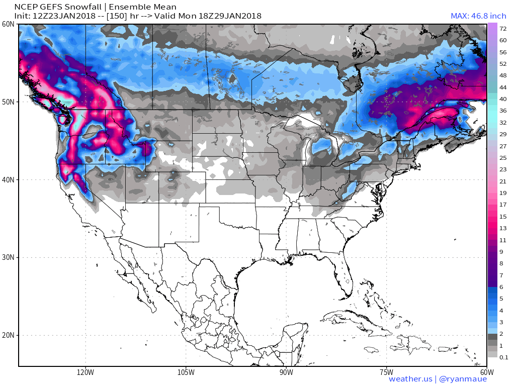
IV. We’re also monitoring the possibility of a “sneaky” snow maker Sunday night into Monday in a fast northwest flow. Light snow will impact portions of the Ohio Valley, but we’ll have to fine tune things over the next few days with respect to specific track and placement of the swath of accumulating snow. Stay tuned!
Permanent link to this article: https://indywx.com/overall-mild-pattern-not-without-challenges/
Jan 23
VIDEO: Wintry Conditions Return Today; PM Snow Squalls?
You must be logged in to view this content. Click Here to become a member of IndyWX.com for full access. Already a member of IndyWx.com All-Access? Log-in here.
Permanent link to this article: https://indywx.com/video-wintry-conditions-return-today-pm-snow-squalls/
