Quiet Now; Weak System For Christmas…

Highlights:

  • Quiet weather for Christmas travel
  • Weak system Christmas Day
  • Stronger storm mid week

Chilly, But Rather Quiet…We’ll have some clouds around, but we should stay generally free of precipitation through Christmas Eve.  A weak weather system will provide some light snow or a wintry mix Christmas morning before ending as light rain or drizzle.  This won’t be a big deal, but will provide a festive time of things as you wake up to see what Santa brought.

A stronger (and warmer) storm will deliver rain Thursday along with gusty southerly winds.  Dry and colder weather will return as we get set to close out the week.

Pre-Christmas Weather Rambles…

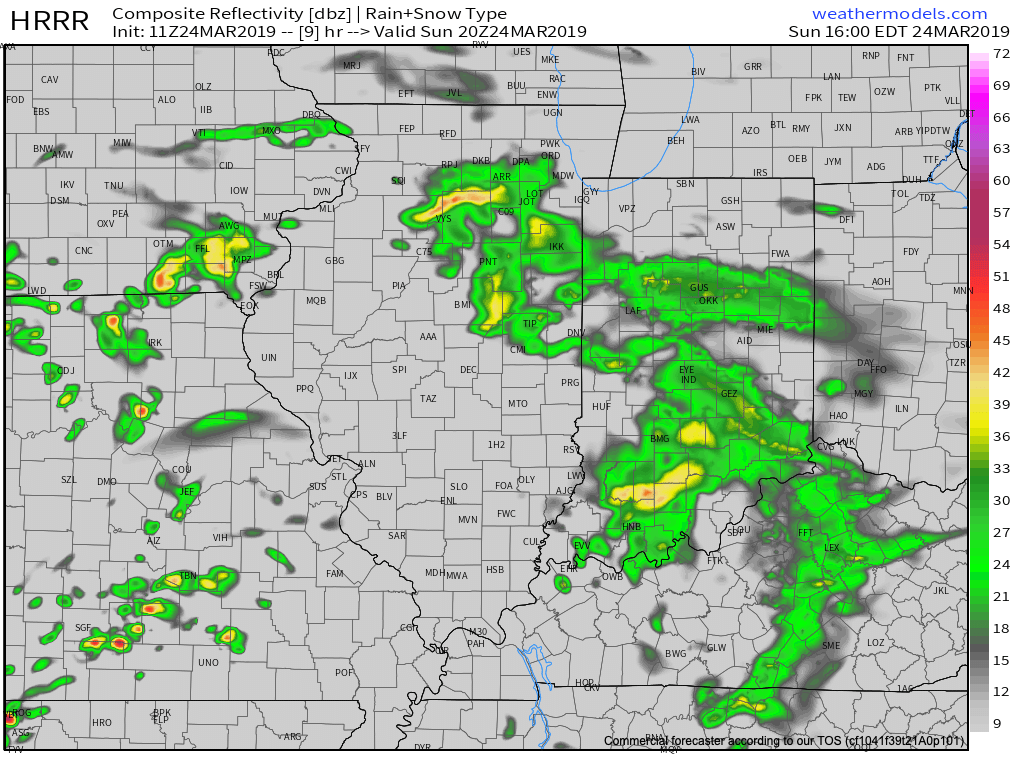
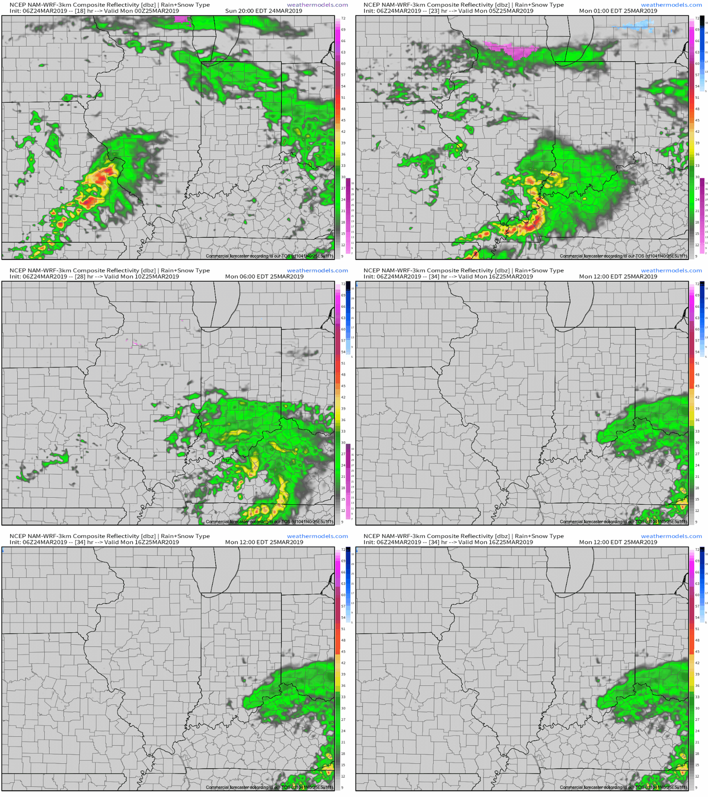
I. While we certainly aren’t talking about significant weather events between now and Christmas Day, there will be a couple of impulses of upper level energy that may be just strong enough to produce snow showers and flurries at times.  We’re tracking (2) weak disturbances that stand a chance to get a couple of snow showers going Sunday evening and again Christmas Day.  The one on Christmas, itself, will be a bit stronger and may have a shield of more organized precipitation- likely that would start as wet snow before transitioning to rain before ending.

II. A much stronger storm system will wrap up to our northwest Wednesday night and Thursday.  We’ll notice an increasingly strong southerly breeze during this time period and rain will be on the increase as we progress through the day Thursday.  The trade-off?  Highs between 55° and 60° to close the week- though those temperatures may actually come Thursday evening before cooler air begins to slip in here during the day Friday.

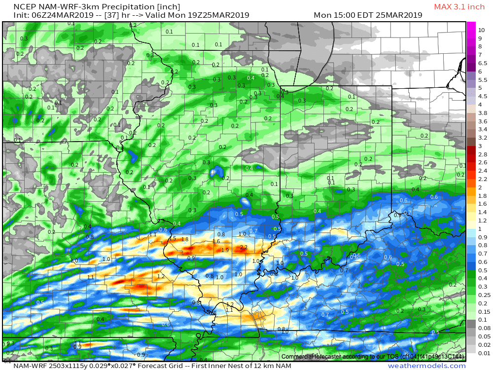
As things stand now, both the GFS and European models, courtesy of Weathermodels.com, aren’t overly excited on rainfall amounts with this storm system, but I think they’ll trend wetter as time goes on.  We’ll continue to forecast amounts between 0.50″ and 1″.

III. All attention is squarely focused on a significant pattern change that takes shape as we head into the new year.  As mentioned in previous posts and discussions, the transition is likely to be a stormy one, but it’s far too early to talk precipitation types.  A combination of ingredients appears to be aligning to create a colder than normal (and potentially significantly so) pattern at the traditionally coldest time of year (mid-Jan).

In the more immediate term, we note the latest GEFS showcases a classic “horse shoe” block that will favor a wintry regime across the east to open the new year- thanks to Tropicaltidbits.com.

Christmas Flakes?

Highlights:

  • Tracking weak weather systems leading up to Christmas
  • Mild close to next week
  • Pattern change looms

Couple Of Weak Systems…We don’t expect any sort of significant weather impacts, locally, between now and the big Christmas holiday.  With that said, there will be a couple of weak impulses of energy that will zip through the region, offering up the potential of a couple of light snow showers and flurries Sunday evening and again Christmas Day.

Quiet conditions will return Wednesday, but we’ll notice an increase in cloud cover- especially during the afternoon and evening.  This will be a hint of things to come Thursday.  Though it’ll be wet, at least we’ll have unseasonably mild conditions in place.  Some south-central Indiana communities may even crack the 60° mark!  A cold front will settle south through the region Friday, eventually allowing a return of more seasonable conditions Friday night.

As we look ahead, there are growing indications that a significant pattern change looms as we usher in the new year.  It may not be a bad idea to stock up that wood pile…

Damp Close To The Work Week; Milder Than Normal Pattern Continues…

Highlights:

  • Wet at times to close the week
  • Rain ends as a bit of snow Friday
  • Light snow potential on Christmas Eve

Milder Than Normal, But Damp At Times…A storm system will deliver periods of light rain to central Indiana today into the wee morning hours Friday.  Steadiest rain will fall to our east, but we will notice greater overall coverage of rain this evening into the overnight period.  As colder air wraps in here late tonight and Friday morning, precipitation will end as light snow (no accumulation is expected).

The weekend will feature quiet conditions and our attention will shift to the potential for a weak weather system to scoot through here on Christmas Eve.  With just enough cold air in place, precipitation would likely fall as light snow.  Again, this isn’t expected to be a big deal, but we’ll remain hopeful for a “touch” of snow as Santa gets set for his big night.

Dry conditions return on Christmas Day and temperatures will begin to moderate ahead of a big wet storm system that will arrive the middle of next week.