Weekend Threat: Subtle Differences Make All The Difference…

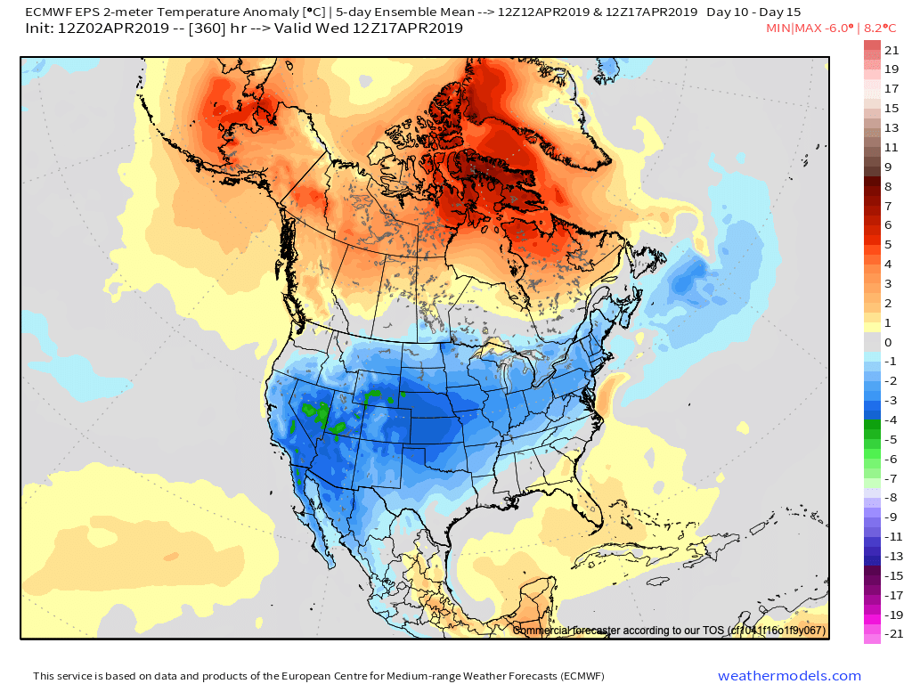
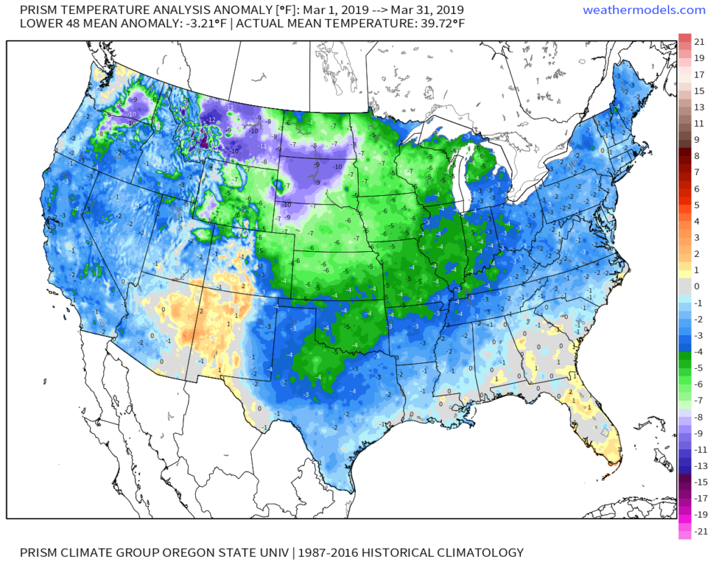
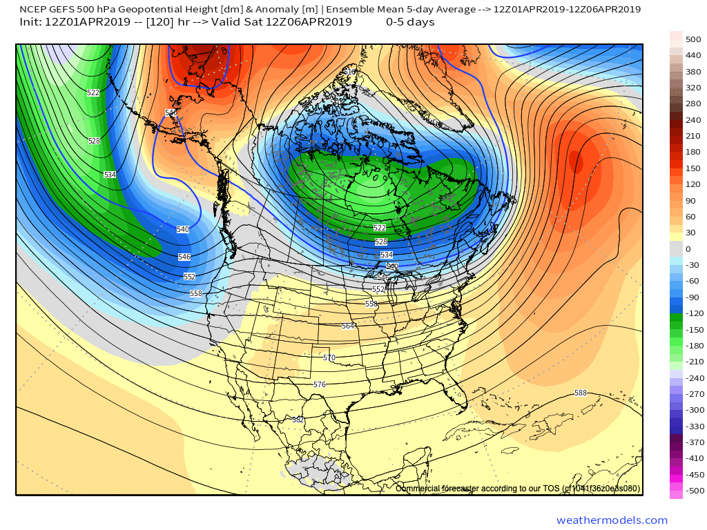
We wanted to take a quick opportunity to discuss the weekend snow threat. While certainly on the table, it’s far from etched in stone. We note the models doing their usual “herky-jerky” moves 5-6 days out. At the end of the day, there’s a notable threat present, but we prefer to watch things unfold over the next few days before beginning to get too excited.

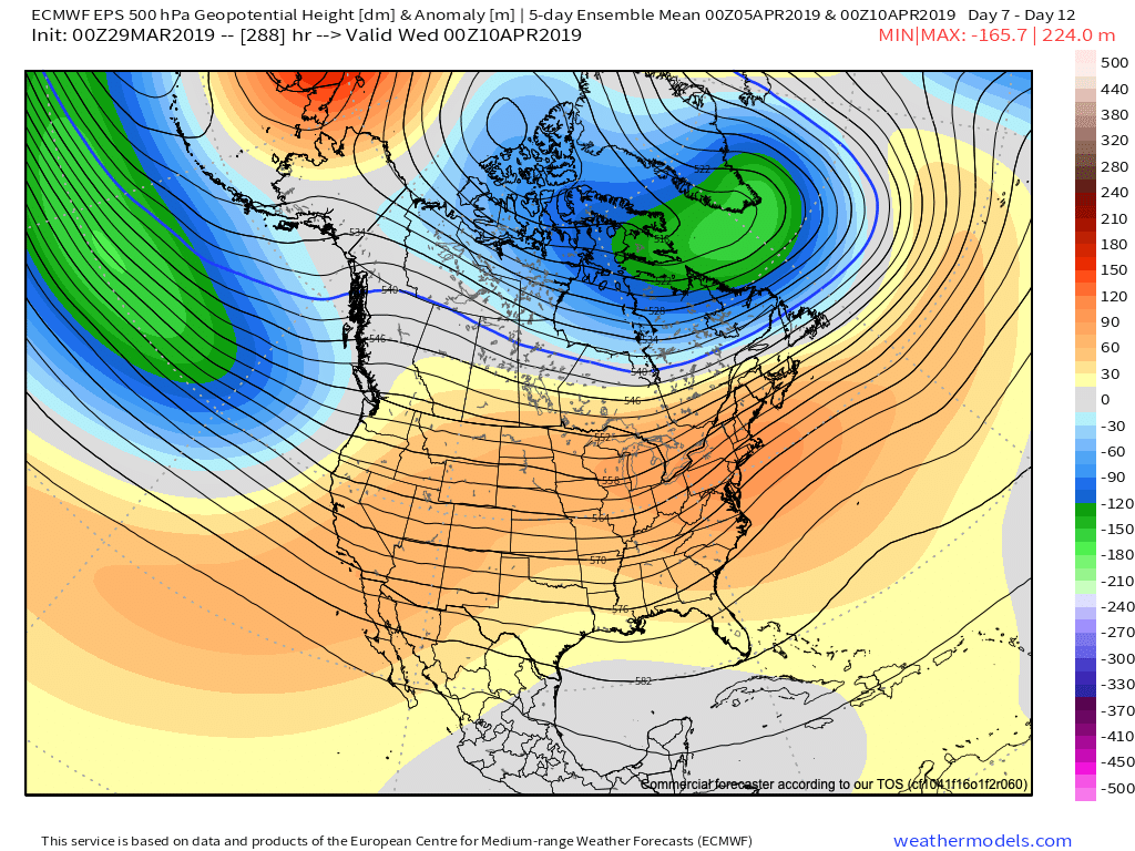
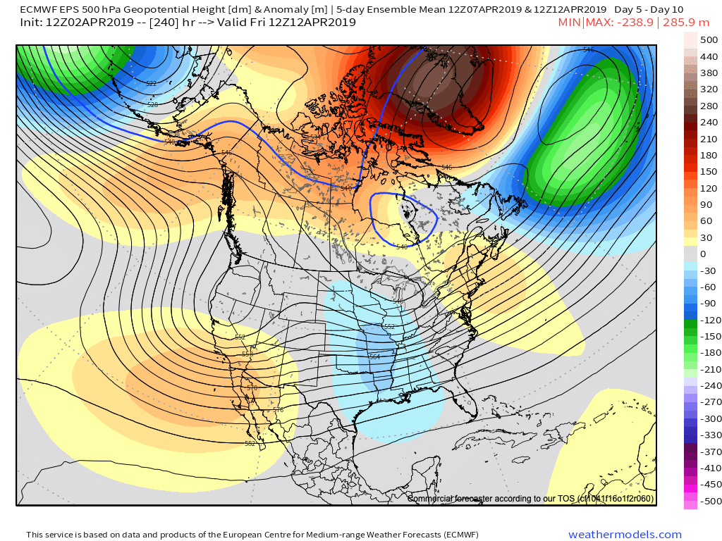
Subtle differences between the European model (image 1) and GFS (image 2) are seen in the handling of the 500mb pattern. The GFS is quicker to phase the upper energy and leads to a more robust system.  The European isn’t nearly as excited and instead dampens the energy coming east.  These seemingly minute differences can make all the difference when it comes to the sensible weather that may (or may not) impact your weekend plans.  If the European is correct, this is a rather non-event, locally.  However, should the GFS idea be correct, this will be a widespread Ohio Valley snow event that’ll require gassing up the snow plows…

The European model weakens the energy coming east needed to fuel a more substantial storm Friday into Saturday.
The GFS model bundles the upper energy and phases things- leading to a more significant wintry threat by Saturday.

Stay tuned as we’re still a few days out from having confidence needed to begin to sound the alarm. 😉

In the longer range, tonight’s data continues to head in the direction where winter will make up for lost time to close January and head on into February.  Delayed, but not denied…

Rain By Lunchtime And More Active Times In The Days Ahead…

Rain will overspread the state early afternoon and most area rain gauges can expect to accumulate between one tenth and one quarter inch by this evening. Tuesday is a day…

You must be logged in to view this content. Click Here to become a member of IndyWX.com for full access.  Already a member of IndyWx.com All-Access?  Log-in here.

Week Ahead Outlook: Relatively Quiet Times Remain…

I. Today won’t feature nearly as much sunshine as we enjoyed Saturday, but considering it’s early-January, we can’t complain about mid-upper 40s and dry conditions.  Morning fog in spots will burn off to increasing mid and high level cloudiness today ahead of our approaching Monday storm system.

II. A cold front will push rain back into the state as we open the work week.  Rain will reach greatest coverage around the lunchtime hour into the early afternoon.  Overall, central Indiana rain gauges can expect to accumulate somewhere between 0.10″ and 0.25″ Monday.

Note this storm system won’t have a Gulf of Mexico (GOM) connection. Thus, the reason behind the lighter rainfall numbers compared to recent events.

III. Colder air will pour in behind the storm system.  Highs will struggle to reach the freezing mark Wednesday and Thursday. Dry times return.

IV. A weak system may deliver rain or snow next weekend, but modeling differs on how they handle this energy.  We’ll keep an eye on things and update accordingly.

Trying to Answer Questions When Winter Will Show Up…

Daily, we’re receiving questions around if and when winter will show up. While admittedly later than originally thought here, we’ve never been in the camp of “throwing the towel” in on winter. Our winter outlook that includes below normal cold and near average snowfall remains unchanged.

Before we get into some of our reasons why we think winter will show up (and likely make up for lost time), the upcoming week will remain much warmer than average.

We’re tracking (3) storm systems that will deal the region rain over the upcoming week:

  1. Southern IN this afternoon and evening
  2. All of the state Monday
  3. All of the state next Friday into Saturday

As a whole, rainfall amounts won’t be particularly impressive for most, with 7-day totals between 0.25″ to 0.75″ for central portions of the state. Heavier amounts can be expected across southern areas.

Now, let’s look ahead to some potentially colder times. Before moving forward, it’s important that we recognize models have attempted once already to drive in a wholesale pattern change to colder (originally thought to be underway now). Perhaps it’s a case of “delayed, but not denied.” There’s a lot going on behind the scenes:

  • Sudden stratospheric warming event and potential polar vortex displacement, etc.
  • SOI flipping from a Niña-like state to one we’d expect to see associated with an El Niño
  • Active MJO remains

There are significant changes brewing in the arctic/ higher latitudes that have to raise an eyebrow at the very least.

Today

Mid-January

Note the higher pressures building over the upcoming 10-14 days in the arctic regions.

Not surprisingly, the models begin to tank the AO.

The PNA rises…

Something that also lends credence to a potential pattern shift is the recent SOI drop.

This would tend to suggest that an active storm track may be in place as the more bonafide cold shift is underway.

The moral of the story? Despite the milder period being extended a couple weeks longer than originally thought, there’s still a lot on the table this winter. It’s far too early to think winter’s over before it’s really even begun for most. We expect to see increasingly wintry conditions show up around the middle of January…

Stay tuned.