Wetter Trends…
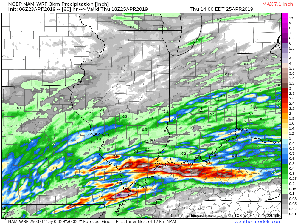
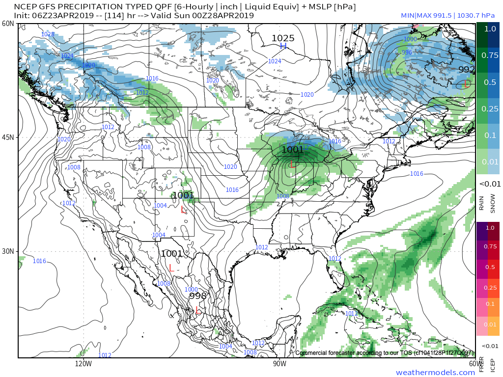
The relatively quiet stretch of weather of the past several days has been nice. Unfortunately, as attention shifts to what lies ahead, quiet times are limited. Even in the short term, guidance has trended significantly wetter with the Thursday PM-Friday AM period, and longer term the story remains focused on heavy rain next week.
Tomorrow morning’s post will focus more on the longer range pattern, but tonight we wanted to provide a quick update on the storm system set to arrive tomorrow into Friday morning.

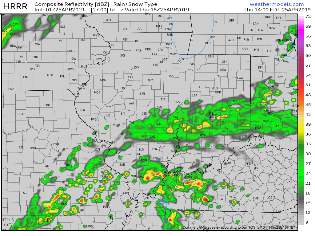
A few showers will be around the I-70 corridor tomorrow morning, but these shouldn’t be a huge deal and coverage will remain scattered in nature.
That begins to change as we move into Thursday afternoon with more widespread rain and some embedded moderate to heavy showers anticipated.
Thereafter, widespread rain should continue into early Friday morning. The axis of heavy rain has trended much further NW when compared to even this morning. Now, most guidance brings the 1” totals as far north as the Indianapolis region. Lighter amounts will be seen northwest of the city.
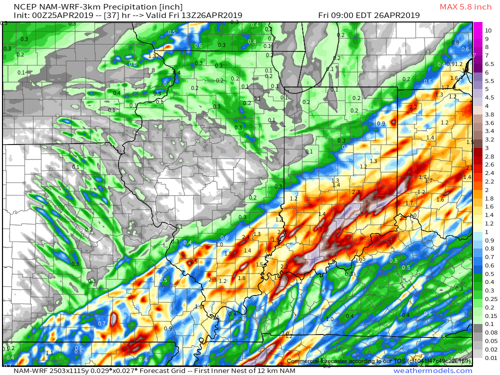
We still think rain will come to an end Friday morning and we should introduce an increasingly sunny sky as we get set to wrap up the work week.
Much more in the AM on what lies ahead over the weekend into next week…