Weekly AG And Severe Weather Update…

Forecast period: 08.18.19 through 08.25.19

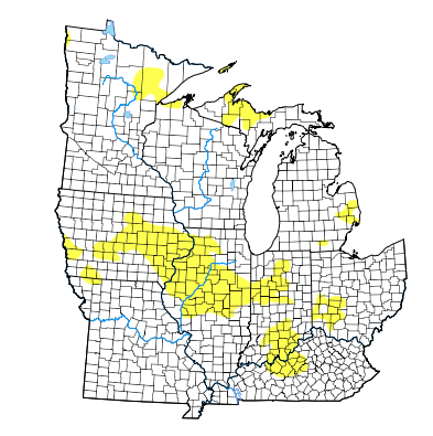
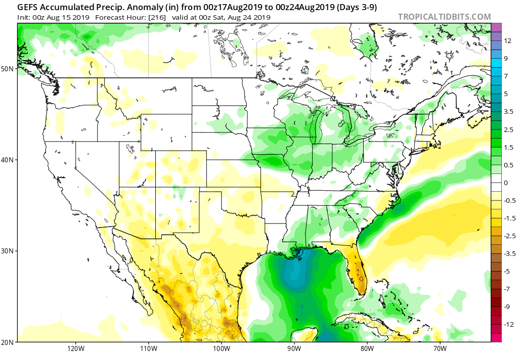
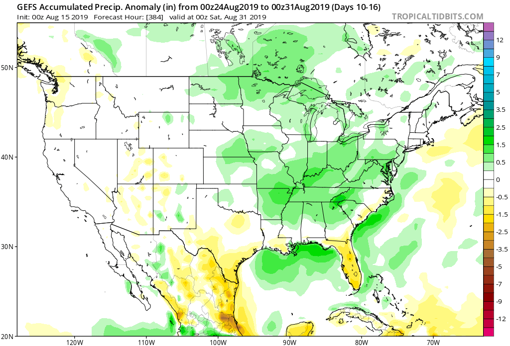
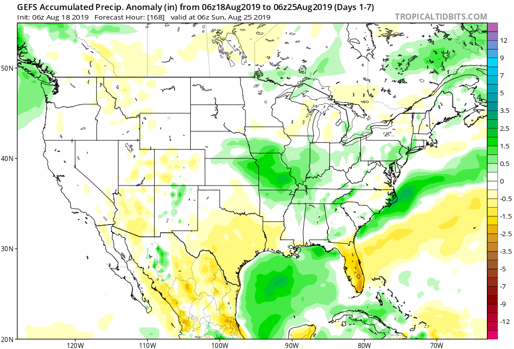
7-Day Precipitation: Rainfall is expected to run near average through the forecast period. We’re forecasting widespread 0.50″ to 1″ amounts to be common across central Indiana, but there will be locally heavier amounts where strong storms track.

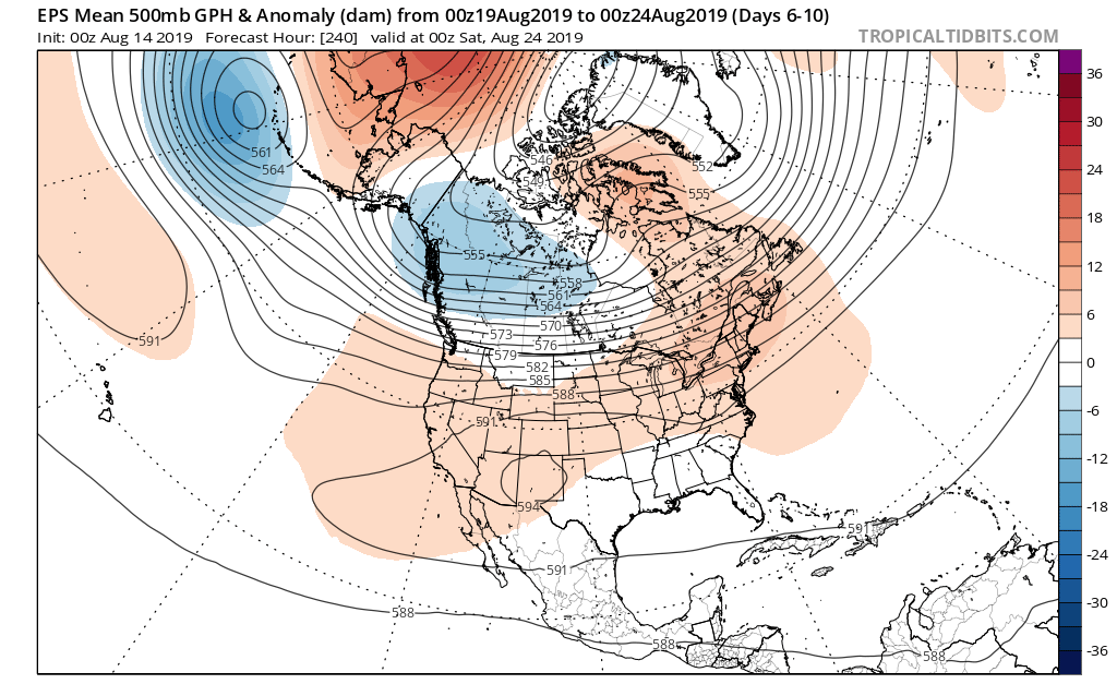
7-Day Temperature Outlook: Temperatures are expected to run near average through the forecast period- balanced by a warmer than normal open to the period and cooler than average close.

Severe Weather Outlook: An active weather pattern will remain with us through the 1st half of the new week. In addition to the threat of severe weather today, we’re also closely monitoring the potential of strong to severe storms Tuesday night-Wednesday as a cold front slices into the hot and humid air mass in place. The pattern will turn much calmer once we get to the 2nd half of the week as cooler, drier air builds in.

Day 1: After a quiet start to our Sunday, a line of thunderstorms is expected to form to our northwest this afternoon. That line should move southeast and begin to impact central Indiana late afternoon into the early evening hours. Some of the stronger cells will promote the chance of large hail and damaging straight line winds.

Day 3: Scattered thunderstorms will remain in the forecast Monday, but widespread severe weather isn’t anticipated. As we look ahead, a cold front will slice into the hot and humid air mass in place across the Ohio Valley Tuesday night into Wednesday. As you might expect, the clash of air masses between significantly cooler and drier air behind the boundary will lead to scattered to numerous storms during the transition. Accordingly, we’ll need to remain on guard for the threat of additional severe weather (threats similar to that of today) during that time frame before much quieter, calmer weather takes over Wednesday night into next weekend.

Permanent link to this article: https://indywx.com/weekly-ag-and-severe-weather-update-4/

VIDEO: Weekend Update And More EPO Talk…

You must be logged in to view this content. Click Here to become a member of IndyWX.com for full access.  Already a member of IndyWx.com All-Access?  Log-in here.

Permanent link to this article: https://indywx.com/video-weekend-update-and-more-epo-talk/

VIDEO: Times, They Are A Changin’…

You must be logged in to view this content. Click Here to become a member of IndyWX.com for full access.  Already a member of IndyWx.com All-Access?  Log-in here.

Permanent link to this article: https://indywx.com/video-times-they-are-a-changin/

Wetter Times Set To Go Along With The Warmer Pattern?

As we look to crank up the heat into the 2nd half of August, there’s growing confidence we may also add wetter times into the regime.

The most recent Drought Monitor Update shows ‘abnormal’ dryness extending through the majority of the state. While we await another update this morning (8a eastern), it’s likely to include more of central Indiana that missed out on beneficial rainfall over the past week.

With that said, there’s growing reason to believe that an increasingly moist southerly flow will not only produce better chances of rain to close the work week and head into the weekend, but longer term as well (into the Weeks 2-3 time period).

Note how the NEW JMA Weeklies are much wetter across our region not only in the more immediate term, but into the Weeks 3-4 time period, as well:


The GEFS is also showing the flip to wetter times:

A lot of this likely has to do with the modeling seeing the impact of a Bermuda High that will help assist in steering Gulf moisture northward through the 2nd half of the month. Additionally, a fairly active storm track is expected (especially for this time of year) to our northwest and this will result in more frequent opportunities for rainfall across not only central Indiana, but a large chunk of the Ohio Valley, as a whole.

Permanent link to this article: https://indywx.com/wetter-times-set-to-go-along-with-the-warmer-pattern/

Changes Afoot…

Month-to-date, a negative EPO (East Pacific Oscillation) has dominated. The result has been for a cooler regime across the central into the interior Northeast.

Negative EPO temperature profile.
Month-to-date temperature anomalies.

That said, big changes are taking place with the EPO and it’s set to swing strongly positive as we head into the 3rd and 4th week of the month.

This correlates to a MUCH warmer/ hotter pattern across not only our portion of the country, but a large chunk of the Lower 48.

To no surprise, we see a building heat wave showing up on the medium to long range models with more consistency beginning this weekend, continuing into next week. This is the type regime that can lead to lows in the lower 70s and highs in the lower 90s for several consecutive days.

How long does the warmer pattern last? It’s all up to the EPO. As long as that baby stays positive, bet on the warmth.

Permanent link to this article: https://indywx.com/changes-afoot/