Good evening and happy Friday! Tonight’s video looks at the weekend weather, another push of cool air next week, and touches on the long range looking at late August and…
You must be logged in to view this content. Click Here to become a member of IndyWX.com for full access. Already a member of IndyWx.com All-Access? Log-in here.
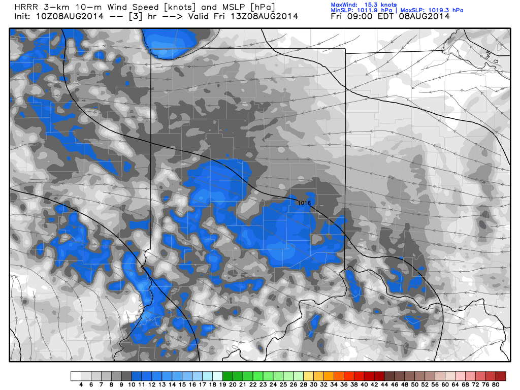
Easterly Flow, Drier Air…An area of low pressure will track across southern portions of the state. High pressure across the eastern Great Lakes will continue the easterly flow across central Indiana and greatly limit the northward extent of heavy rain. While we’ll see a few showers across central Indiana today, the heavy rain will remain across the southern 1/3 of the state. Otherwise, cloudy skies and easterly breezes will keep temperatures close to 10 degrees below normal here.
More Sunshine This Weekend…We’ll maintain a mention of a scattered shower both Saturday and Sunday, but this is nothing to cancel any outdoor plans over. Periods of sunshine will also build in and lead to a nice weekend, overall.
Early Week Cold Front…A cold front will sweep the state Tuesday and could have a couple showers and thunderstorms along it. The big story though won’t be rain and storms, but instead another push of cooler than normal air for late week.
7-Day Precipitation Outlook:
7-Day Rainfall Forecast: 0.50″-0.75″
7-Day Snowfall Forecast: 0.00″
A drier easterly flow, courtesy of high pressure to our north, will continue to “eat away” at the northward rainfall progress today.
Tonight’s video update discusses the rainy scenario setting up for some on Friday and looks ahead to next week’s big push of cool air. Don’t look for much in the…
You must be logged in to view this content. Click Here to become a member of IndyWX.com for full access. Already a member of IndyWx.com All-Access? Log-in here.
Less than 24 hours away from portions of the region experiencing a heavy rain event, we still have a wide range of rainfall numbers. This morning’s water vapor image clearly…
You must be logged in to view this content. Click Here to become a member of IndyWX.com for full access. Already a member of IndyWx.com All-Access? Log-in here.
The video uncovers some of our latest thinking in terms of rainfall placement Friday. Additionally, we show you at least one forecast model that thinks rather gloomy conditions continue into…
You must be logged in to view this content. Click Here to become a member of IndyWX.com for full access. Already a member of IndyWx.com All-Access? Log-in here.