Updated 03.31.24 @ 10:07p
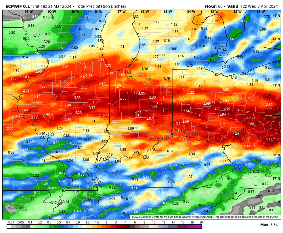
Multiple waves of heavy rain will result in flooding across central Indiana over the next few days. Model guidance agrees on a widespread 3”-4”+ event across the region. Heaviest amounts will fall north of the I-70 corridor.

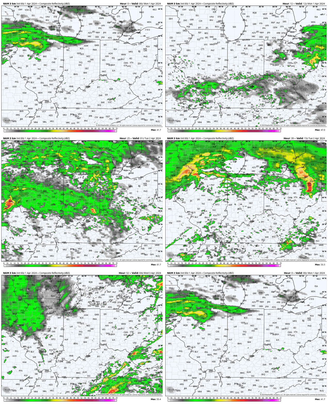
Severe weather will also grab headlines, including large hail and tornado potential. As of this evening’s guidance, greatest chances of severe storms will come during the predawn Monday and Tuesday windows and again Tuesday afternoon directly ahead of the frontal boundary.

Accumulating wet snow follows Wednesday evening & Thursday…
Never a dull moment around these parts!
