Updated 11.29.24 @ 7:30a We have to go back more than a decade to find a more persistently cold open (1st half) to December. A sustained eastern trough, along with…
You must be logged in to view this content. Click Here to become a member of IndyWX.com for full access. Already a member of IndyWx.com All-Access? Log-in here.
Updated 11.21.24 @ 6:45p After an unseasonably warm November, the season’s 1st snow took place right on schedule. (Thank you for all of your reports, by the way. Please keep…
You must be logged in to view this content. Click Here to become a member of IndyWX.com for full access. Already a member of IndyWx.com All-Access? Log-in here.
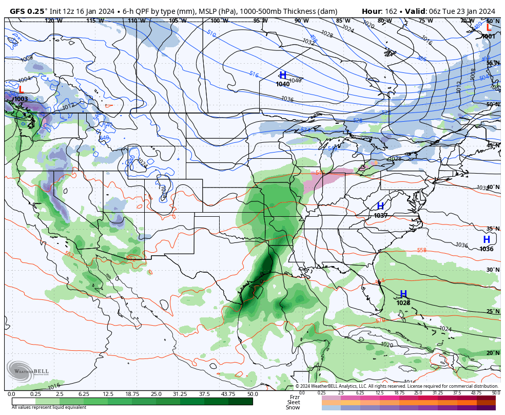
Today and most, if not all, of Wednesday will be plain ole cold but at least precipitation free. We’ll have to watch short term guidance closely for a band of snow that will develop across northern Indiana overnight and into Thursday morning. We think this snow band will sink south into at least north-central Indiana after sunrise Thursday before falling apart likely around Indianapolis. A quick 1”-2” of snow is likely across northern and north-central Indiana Thursday morning.
Our next opportunity of snow (area wide) will move in Thursday night and Friday morning. This will be a much higher ratio type snow (think 20:1) than typical with the cold, arctic airmass in place. We should easily be able to accumulate 2”-4” with this event, with the potential of a couple 4”+ reports. (Snow removal clients, plowing and salting will be activated by Thursday evening).
A fresh round of bitter, arctic air flows in as we kick off the weekend. With a fresh snowpack, another round of subzero lows should be expected. Look for highs in the 10s Saturday and 20s Sunday. Wind chill values will dip to around -20° as we kick off the weekend.
Though a moderating trend will kick in in full force next week, we’ll have to watch for the potential of a freezing rain and/ or sleet event Monday night into Tuesday (arctic air is always slower to erode than usually modeled) and a true shift to a wet pattern for the middle and latter part of next week.
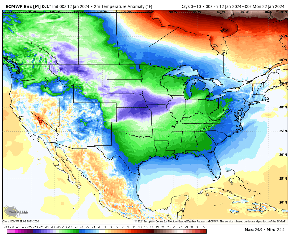
The upcoming 10-days is a case of cold and if you believe some of the guidance, even colder (next weekend). Multiple nights below zero and dangerous wind chill values of 20° to 30° below zero are on tap at times during this period. You know that we’re interested to see if we meet our respective targets. It’s not just the magnitude of the cold, but the duration and widespread nature, as shown over the upcoming 10-day temperature anomalies from last night’s European ensemble.
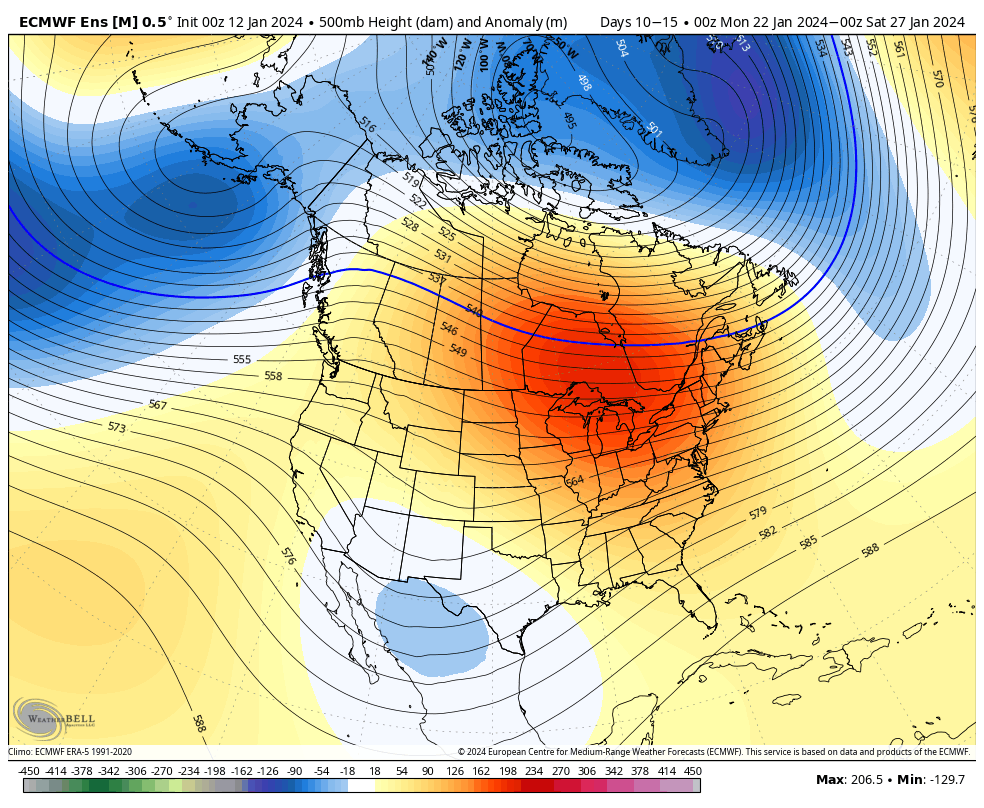
But milder changes are on the horizon as we rumble through the warmer phases (at least this time of year) of the MJO and see some temporary trends within our teleconnection suite (AO, NAO, EPO, and PNA) that favor a period of much less harsh, and even milder than normal conditions developing by the last week of the month.
After our frigid stretch, temperatures even only a few degrees above normal will feel like a heatwave.
The hunch here is that we return to another cold stretch as we rumble into February. Long range guidance shows “part 2” of our high latitude blocking event and the thought here is this is a byproduct of a combination of sea surface temperature (SST) configuration in the northwest ATL, the current state of our Nino, as well as the SST configuration in the central/ northern PAC. At any rate, the alignment between teleconnections and, of course, the MJO rolling into the colder phases supports this idea. Let us worry about that and you enjoy the late month “mild-up!” Heavens knows after these next couple weeks, you will have earned it!
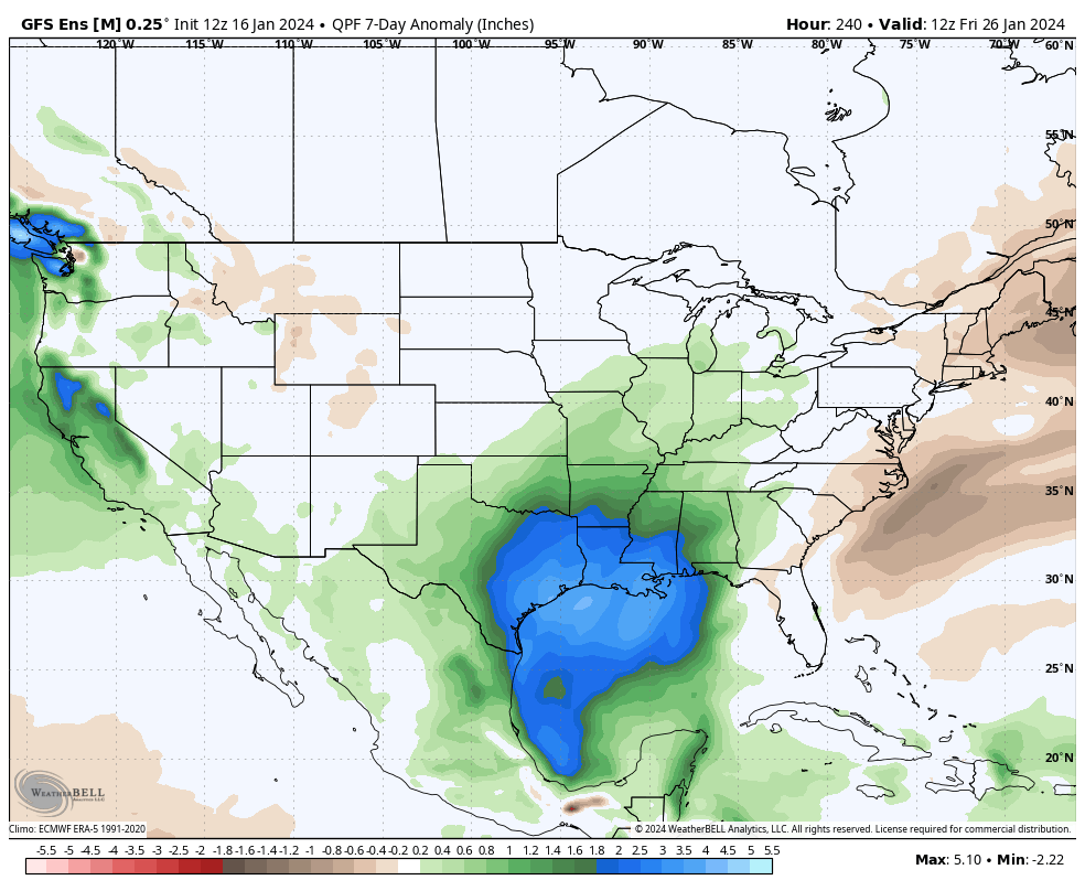
We’ll continue to keep tabs on the threat of snow over the next couple weeks. Things can, obviously, change but as of now I’m not seeing any hefty snow threats for central Indiana. The one feature that does potentially require watching is out there towards the end of next week, but the overall fast paced flow should prevent this from deepening into anything overly significant. At least that’s the way we see it now.
We’ll continue to keep close tabs on short-term trends but feel good with what we have out there concerning rain/ snow amounts, timing of the transition, and damaging wind potential.
Updated 01.11.24 @ 6:12p Busy times remain in the good ole forecast office! This evening we dig into not only new long range thoughts but look deeper into the latest…
You must be logged in to view this content. Click Here to become a member of IndyWX.com for full access. Already a member of IndyWx.com All-Access? Log-in here.